4 key Application Scenarios of Drone Mapping in the UAE
In the UAE, smart cities and large-scale construction projects are developing rapidly, and drone mapping has become one of the most important technologies in the field of modern surveying and spatial data acquisition.
VastArrive’s engineering team is committed to the practical application of drone mapping in complex and challenging environments. Through extensive field experience, we have found that drones significantly improve mapping efficiency in terms of time, data accuracy, and risk control.This article will combine practical application scenarios and data results to provide you with an in-depth understanding, from a professional perspective, of the key value of drones in surveying and mapping in the UAE.
Why Drone Mapping Is Essential in the UAE
Drone mapping is significantly using UAVs or drones having high-resolution cameras, LiDAR, and multispectral sensors as their main tools for data collection and production of GIS, CAD, 3D models, and terrain analysis outputs. In comparison with the traditional ground surveying method, it provides a quicker acquisition of data with less field equipment.
The situation in the UAE, where the infrastructure and smart city development are at a high scale and speed, necessitates the collection of rapid, large-area spatial data. The desert terrain together with the extreme heat and limited accessibility of some sites makes traditional ground surveys not only time-consuming but also very pricey. The application of drone mapping not only cuts down the number of people on site but also safeguards operations and delivers accuracy of the centimeter level that is fit for BIM workflows, urban planning, and digital twin development through RTK/PPK positioning.
Moreover, the environmental aspect of the drone market is another point pushing the technology’s growth. The UAE and Saudi Arabian renewable-energy drone market was worth about USD 9.4 million in 2022 and is expected to expand at a 28.6%+ CAGR through 2030, thereby increasing the demand for drone-based surveying and mapping solutions directly.
4 Types of Drone Survey Applications
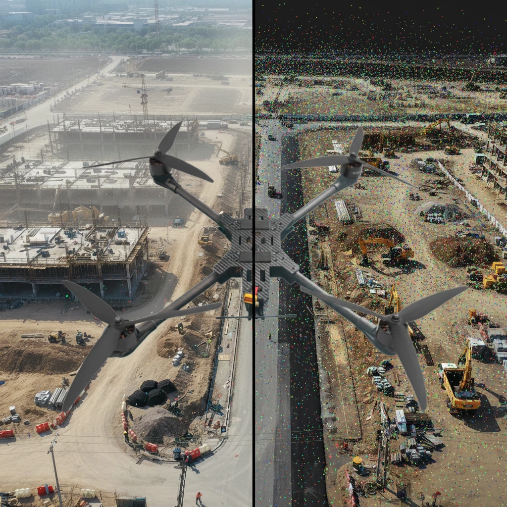
Infrastructure and Construction Surveying
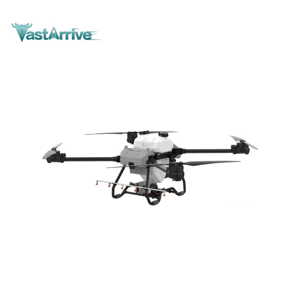
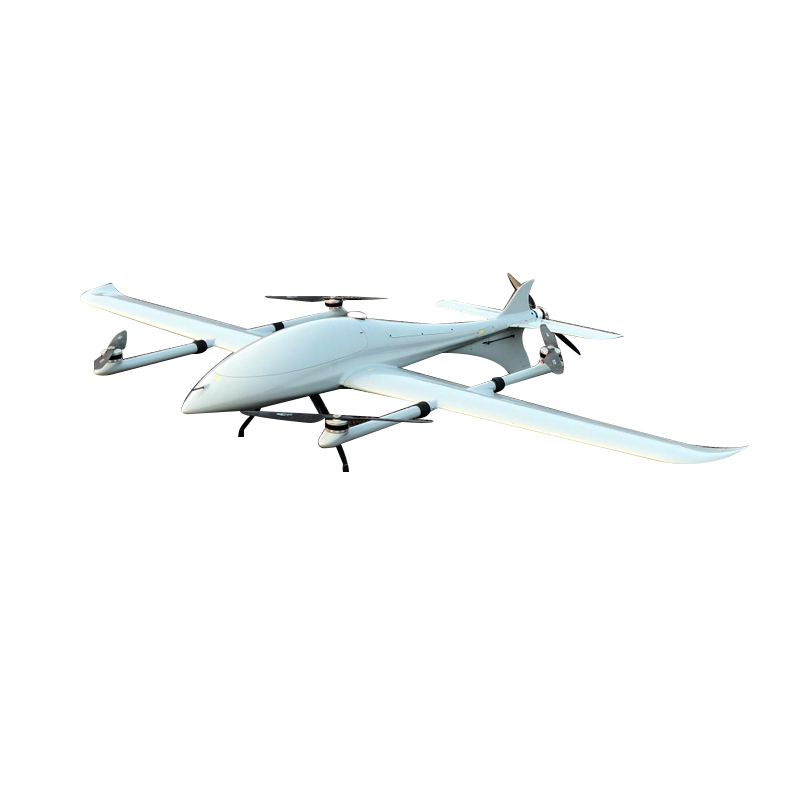
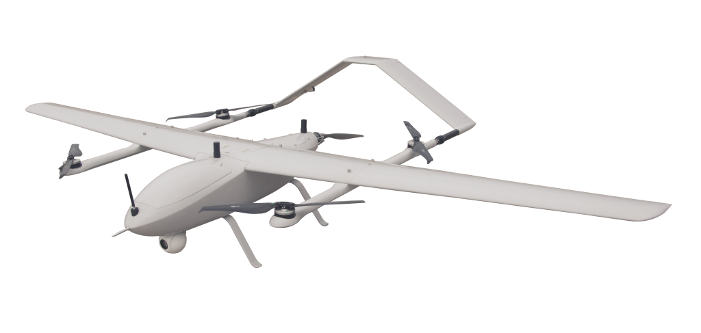
The employment of drones in surveying for construction has brought about great advancements in efficiency, precision, safety, and economy. The studies conducted in the industry indicate that drone mapping can cut down the time for site survey by 60–70%, yielding high-resolution maps and 3D models to be used in BIM workflows. At VastArrive, we utilize the VA-F15 drone for mapping, monitoring of the project, and earthwork calculation; the drone’s capability of flying at a high speed and carrying a heavy load allows for quick, survey-grade coverage that is compatible with CAD/BIM systems.
During the Abu Dhabi highway expansion project, the VA-F15 drone’s weekly UAV missions provided by the drone aerial surveys produced orthomosaics and 3D point clouds that:
- Data collection replaced long manual measurements and was done in a very short time;
- The volume of cut/fill was accurately computed and site progress comparison was facilitated;
- By doing the surveying of complex zones from the air, field exposure was reduced, and site safety was improved.
As per the reports from the industry, drone mapping is a source of creating detailed models that hold the ground for the entire ELT period, and it also makes it possible for the designer’s intention to be aligned with the field and thus reduce the amount of rework done, which is costly.
In short, on UAE infrastructure projects, the drone VA-F15 and its peers do not merely entail the traditional surveys, they totally ripple through the workflows thus leading to fast, accurate, and safe spatial data collection.
Energy and Utility Asset Surveying
Drones are a great option for the inspection of solar farms, pipelines, and power lines with a fast, safe, and economical way.
In UAE energy fields, assets are most of the time located in far-off desert areas. VA-F15, along with LiDAR, thermal, and multispectral sensors, facilitates the collection of survey-grade data over large areas. The long-standing flying skill and high-capacity weight of the drone enable thorough inspection without compromising personnel safety.
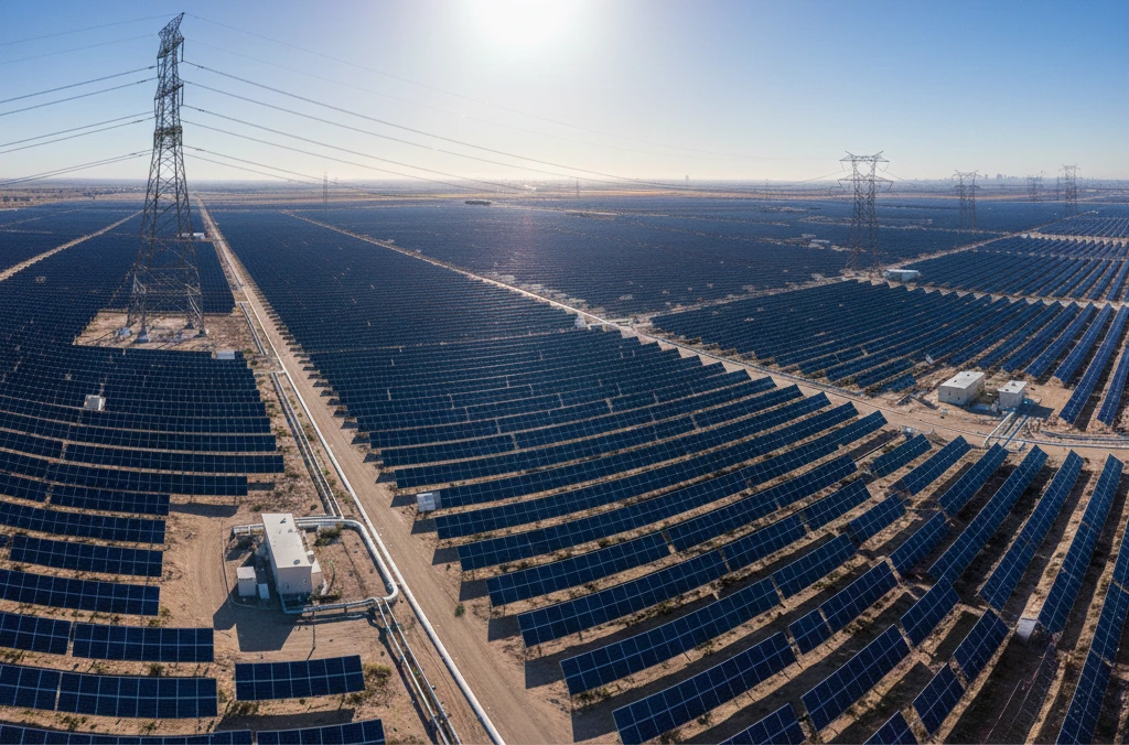
One-day UAV surveys of giant solar farms found hotspots and shading problems—previously, the same task would take weeks. Inspections of power lines with VA-F15 generated 3D models and vegetation analysis across several hundred kilometers, thus enhancing predictive maintenance and cutting down operational costs by almost 40%.
Environmental Monitoring and Ecological Mapping
Drones provide accurate and prompt information which can be used for ecological management and conservation purposes.
Multispectral and high-resolution VastArrive UAVs, which are equipped with sensors, cover coastlines, wetlands, and green spaces rapidly while creating orthophotos and vegetation indices that can be analyzed in GIS. Its long-range data link combined with high-speed flight makes it possible to conduct repeated monitoring over large areas, thus, allowing consistent temporal comparisons.
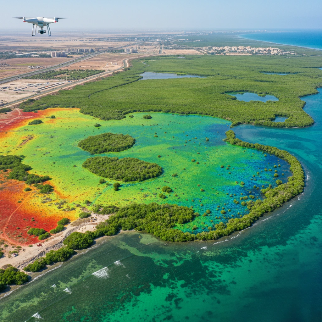
On the UAE coastlines, VA-F15 flights have been mapped for erosion, vegetation health, and wetland boundaries, which made possible the early intervention and decision-making based on the evidence. Drone surveys have resulted in a 50-70% increase in efficiency while high data quality was preserved.
Agricultural Surveying and Land Resource Assessment
Drones are playing a major part in the future agricultural practices by their ability to optimize resource use and to do the monitoring of crops at very high resolutions and speeds through rapid mapping.
The aerial survey for land evaluation of crop health, soil moisture, and irrigation with the VA-F15 multispectral and thermal sensors takes place. Its large payload and long flight time allow for a massive area of farms to be surveyed in just one flight and thus the data for precision farming is ready.
In the case of UAE, the VA-F15 surveys on farms detected stressed crops, saved irrigation water and gave precise predictions of crop yield. The use of drone surveys instead of manual inspections led to a time cut of more than 70% which in turn resulted in better decision-making and sustainability.
The described cases are proofs that drone mapping and applications for drone surveys are boosting agricultural monitoring and land resource evaluation.
Engineering Challenges in Drone Mapping Operations
While drone mapping and drone survey applications deliver fast, accurate, and safe data across infrastructure, energy, environmental, and agricultural projects, they face engineering challenges.
| Challenge | Reason / Explanation |
| Extreme Weather & Environment | – High temperatures reduce battery life – Strong winds affect flight stability – Dust and sand impact sensor performance |
| Airspace Management & Regulatory Restrictions | – Strict flight permissions required – Restricted zones near cities, airports, critical infrastructure – Real-time monitoring needed for safety and compliance |
| Large-scale Data Processing | – High-resolution imagery and 3D point clouds generate large data volumes – Requires cloud or high-performance computing – Must ensure data accuracy and traceability |
| Multi-task Coordination & Site Safety | – UAV flights must avoid interfering with personnel or equipment – Operations must be scheduled around ongoing site activities – Safety risks need to be mitigated |
| Sensor Accuracy & Calibration | – RTK/PPK positioning needed for survey-grade accuracy – Heat, wind, and dust may cause sensor deviation – Regular calibration and engineer oversight required |
| Battery Endurance & Mission Planning | – Long flights need sufficient battery capacity – Large survey areas require route optimization – Battery replacement or charging must be planned for complete coverage |
Conclusion
Drone surveying technology in the UAE has evolved from its initial experimental stages into a mainstream industry solution, demonstrating irreplaceable value, particularly in critical areas such as infrastructure construction, urban planning, and energy and utility surveying. By combining RTK/PPK positioning technology with LiDAR sensors, drones have not only significantly improved data acquisition efficiency but also met industry standards for high-precision data output.
With improved regulations, market expansion, and technological maturity, VastArrive’s drone surveying solutions will be further integrated into the UAE’s economic development and management system, becoming an important supporting tool for modern surveying engineering. For more information on drone surveying solutions, product parameter comparisons, and technical details on applications in specific scenarios, please contact our engineering team.