
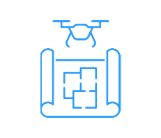
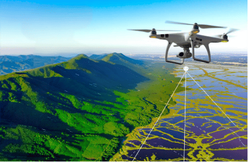
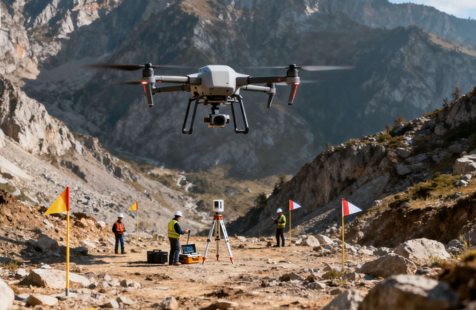
Topographic Survey Drones
Terrain surveying drones can easily reach some places that are difficult or dangerous for humans to access, greatly improving exploration efficiency, shortening the exploration cycle, reducing exploration costs, and reducing manpower input. They are widely used in many fields such as urban planning, land surveying, mine monitoring, river and coastline mapping, disaster assessment and rescue.
VastArrive Provide Strong Data Support in Topographic Survey
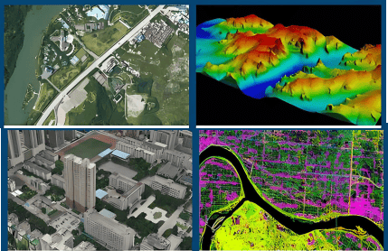
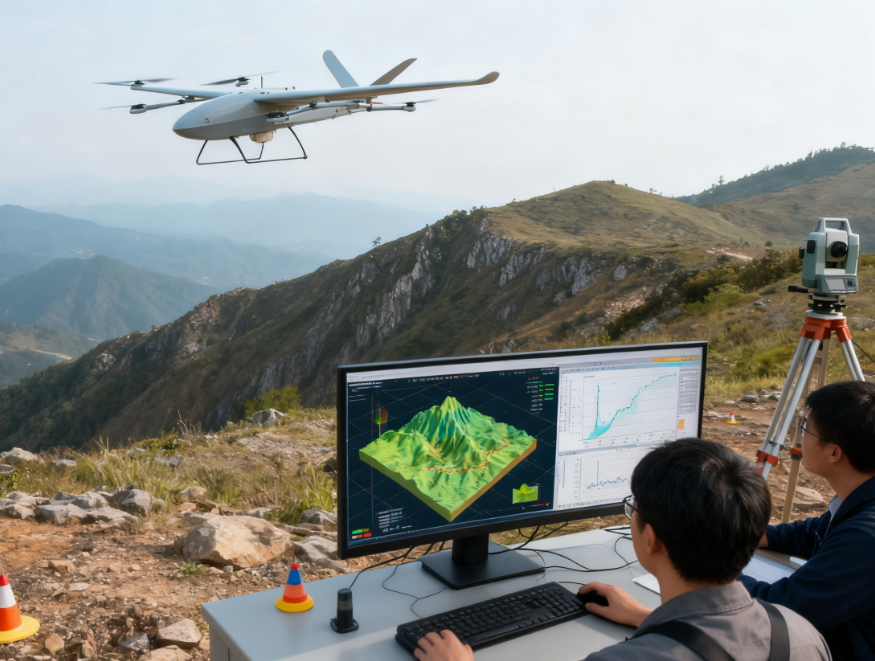
Drones capture detailed information such as the three-dimensional shape, texture, and height of the ground, and transmit it to a ground station or cloud server for further processing and analysis to generate high-precision topographic maps, three-dimensional models, and other results.

Mineral Exploration & Sample Transportation
Accurately grasp the topographical changes and volume calculations of the mining area, and regularly check the excavation progress and soil accumulation.

Geological Disaster Monitoring & Assessment
Inspect potential landslide and debris flow sites to provide early warnings; Acquire images of disaster areas to calculate the disaster area and impact range.
Topographic Mapping & Analysis
Rapidly acquire large-area terrain data, generate high-precision data models, and provide scientific basis for multiple fields.

Urban Planning & Construction
Provides accurate 3D city models to help planners better design roads, buildings, and green spaces.
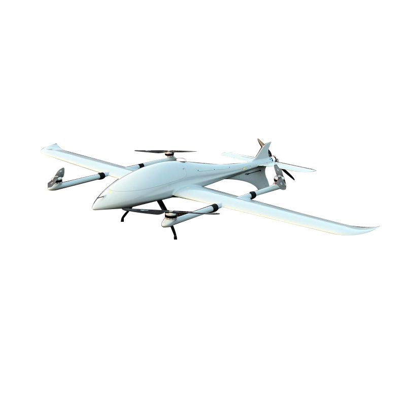
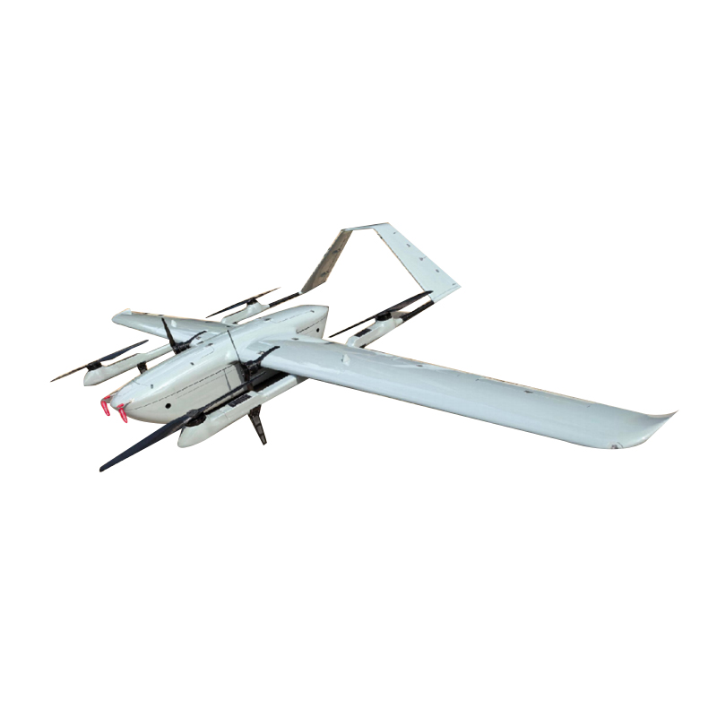
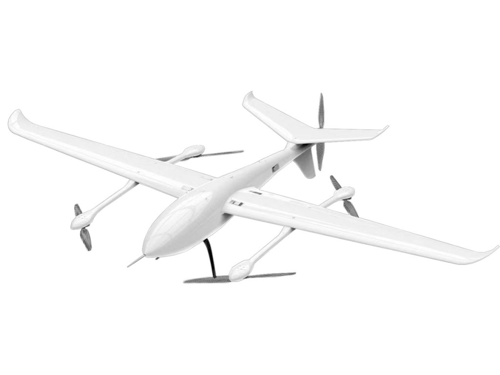
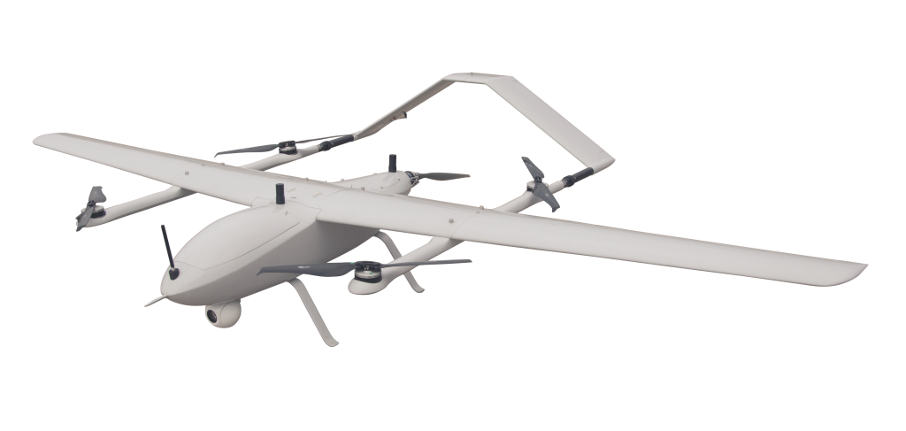
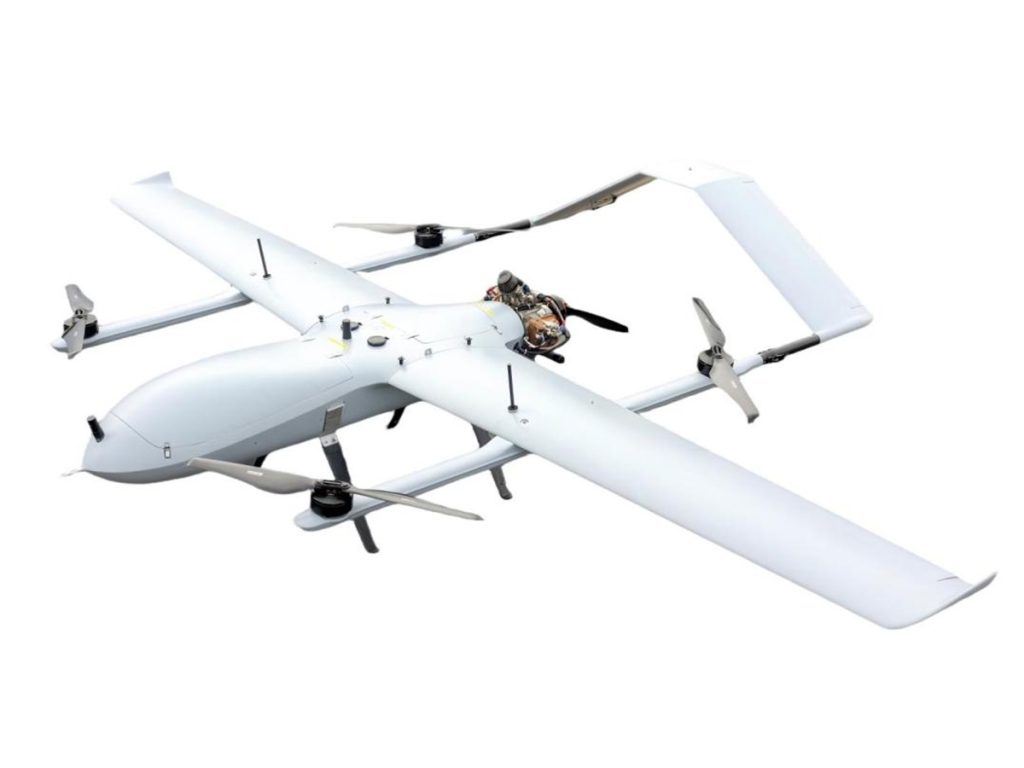
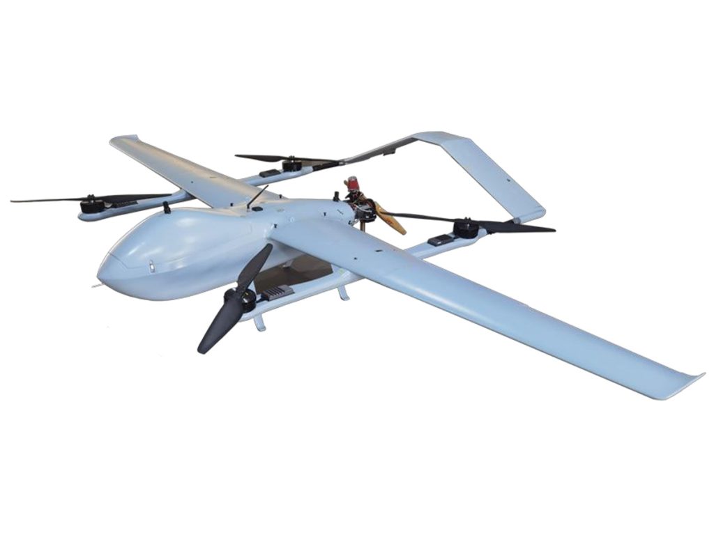
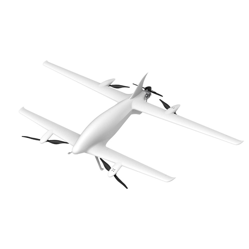
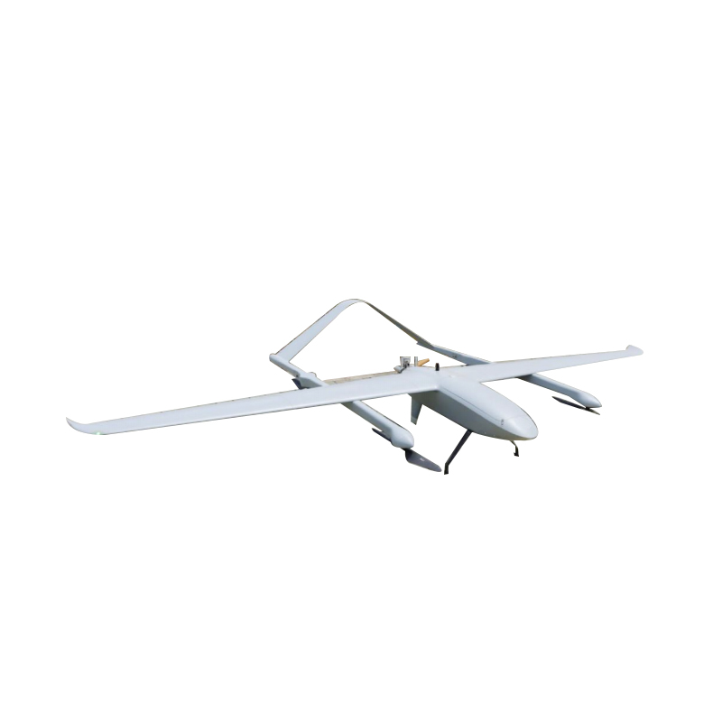
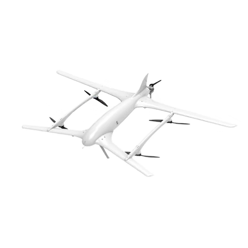
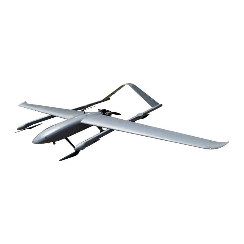
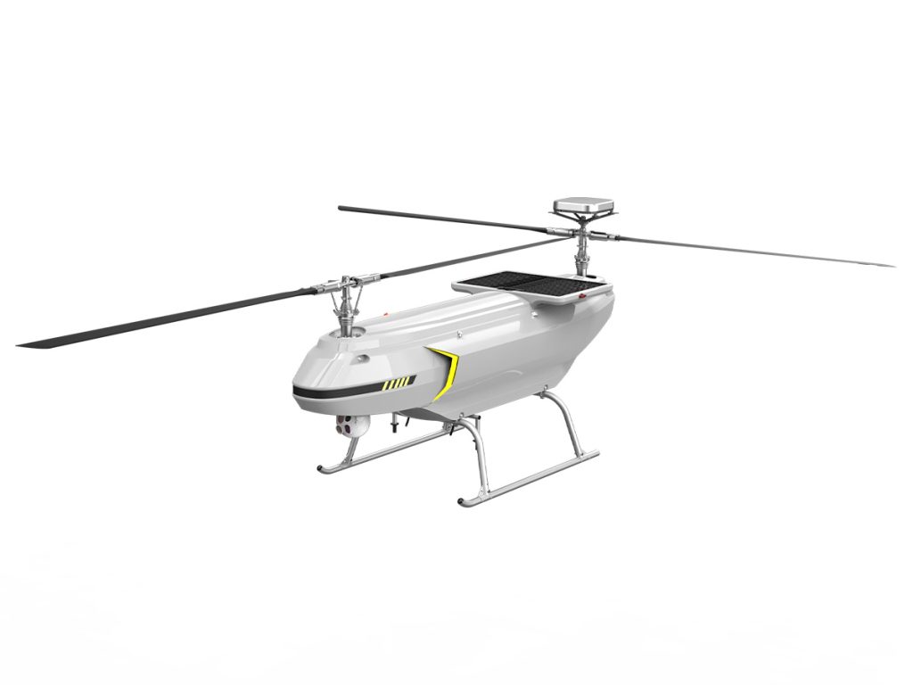
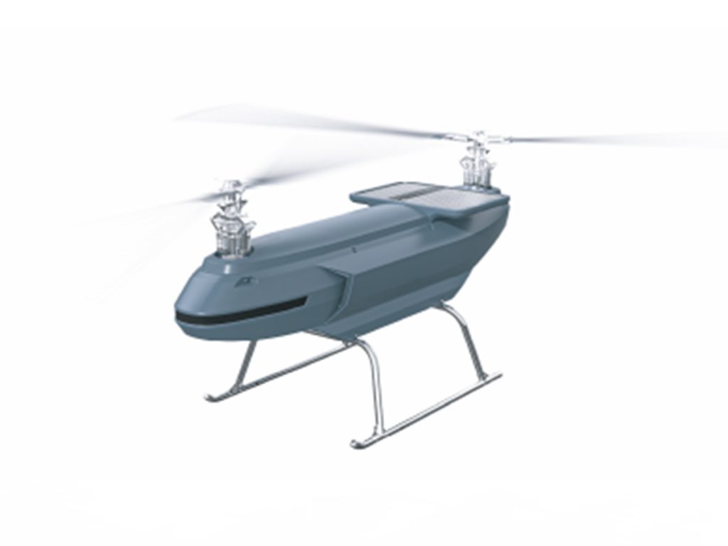
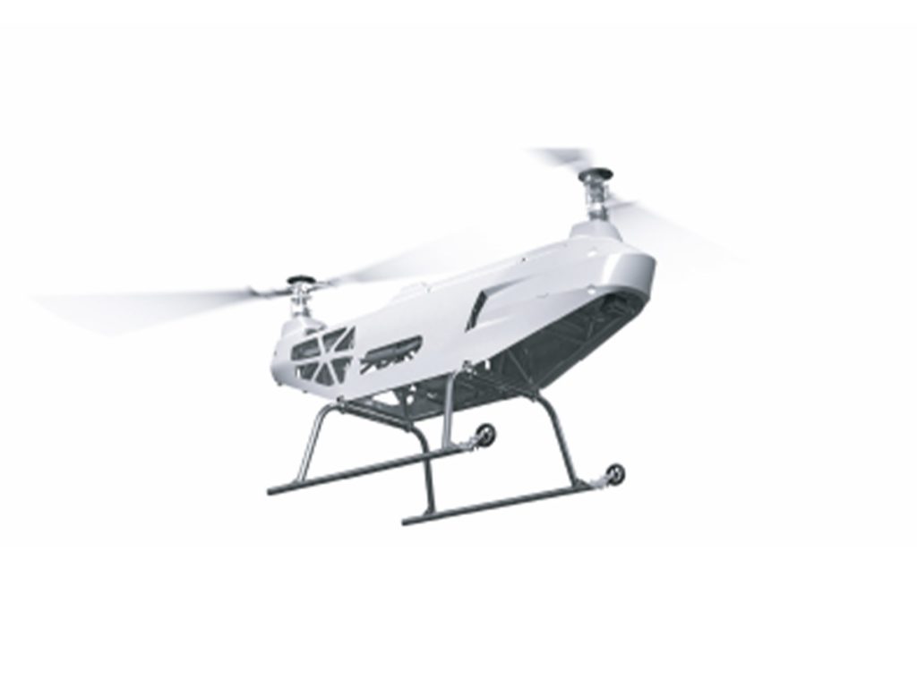
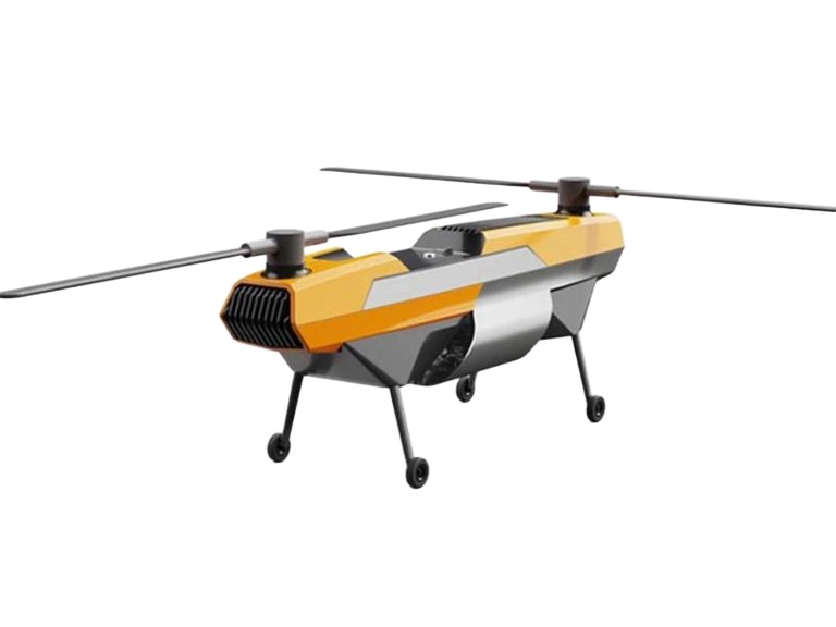
Best Drones for Topographic Surveying by VastArrive
Explore our top drone models designed for high-precision mapping and efficient land surveying.
Get the Drone That Meets Your Topographic Survey Needs
Key Features of VastArrive Drones for Topographic Survey
High-precision Data & High-resolution Images
Drones can carry high-precision sensors to accurately capture the three-dimensional coordinate information of the terrain, realize high-precision terrain data collection and take clear terrain photos for the production of high-precision terrain maps, 3D models, etc., providing strong support for terrain analysis and planning.
High Efficiency & Flexibility
Compared with traditional terrain exploration methods, drones can be quickly deployed to hard-to-reach or dangerous areas, such as mountains, swamps or disaster areas, and complete large-scale terrain exploration tasks in a short time. At the same time, they can carry multiple sensors to provide more comprehensive terrain information and meet different exploration needs.
Automation & Intelligence
With the development of artificial intelligence and automation technologies, the automation and intelligence levels of UAV terrain surveying are constantly improving. UAVs can autonomously plan survey routes, avoid obstacles, and land, greatly reducing the workload of survey personnel and improving the accuracy and safety of surveys.

Cost-effectiveness
Compared to traditional terrain exploration methods, UAV terrain exploration is much more cost-effective. It does not require a large investment of manpower, resources, and time, while providing high-quality terrain data, demonstrating a significant cost-effectiveness advantage.
Real Survey Success Stories with VastArrive Drones
Explore real cases where VastArrive drones delivered faster, safer, and more accurate surveying results.
More Drone Solutions from VastArrive
VastArrive drones cover multiple industries, meeting diverse needs and unlocking new possibilities.
FAQs about Drone Topographic Survey
Contact for More Information
Focus on quickly responding to your needs and customizing exclusive services from a professional perspective