Drones for Environmental Monitoring

Environmental monitoring drones have become an important tool for acquiring environmental data, assessing trends, and supporting governance decisions. Their high-altitude perspective, maneuverability, and autonomous inspection capabilities effectively address challenges such as wide inspection areas, difficulty in monitoring illegal emissions at night, and the need for timely response to emergency events.

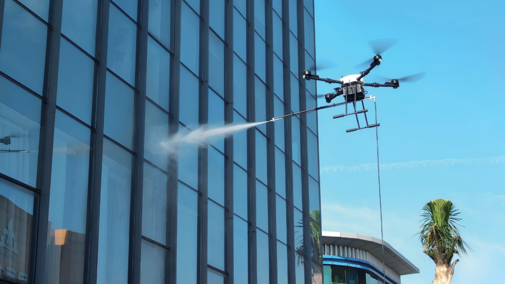
VastArrive UAV : From “Reactive Response” to “Proactive Prevention”

With their advantages of flexibility, efficiency, and wide coverage, drones play a vital role in environmental monitoring, including air pollution monitoring, water quality monitoring, and solid waste inspection, enabling proactive prevention of environmental problems.

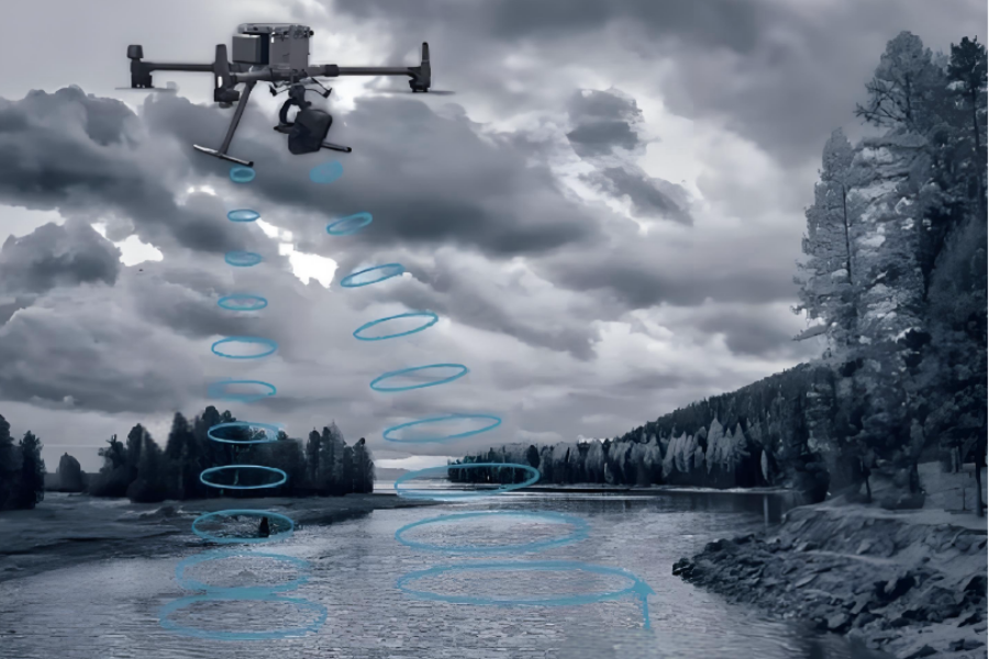
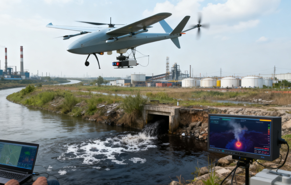
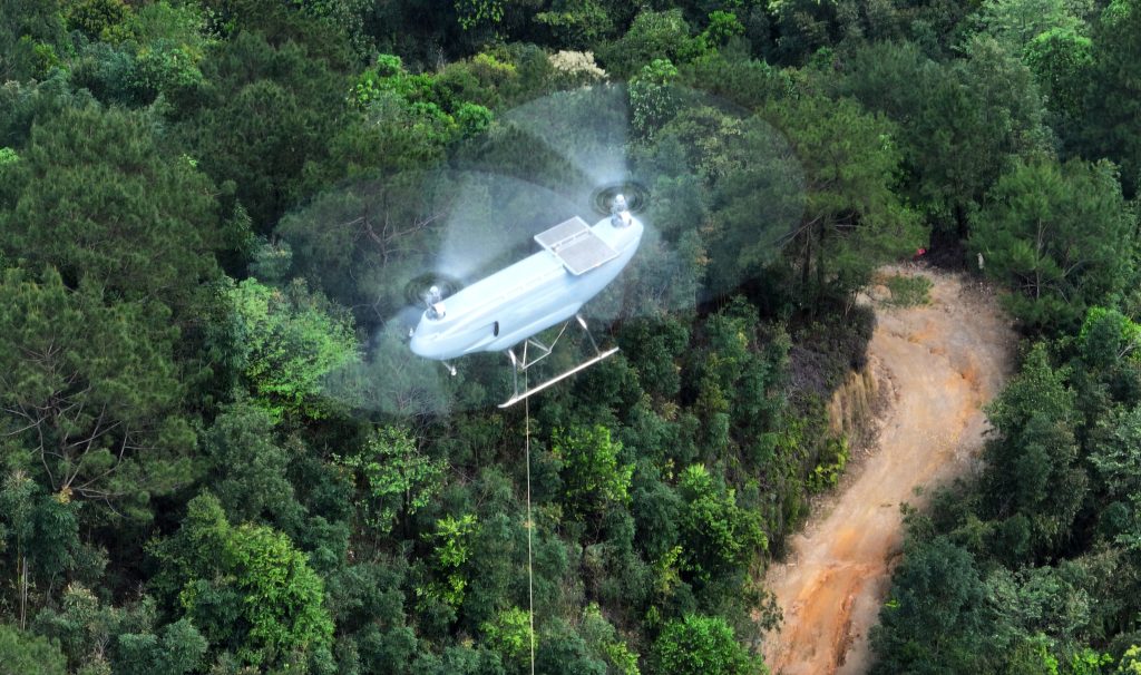
Pollution Source Investigation & Monitoring

Quickly locate illegal sewage outlets and straw burning sites, and monitor the gas diffusion range in real time.

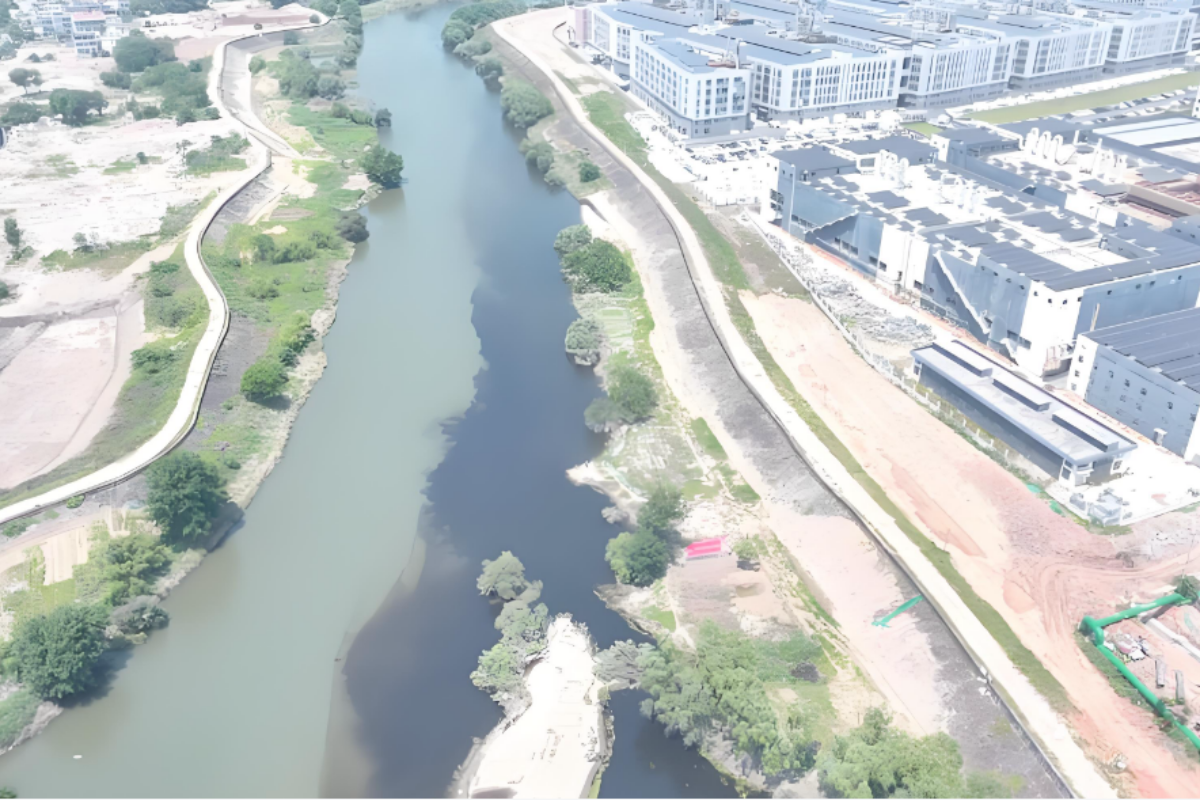
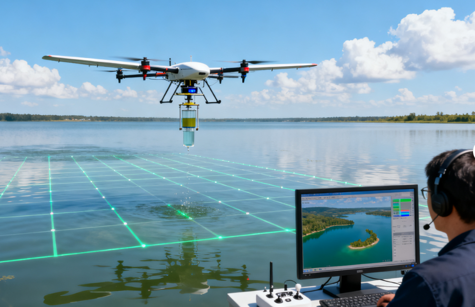
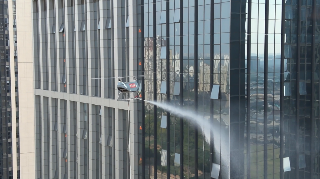
Water Quality & Air Monitoring

Identify pollution sources accurately, assess concentration and diffusion trends, collect samples, and transmit data back.

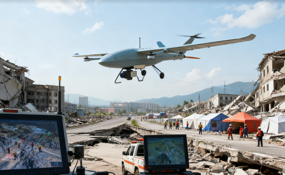
Disaster Assessment & Monitoring

Rapidly assess the extent of environmental damage after earthquakes and floods to support the development of restoration plans.

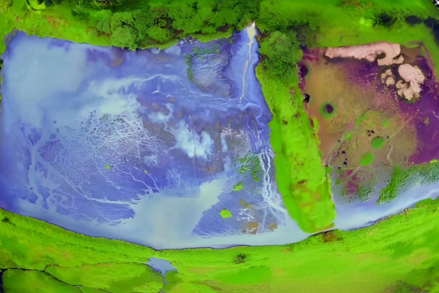
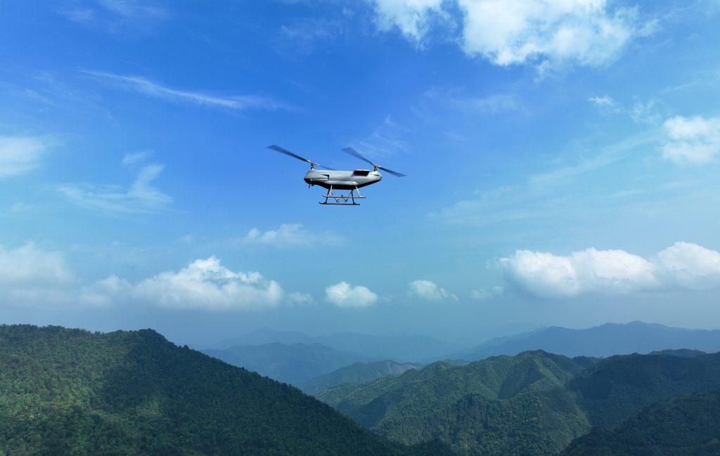
Ecological Assessment

Assess the health status of forests and grasslands using parameters such as vegetation cover and biomass.
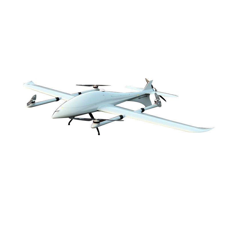
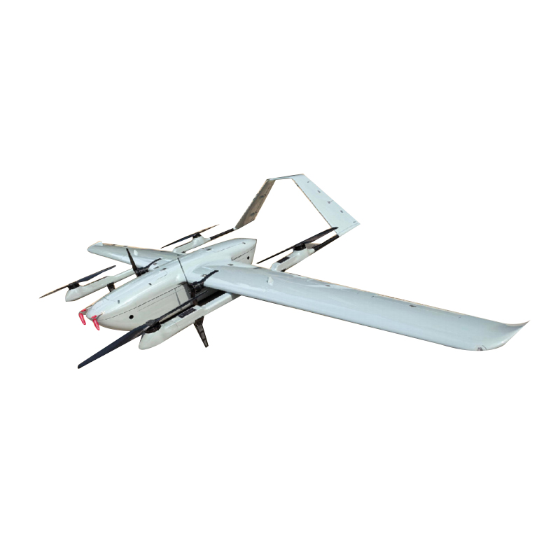
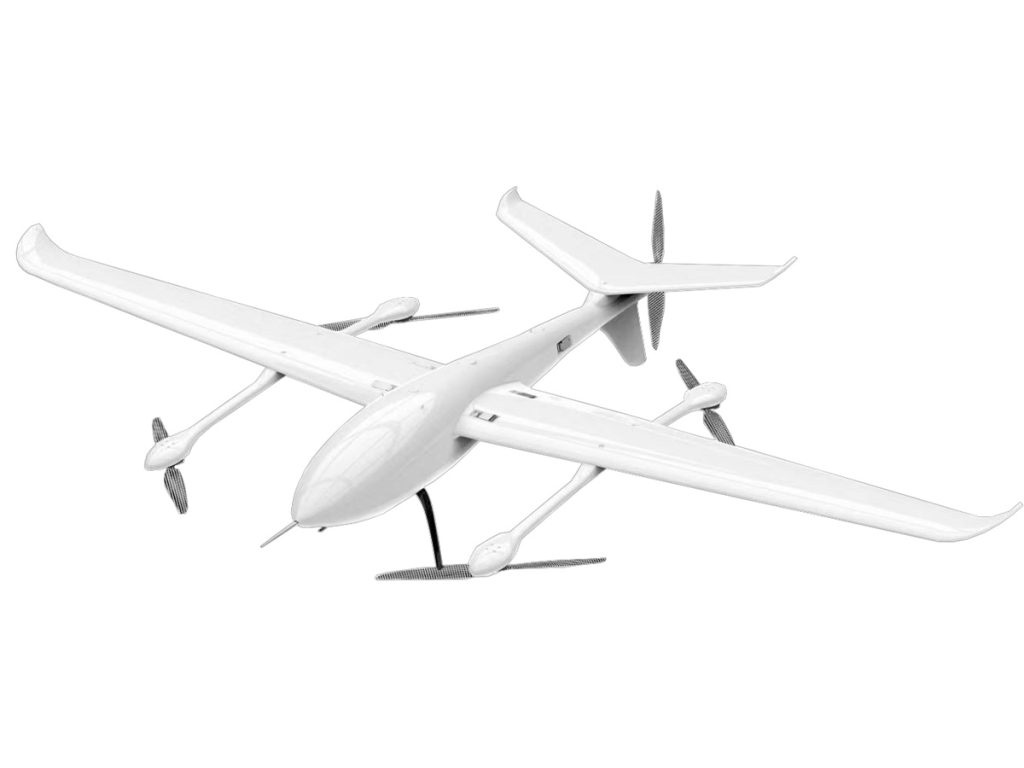
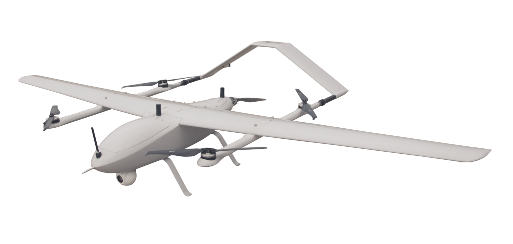
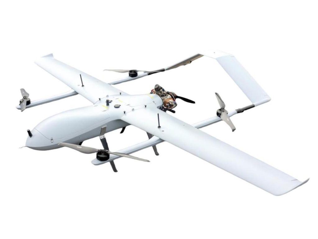
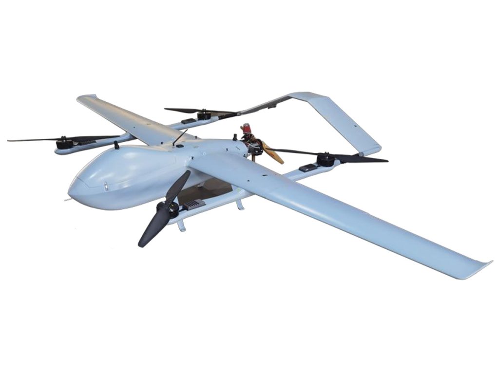
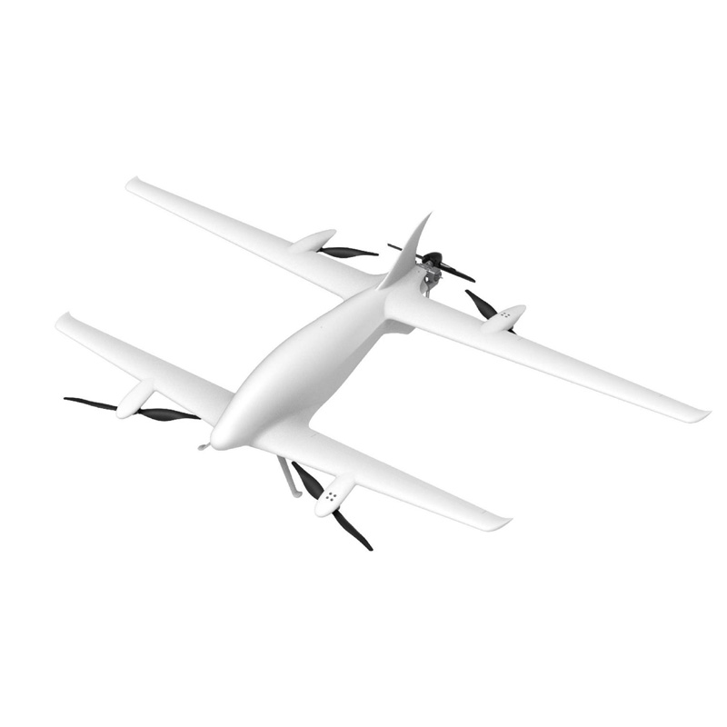
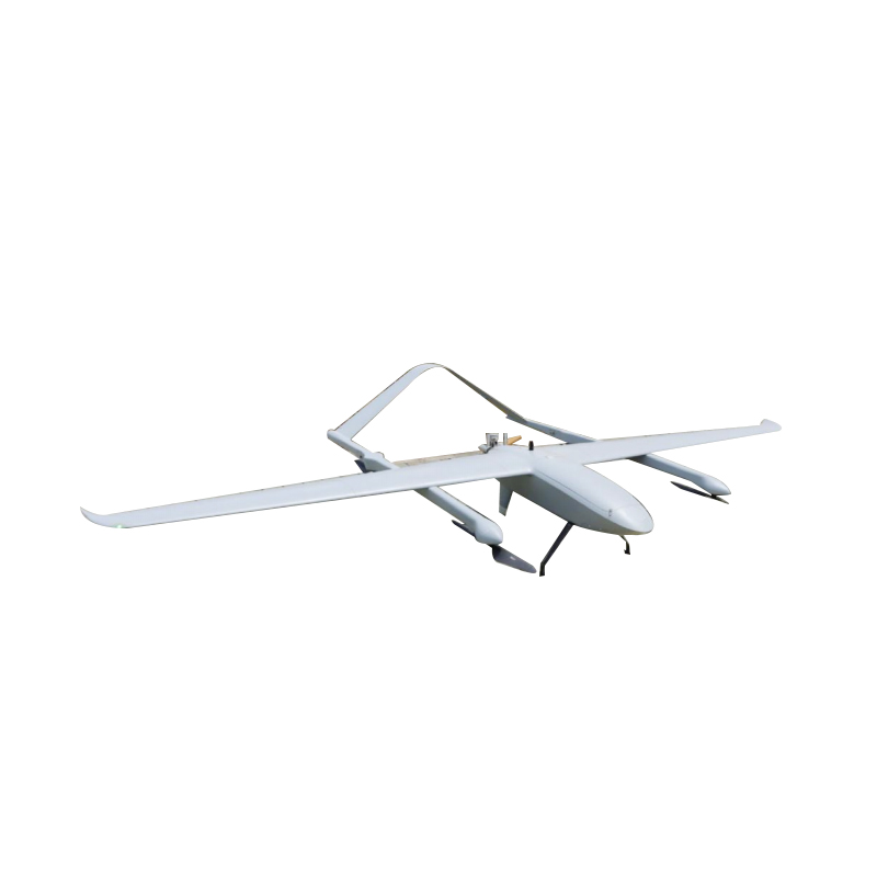
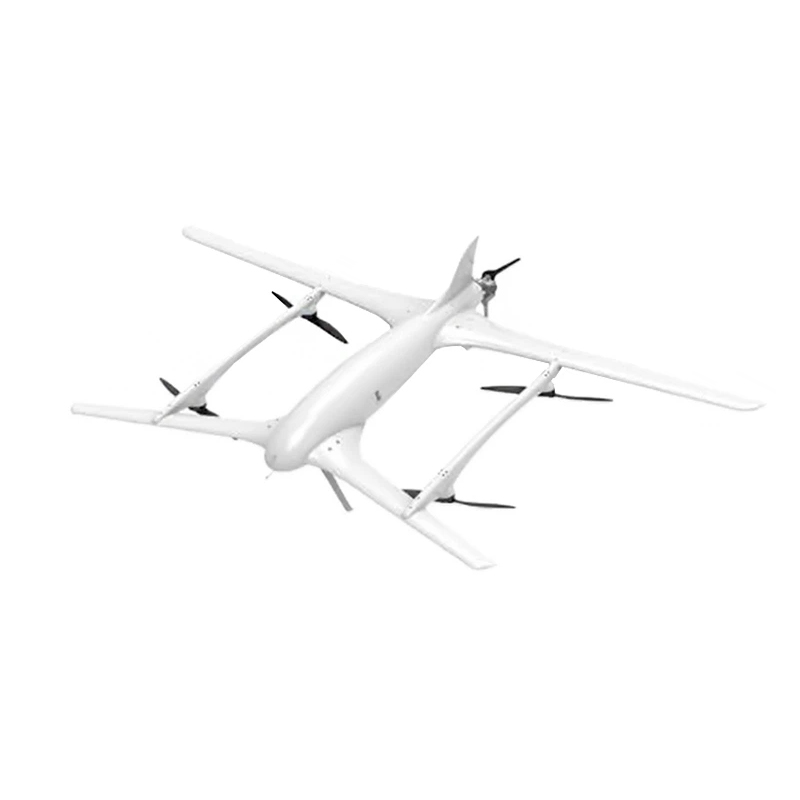
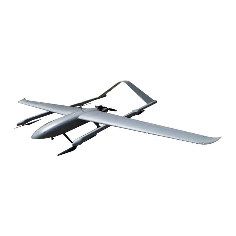
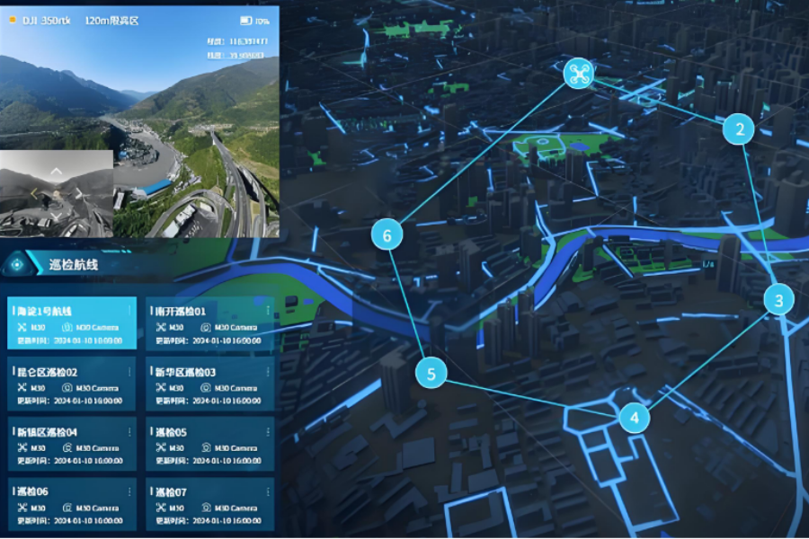
Want to make environmental monitoring smarter and easier?

Key Features of VastArrive Drones for Environmental Monitoring

High Efficiency

Quickly respond to environmental monitoring needs (such as sudden pollution incidents and large-scale regional surveys). Through automated flight and data collection, they can significantly reduce the time and manpower costs of traditional manual monitoring, achieving “rapid response + efficient operation”.

Flexibility

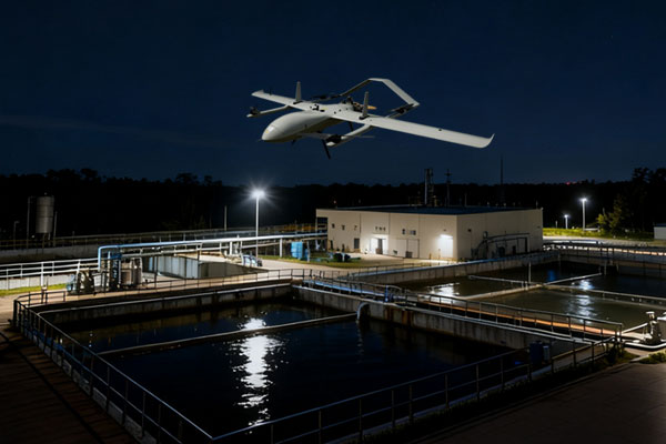
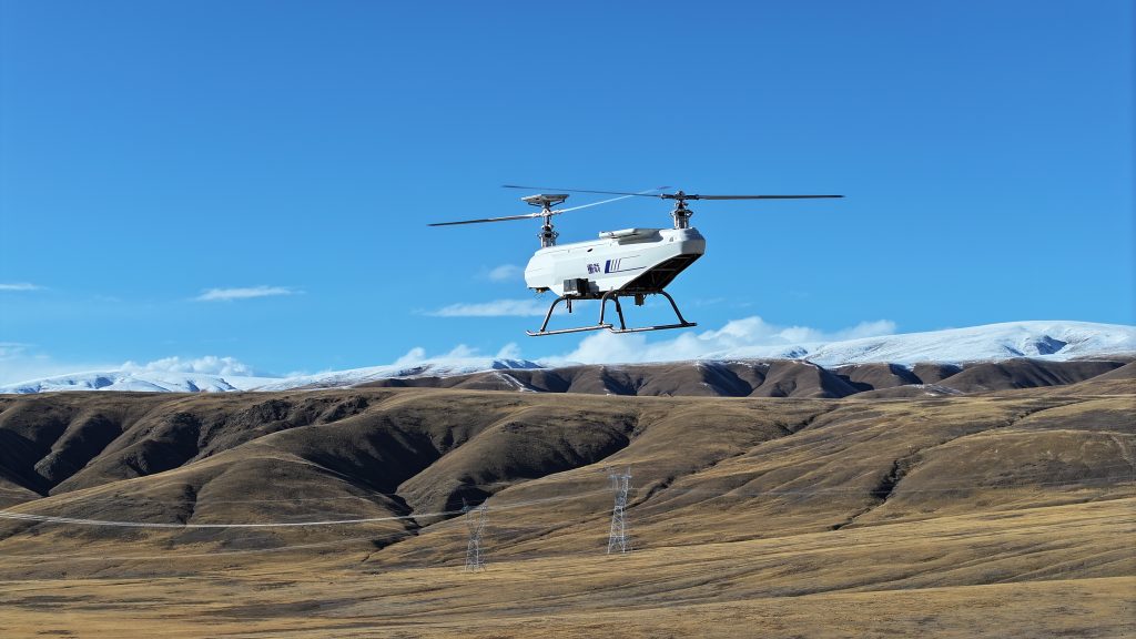
Adapt to complex terrain (such as mountains, water areas, and deserts) and extreme environments (such as high temperature, high humidity, and strong winds), overcome the physical limitations of manual monitoring (such as remote areas that are difficult to reach, and high-altitude/deep-water areas), and flexibly carry out monitoring tasks in scenarios where “humans and vehicles cannot reach”.

Accuracy

Equipped with multiple types of sensors (such as gas sensors, water quality analyzers, hyperspectral cameras) and high-definition cameras, it can accurately collect environmental parameters (such as pollutant concentration, water composition, and soil composition) and image data, providing “high-precision + multi-dimensional” data support for environmental assessment.

Coverage Breadth

A single flight can cover tens of square kilometers or even a larger area, breaking through the limitations of traditional ground stations’ “point-like monitoring” and achieving “regional + full-area” monitoring coverage, providing global data support for large-scale environmental governance.

Discover Additional Solutions with VastArrive Drones

VastArrive drones cover multiple industries, meeting diverse needs and unlocking new possibilities.

FAQs about Drones for Environment

Please contact us immediately to confirm your drone application scenarios and requirements. We will customize a drone application solution to meet your needs:

  •  Inquiry & Quotation
  •  Check Buyer Information
  •  Sign Contract & Arrange Deposit
  •  Apply for Export License
  •  Produce & Testing
  •  Balance Payment & Shipping
  •  Receiving & Training
  •  After-sales & Technical support
  1. Drones can take off and land vertically, hover, and reach deep into areas inaccessible to personnel, such as steep cliffs, uninhabited islands, and high-risk pollution zones, enabling all-terrain monitoring.
  2. For sudden pollution incidents or emergency monitoring, drones can quickly arrive at the scene, transmit data in real time, and generate high-resolution images, significantly shortening decision-making time.
  3. Equipped with lidar, multispectral cameras, gas sensors, and other equipment, drones can simultaneously acquire diverse data such as vegetation three-dimensional structure, atmospheric pollutant concentrations, and water quality parameters.
  4. Drone imaging resolution is superior to some satellites, and the drone can flexibly adjust the aerial shooting angle to generate orthophotos, panoramic images, etc., providing intuitive evidence for pollution source tracing and ecological assessment.
  5. In dangerous environments such as toxic gas leaks and natural disaster sites, drones can replace manual sampling and surveying, ensuring the safety of monitoring personnel.
  6. The deployment cost of drones is lower than that of helicopters or ships, and the operating threshold is low, allowing for the training of a large number of pilots in a short period of time, making them suitable for large-scale applications.
  1. Equipment Inspection: Confirm the drone fuselage is undamaged, battery level is ≥80%, sensors (such as gas detectors) are securely installed, and the IMU and GPS modules need to be calibrated.
  2. Environmental Assessment: Avoid obstacles such as high-voltage lines and tall buildings; choose weather conditions with wind speed ≤3 and visibility ≥5 km.
  3. Flight Planning: Set the flight altitude (50-200 meters) and flight path spacing (10-20 meters) according to the distribution of monitoring points, and mark no-fly zones.
  4. Real-time Monitoring: Transmit data back in real time via a data transmission link; initiate autonomous return immediately upon signal loss.
  5. Emergency Handling: Return to base when battery level is below 20%; land immediately in case of sudden weather (such as thunderstorms).
  6. Hazardous Area Operations: An emergency parachute is required; operators must wear protective clothing and goggles.

Pollution Source Investigation

  • Air Pollution Monitoring: Equipped with gas sensors (such as PM2.5, SO2, NO2 modules), multispectral analyzers, and high-definition cameras for real-time data acquisition and pollution source tracing.
  • Water Pollution Monitoring: Equipped with water samplers, high-definition cameras, and multispectral sensors for investigating illegal discharge outlets and monitoring water quality parameters (such as turbidity and dissolved oxygen).

Ecological Protection

  • Vegetation Cover Assessment: Utilizes hyperspectral cameras and LiDAR to support forest cover, growth status, and degradation analysis.
  • Wildlife Monitoring: Equipped with infrared thermal imagers and night vision cameras, combined with AI recognition technology to track endangered species activities.

Disaster Emergency Response

  • Topographic Mapping and Life Detection: Employs LiDAR. (LiDAR), Synthetic Aperture Radar (SAR), penetrating vegetation or ruins for 3D modeling and locating signs of life.
  • Post-disaster environmental assessment: using visible light cameras (4K/8K) and infrared thermal imagers for rapid assessment of damage.

Solid waste management

  • Hidden area investigation: equipped with high-definition cameras and multispectral sensors to accurately identify the types and extent of illegally dumped materials.

Dust monitoring

  • Air quality and particulate matter monitoring: equipped with gas sensors and visible light cameras to monitor dust diffusion and pollution sources in real time.

Contact for More Informations

Focus on quickly responding to your needs and customizing exclusive services from a professional perspective

Please tell us your detailed needs for drones, and our experts will contact you to answer your questions.

+86 17708348540

+86 17708348540

[email protected]

Vast Arrive

Homepage: www.vastarrive.com; www.drawell.cn.