Drone Magnetic Survey Accelerates Geological Structure Identification
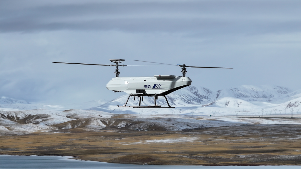
Conventional magnetic survey methods in Xinjiang’s high-altitude mining areas (1200-1890 meters) are inefficient and costly. Therefore, a drone aeromagnetic system is used to lay out survey lines at 100-meter intervals, combined with ground-to-air electromagnetic detection technology, to participate in metal mining projects.
Effects:
Data collection along a 19-kilometer survey line was completed in 21 days, enabling rapid identification of ore structures and fault zones, reducing construction time by 60% and providing precise targets for subsequent drilling.