Key Factors and Optimization Methods Affecting the Accuracy of UAV Topographic Surveying
With the digital upgrade of the surveying and mapping industry, UAV topographic surveying is gradually replacing traditional surveying methods. Compared to total stations or manual surveying, UAVs can quickly acquire large-scale topographic data and generate high-precision DEMs, DSMs, and orthophotos.
However, many people believe that simply choosing the right UAV guarantees high-precision surveying. In fact, extensive engineering practice shows that the core of surveying accuracy does not depend on the type of UAV, but rather on the design of the entire data acquisition and processing workflow.
The Essence of Drone Topographic Survey
The core objective of drone topographic survey is to transform two-dimensional images into a three-dimensional spatial model. This process requires designing the UAV’s flight path and combining image overlap control, GNSS positioning systems, ground control points, and 3D reconstruction algorithms.
Research indicates that, under standardized operating conditions, UAV surveying can achieve a horizontal accuracy of approximately 2–5 cm, meeting the needs of most engineering surveying projects. Therefore, the value of UAV surveying lies in the “data link,” not the equipment itself.
Why Do Surveying Errors Exist?
Based on numerous real-world project case studies, we have summarized four issues affecting UAV mapping results:
1. GNSS Positioning Error
Even using RTK or PPK systems, centimeter- to meter-level errors can still occur if satellite signals are unstable or base station configurations are inadequate.
RTK relies on real-time communication; once the signal is interrupted, errors accumulate rapidly. While PPK can be corrected through post-processing, it is still affected by flight quality.
2. Inadequate GCP Deployment
Ground control points are a key factor affecting the absolute accuracy of the model. Uneven distribution or insufficient number of GCP can lead to high accuracy in local areas and “drift” in the overall model. Our past client experience indicates that missing GCP are one of the most common causes of mapping failures.
3. Inadequate Flight Path Planning
Many mapping errors are caused by inadequate flight strategy planning, not by the UAV itself.
Excessive flight altitude increases the GSD (Global Scaling Distance) and leads to loss of detail; insufficient overlap results in unstable image matching; and a single flight path can cause incomplete 3D structure reconstruction. In other words, flight design is fundamental to data quality.
4. Errors in Data Processing Stage
In the photogrammetry workflow, errors in feature point matching, camera calibration deviations, and point cloud reconstruction errors all contribute to deviations in the final DEM (Digital Image Model). In many projects, data processing accounts for more than 50% of the overall error sources.
Methods to Optimize the Accuracy of UAV Topographic Surveying
According to the UAV topographic surveying accuracy guidelines published by ASPRS in the United States, and based on our clients’ engineering practices in actual projects, the key factors affecting the accuracy of the final results are mainly concentrated in three areas: image acquisition, positioning and control, and data modeling.
Therefore, the core of improving the accuracy of UAV topographic surveying is not “better drones,” but “more scientific surveying process design.”
1. Optimize Spatial Resolution
In engineering practice, Ground Scaling (GSD) is positively correlated with flight altitude: the higher the flight altitude, the larger the ground area covered by a single pixel, and the more significant the loss of model detail.
Industry standards generally recommend that high-precision terrain surveying prioritize controlling GSD within the range of 2–5 cm, while for routine terrain modeling, GSD can be relaxed to 5–10 cm.
Therefore, optimizing GSD is not essentially about “reducing flight altitude,” but rather about working backward from the target accuracy to deduce flight parameters and establishing an engineering balance between efficiency and accuracy.
2. Improve Image Overlap Rate
Image overlap rate is a key factor in the stability of SfM (Structure from Motion) 3D reconstruction, as it determines feature matching density and geometric redundancy between images. Insufficient overlap can lead to point cloud fragmentation, local model collapse, or edge deformation, especially in mountainous or highly occluded urban areas.
From an engineering perspective, overlap should be treated as a spatial sampling design rather than a fixed percentage. Standard mapping tasks typically require ≥80% forward overlap and ≥70% side overlap, while high-precision or complex terrain surveys may increase this to around 85%/75% to improve model stability.
In complex terrain, single grid flight plans are often insufficient. Cross-grid or multi-directional flight strategies are recommended to ensure full multi-view coverage and reduce reconstruction gaps. Overall, overlap settings should be dynamically adjusted based on terrain conditions to maintain consistent 3D reconstruction quality.
3. Adjust GNSS Positioning Method
GNSS positioning accuracy is one of the core factors affecting the “absolute coordinate accuracy” of surveying and mapping results.
RTK is suitable for real-time high-precision positioning, but it is highly dependent on communication stability; PPK optimizes the trajectory through post-processing, making it more stable in complex environments; GCP remains the most reliable method for ensuring the global accuracy of the model.
In high-precision engineering projects (such as mining area surveying or infrastructure modeling), the industry generally adopts a combined strategy of “RTK + PPK + GCP” to reduce systematic errors and cumulative drift.
This combined approach is also recommended as a workflow by many companies.
4. Plan Flight Routes Rationally
According to Esri and USGS’s findings in the UAS topographic mapping study, topographic complexity is an important external variable affecting mapping errors, especially in areas with significant elevation changes or severe obstruction.
| Terrain Type | Main Challenge | Typical Error Source | Recommended Flight Strategy | Optimization Focus |
| Plain Areas | Low terrain variation | GNSS drift, flight parameter deviations | High-efficiency grid mapping | Optimize efficiency while maintaining standard overlap |
| Urban Areas | Building occlusion and complex structures | Feature point loss due to occlusion | Increase overlap rate and use multi-directional flights | Enhance multi-view coverage and reduce blind spots |
| Mountainous Areas | Significant elevation changes | Model distortion and height reconstruction errors | Layered flight planning + increased GCP density | Improve vertical accuracy and geometric stability |
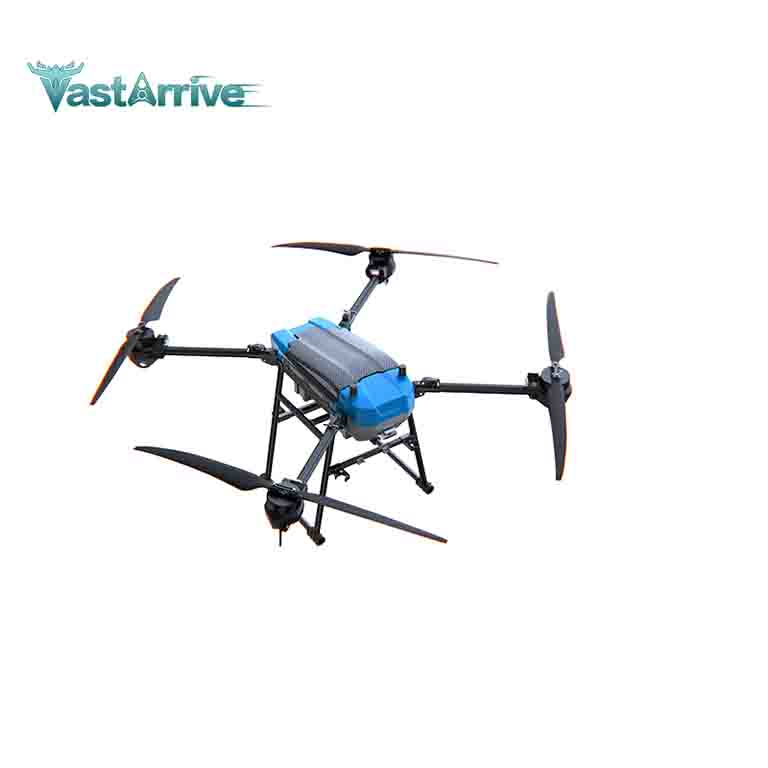
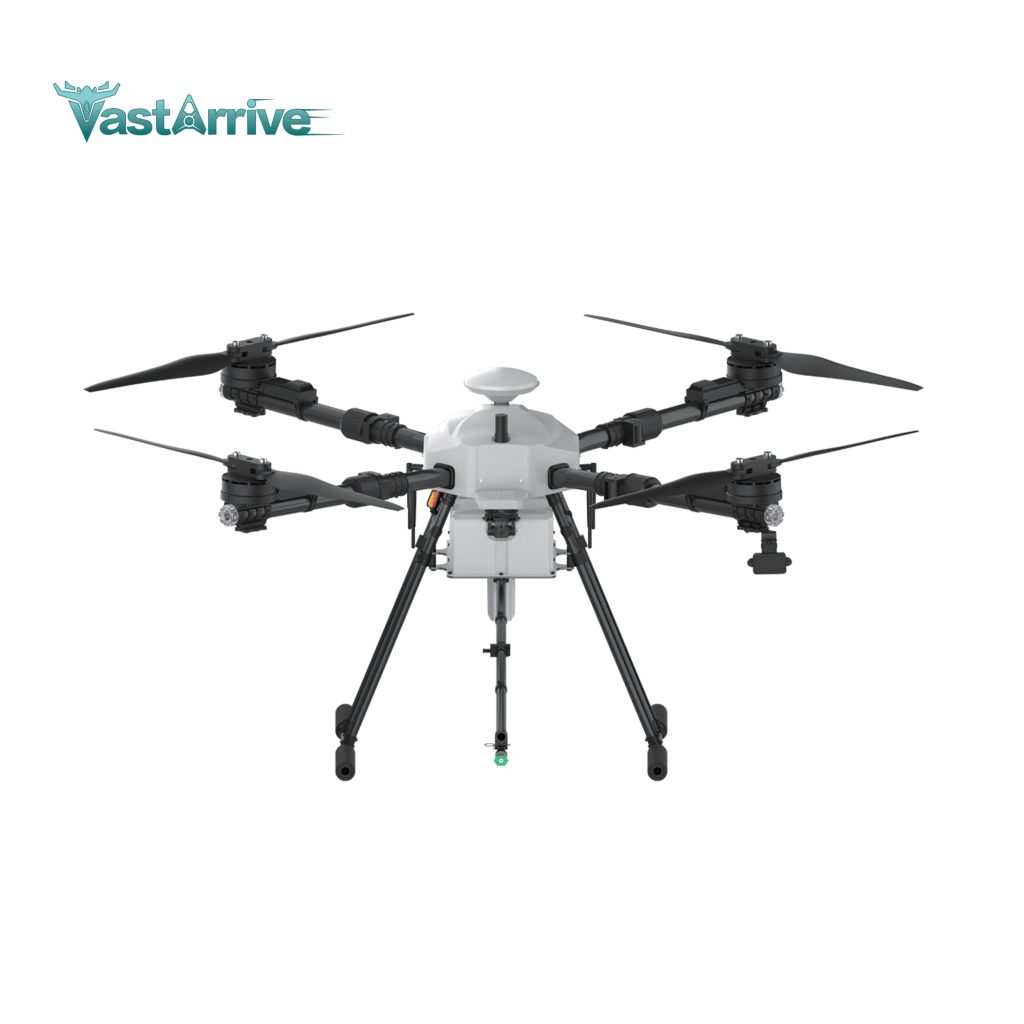
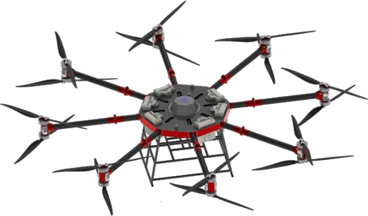
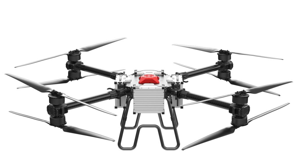
Related Products