
The VA-FPVD13 is a high-speed, multi-purpose drone suitable for inspection, search and rescue, aerial mapping, and security reconnaissance, etc.
Product Overview
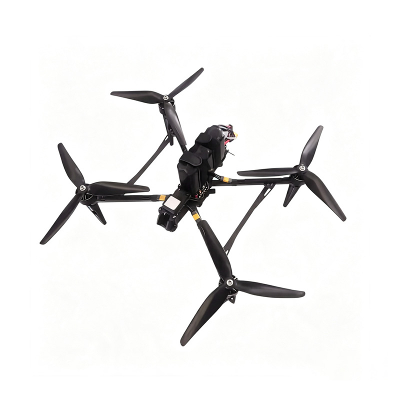
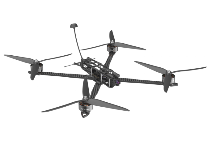
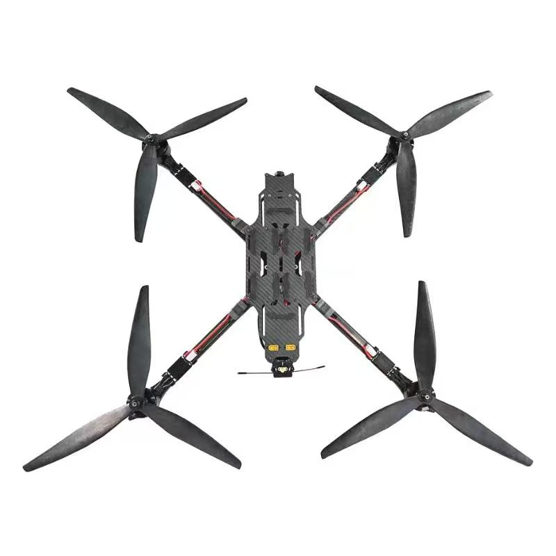
Key Features
Long-Distance Flight
8S large-capacity battery, 10-30km long-distance cruising for a single trip, suitable for long-distance aerial photography and exploration in mountainous areas and along coastlines.
Long-Term Space Station Observation
Hovering without a load for more than half an hour to observe reservoirs, construction sites, and outdoor areas.
High-altitude Flight
The lift is sufficient, enabling it to be used for operations in plateau and mountainous areas. However, small-sized drones are prone to insufficient power.
Application Solution
Full-Spectrum Industrial Heavy-Duty Inspection
1. Power / Energy Inspection
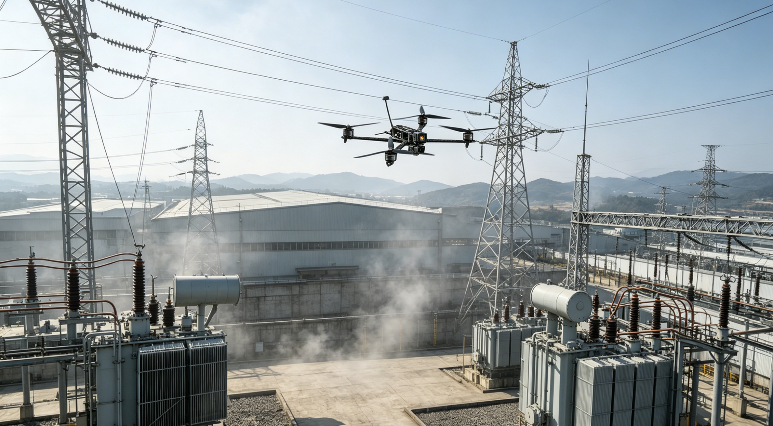
High-voltage power transmission lines in mountainous terrain: Capture close-up images of broken conductor strands and damaged insulators while traversing canyons, dense forests, and tight spaces between transmission towers; conduct comprehensive inspections of wind turbine blades and solar power plants, with optional thermal imaging for temperature measurement to identify overheating faults; perform rapid endoscopic inspections of narrow gaps between equipment in substations.
2. Bridge, Infrastructure, and Tunnel Inspection
High-definition close-up imaging of bridge undersides, gaps in steel beams, and cracks in bridge piers;
Continuous inspection of long tunnels, underground utility tunnels, and culverts, equipped with gas sensors and thermal imaging for leak detection and seepage measurement.
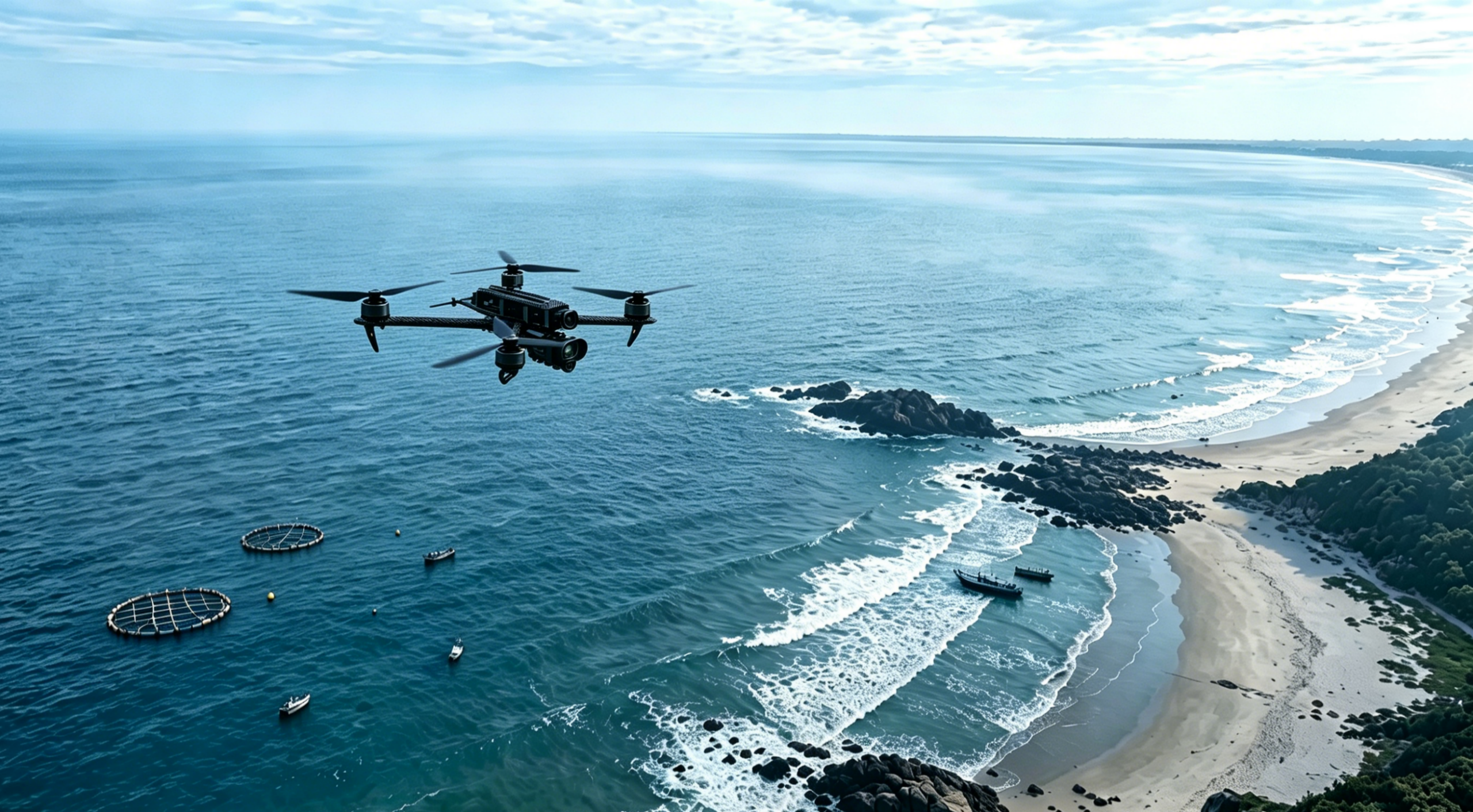
Long-Range Flight
1. Large-Scale Patrols of Waterways, Mountainous Areas, Forests, and Coastlines
A single flight covers several square kilometers, inspecting river embankments, potential landslide hazards, and forest fires;
Nighttime thermal imaging patrols to detect hidden fire sources and human traces from a distance.
2. Surveying and Geographical Reconnaissance
Equipped with lightweight LiDAR and full-frame surveying cameras for rapid 3D modeling of mountainous areas, wastelands, and mining sites;
Compared to fixed-wing survey aircraft, the 13-inch model can fly low to the ground, providing higher-precision data in complex terrain.
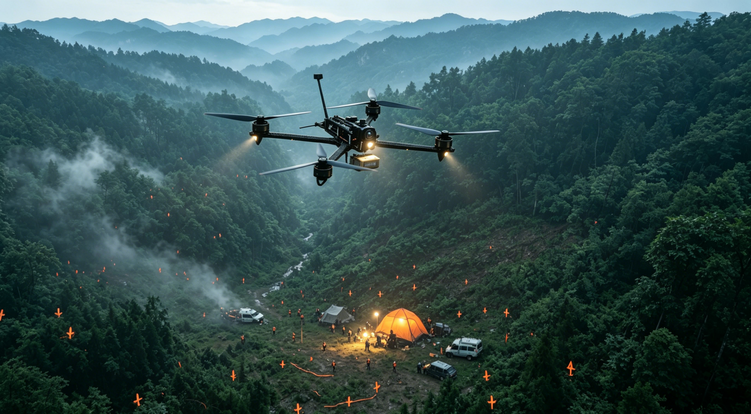
Emergency Search and Rescue, Disaster Relief Reconnaissance
1. Search and rescue in post-disaster rubble and mountainous areas
In areas inaccessible to vehicles after earthquakes, floods, or landslides, the drone can be quickly deployed for takeoff and use thermal imaging to search for survivors from a distance;
2. Small-scale supply delivery
Capable of dropping first-aid kits, ropes, drinking water, and communication relay equipment, making it suitable for resupplying people stranded on isolated islands or in areas with blocked roads;
3. Fire reconnaissance
Penetrates dense forests to reach deep within fire zones, monitoring fire spread and hidden hotspots to mitigate risks to firefighters;
4. Urban incident reconnaissance
Rapidly assesses conditions inside large industrial complexes and building fire scenes.

Large-Scale Agricultural and Forestry Operations
1. Patrols of Large-Scale Orchards and Forests
Navigates through gaps between fruit trees and forest stands to conduct comprehensive inspections for pests and diseases, fruit set, and fallen trees;
2. Scientific Monitoring of Wildlife
Low-speed, large-blade design reduces noise, enabling long-range thermal imaging observation of wildlife without disturbing animal herds.
Technical Parameters
| Parameter | Specification |
| Net Weight | 1980g |
| Rack | 13-inch rack |
| Wheelbase | 593mm |
| Dimensions | 489*489*80mm |
| Material | 3K T300 carbon fiber |
| Flight controller | 3F722 (optional) |
| Electric motor | 80A ESC 41N1 |
| Video transmitter | 3W video transmitter (optional) |
| Camera | 1800TVL night vision FPV camera (optional) |
| Motor | 4218 360KV |
| Propeller | 1310 (glass fiber nylon) |
| Recommended battery | X8S 16000 XT90 plug |
| Flight duration | 15–35 minutes |
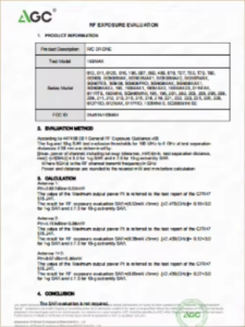
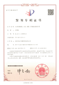
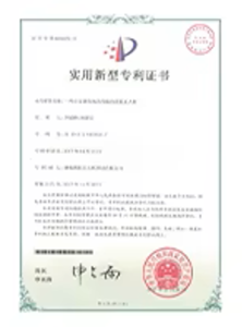
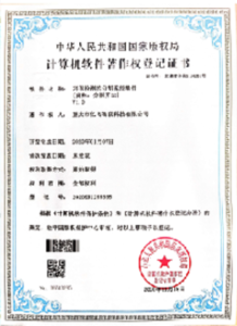
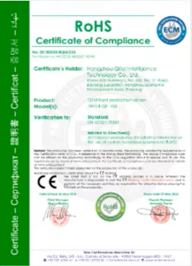
Certification
Professional Technical Support
We are committed to ensuring every customer receives timely and professional technical support. Our engineers can provide remote product installation guidance, software updates, and drone flight technical support. Customers can also arrange for in-person training at our factory.
Customizable for diverse application scenarios
Complete drone flight training
Online support from a team of professional after-sales engineers
Comprehensive IT documentation support
Regional distributor and partner support
Cooperation Process
Inquiry & Quotation
Check Buyer Information
Sign Contract
Arrange Deposit
Apply for Export License
Produce & Testing
Balance Payment
Safe Shipping
Receiving & Training
After-sales
Technical Support
Contact for More Information
Focus on quickly responding to your needs and customizing exclusive services from a professional perspective