Drone Aerial Surveying Technology is Reshaping Topographic Mapping in Mountainous Areas
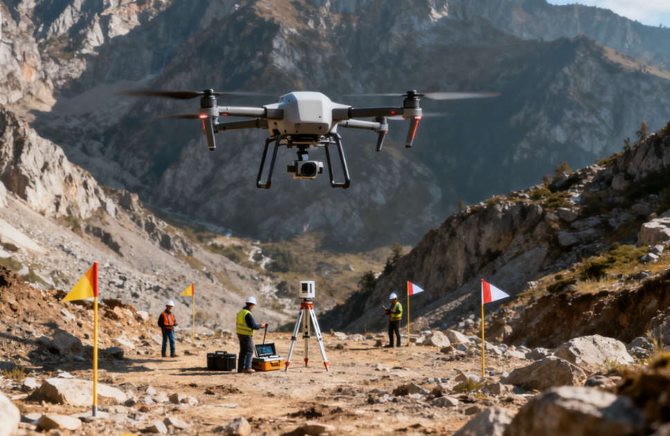
In the mountain highway route selection project, traditional manual surveying required a team of 20 people working for 3 months, and could only collect terrain data for 50 square kilometers, with blind spots in surveying such as steep slopes and canyons. In 2024, the project team introduced a multirotor UAV surveying system equipped with LiDAR and oblique photography equipment, launching an efficient ‘aerial surveying’ mode.