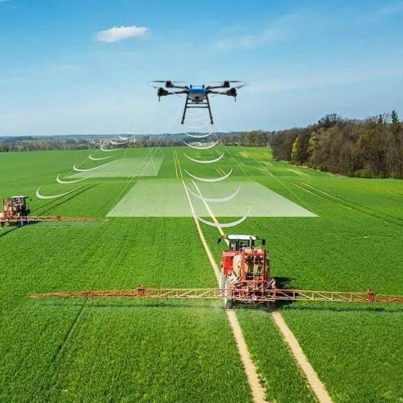
Drone Spectral Sampling Helps Enable Precise Fertilization
The drone collects 200 spectral data points per hectare along a preset flight path, converts them into soil nutrient index using the NDVI algorithm, and transmits the data synchronously to a cloud platform to generate a fertilization recommendation map. After adopting this technology at the client’s rice planting base, nitrogen fertilizer utilization increased by 32%, fertilizer input costs decreased by 18%, and dynamic management of arable land quality was achieved through long-term monitoring of soil data.