Revolution in the Efficiency and Benchmarking of Topographic Surveying for Railway Route Selection in Mountain Areas
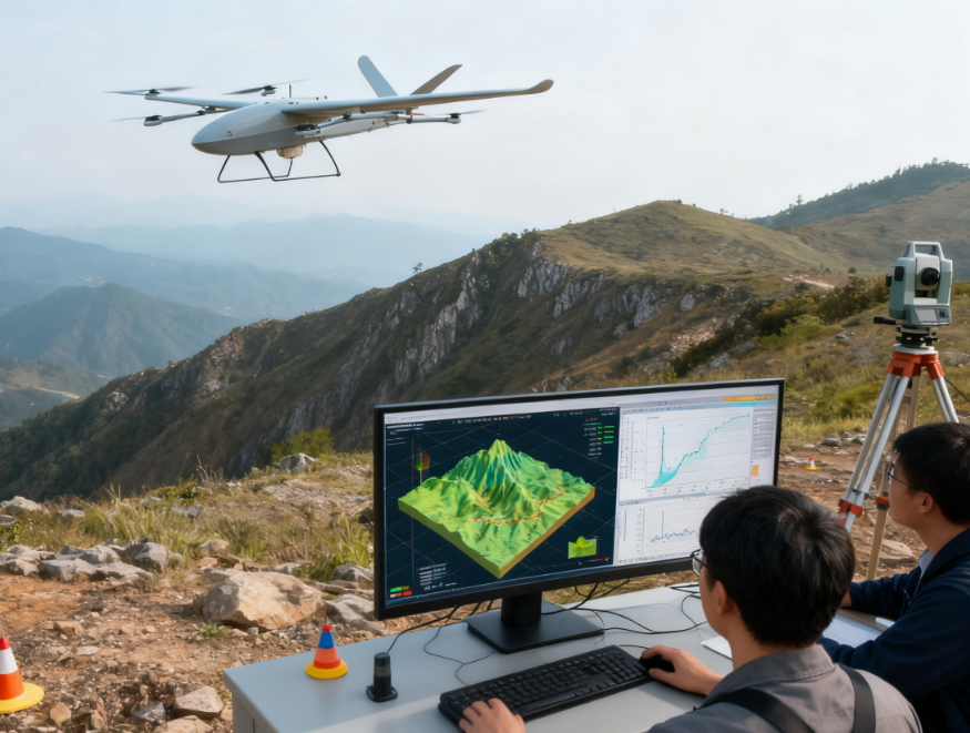
A railway route selection project in a mountainous area , which traditionally required 30 workers working for 4 months to survey only 60 square kilometers with blind spots. In 2024, vertical take-off and landing fixed-wing drones were introduced, equipped with LiDAR and oblique photography, completing the survey of 200 square kilometers in 3 days. This helped the design reduce bridge and tunnel works by 20%, saving 300 million yuan in investment, and shortened the project cycle to 1/20 of the traditional time, becoming a benchmark for surveying in mountainous engineering projects.