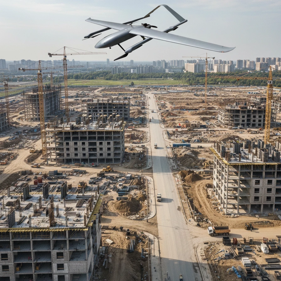
What Benefits Do Drones in the Construction Industry Really Offer
Due to the fast pace and increasing scale of current construction projects, it has become inefficient to depend on traditional management based on manual inspections, measurements, and unstructured reporting methods. It is a fact that currently, drones in the construction industry are not only for supporting purposes but rather form the modern construction sites’ digital infrastructure. This construction uav assures the user of very accurate data, consistent and reliable standardized frameworks, and baseline data in order to make decisions based on data, work in advance of problems, and also accommodate the functions of BIM.
The Role of Industrial Drones in Construction Projects
Unlike consumer drones, construction UAEs have specific uses and are more focused on engineering applications.
| Feature / Capability | Industrial Drones | Consumer Drones |
| Precision & Positioning | Combining RTK/PPK technology, it can achieve centimeter-level accuracy (±2-5 cm), meeting the requirements for measurement, staking out, and BIM model verification for specific applications. | Relies on standard GPS, resulting in low accuracy and unsuitability for precise measurements or engineering calculations. |
| Data Acquisition & Integration | It can be equipped with high-resolution RGB cameras, LiDAR, or multispectral sensors. | Primarily used for taking photos/videos; data lacks standardized engineering format. |
| Automated & Repeatable Flights | It supports programmed flight, enabling predetermined data acquisition for progress monitoring, quality control, and safety assessment. | Manual flight; inconsistent flight paths make long-term management and comparison difficult. |
| Application Scenarios & Safety | Designed for harsh environments, such as extreme altitudes and complex terrain, it eliminates the need for personnel to work in high-risk areas, thus ensuring personal safety. | Limited to low-altitude, lightweight tasks; unsuitable for inspections of high-rise buildings or complex environments. |
In short, consumer drones are primarily used for visual recording, while drones in the construction industry are data-centric, directly supporting various solutions such as design, management, and decision-making.
Preconstruction Preparation: Engineering Surveying and Site Digital Modeling
Quick Collection of Primary Data and Survey
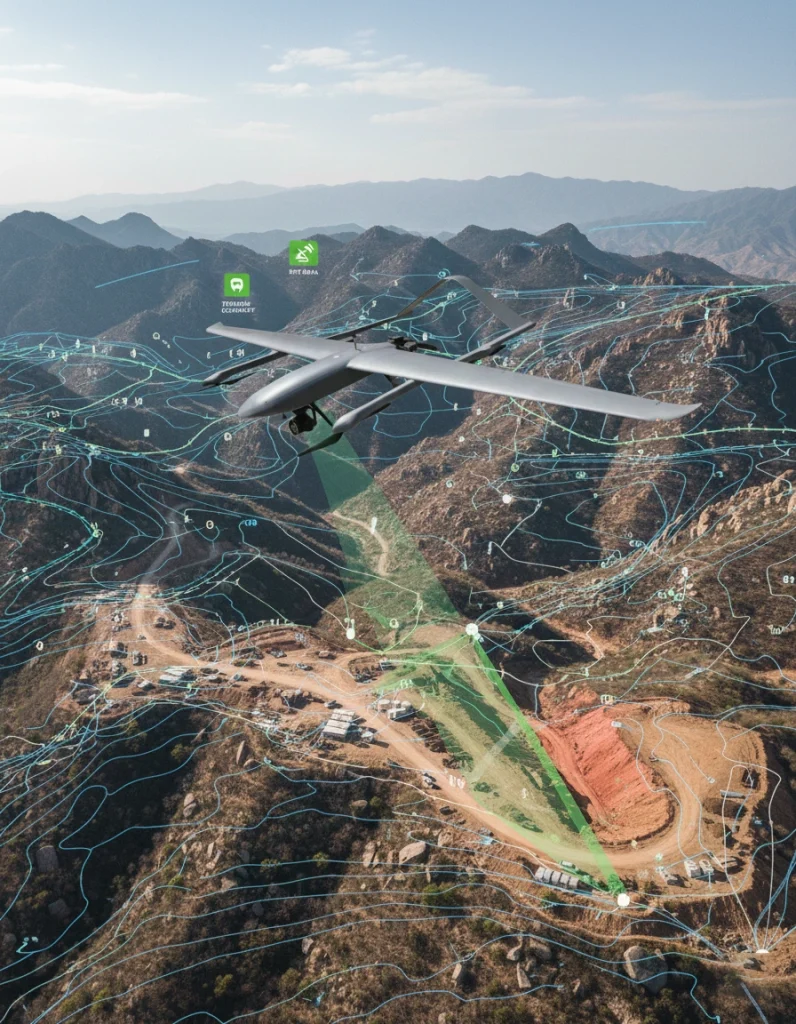
Construction UAVs allow for the quick collection of high-resolution images of large areas on the very first day of the project. The data is obtained through photogrammetry and/or LiDAR scanning ready for surveys within hours rather than in days. This includes tough and critical terrain.
| UAV Deliverable | Description | Key Applications |
| Orthomosaic Maps | Georeferenced aerial image mosaics | Planimetric review, accurate measurement, site visualization |
| Digital Surface Model (DSM) | 3D representation including terrain, buildings, vegetation | Terrain analysis, cut-and-fill calculations, site grading |
| 3D Point Cloud Model | Dense 3D coordinates of terrain and structures | BIM integration, clash detection, as-built verification, progress monitoring |
When RTK/PPK and Ground Control Points (GCPs) are used together for a survey, it means that the survey met an accuracy of centimeter level – generally between 1 – 3 cm horizontally and in less than decimeters vertically. The collected data is therefore sufficient for BIM integration, engineering planning and site assessment.
Application of UAV Survey Data in Design and Construction
Once captured and processed, UAV geospatial products serve as foundational inputs into design and construction workflows-particularly when integrated into BIM (Building Information Modeling) and CAD platforms.
| Application | Description | Stakeholder Benefit |
| Site Planning & Layout Optimization | Terrain analysis, limitations assessment, and laying out of temporary structures utilities and access roads, and ground disturbance areas. | Site development carried out quicker, no excessive flow of layout, and lessened site induced errors. |
| Cut & Fill Volume Calculation | Evaluate earthwork computations using digital elevation models. | Facilitates planning of balance, minimizes unwanted cuts and minimizes the cost of reworks. |
| Preliminary Design Validation | Compare the UAV modeling to the CAD/BIM design models to ensure that the surface fits within the grading pattern and that drainage is provided. | Ability to spot design discrepancies on time, better precision. |
| Construction Decision Support | Calibrate point clouds to BIM models for interference checking and tracking the construction progress. | Notification of possible problems able to be provided on chronological advances, encourages placing actions in prior events to eliminate change or loss. |
Construction Phase: Site Visualization and Progress Monitoring
Visualization and Time-Series Analysis
Industrial drones can periodically capture site imagery and 3D models to:
| Function | Benefit |
| Monitor construction progress visually | Real-time, objective insights into work status |
| Compare multiple time points | Detect delays, workflow bottlenecks, or resource misallocation |
| Unified as-built data | Enhances communication and reduces reliance on subjective reports |
Drones in the construction industry provide a unified, reliable “as-built” data source, improving communication among contractors, site managers, and stakeholders.
Safety Management and High-Risk Inspections
Drones can remotely inspect dangerous areas such as roofs, exterior walls, scaffolding, and steel structure joints:
| Inspection Focus | Stakeholder Benefit |
| Elevated structural connections | Reduces personnel exposure to high-risk zones |
| Facade and exterior quality | Ensures compliance with construction standards |
| Hazardous area monitoring | Enables proactive risk identification and enhances site safety |
Engineering Quantity, Cost, and Payment Management
Accurate Quantity Calculation and Verification
Using drone-generated 3D models and point clouds, project teams can perform precise earthwork volume calculations, material stockpile assessments, and stage-wise quantity comparisons. This ensures that actual site data aligns with design plans and construction contracts.
For owners and construction teams, the key advantages include:
| Feature | Description | Stakeholder Benefit |
| Accuracy and Reliability | Drones in the scope of construction have the advantage of objectification of construction processes such as monitoring and estimating construction volumes. | Reduce human error, ensure reliable measurement results, and provide a basis for decision-making. |
| Traceability | Almost all data and measurements that are taken during the survey activities are recorded and preserved for future documentation purposes, | Support dispute resolution and provide verifiable evidence for stakeholders. |
| Efficiency | UAVs are capable of covering great distances or very complicated, rugged terrain fairly easily. | Save time and manpower compared to traditional ground surveying, and accelerate project planning and execution. |
Cost Control and Transparent Payment
Drone data also supports construction cost management and payment verification by providing objective evidence of work completion relative to contract milestones.
Key applications include:
| Application | Description | Stakeholder Benefit |
| Progress-Based Payment Verification | Drone data can confirm the mileage stipulated in the contract, which is crucial for determining subsequent payment disbursements. | Helps guards against payment errors, enhances transparency and avoids making excess payment or raising payment dispute. |
| Dispute Reduction in Subcontract Settlements | Objective and verifiable drone data provides evidence for phased progress and material usage. | Alleviates compensation dispute causes contractual relations between the contractors and subcontractors. |
| Early Identification of Cost Deviations | Continuous monitoring of workload and material usage allows for the real-time detection of deviations. | Facilitates early control over cost, helps avoid exceeding budgets and backlash for taking too long to take action. |
Drones in the construction industry work as an impartial observer and in addition offers a form of safety for project stakeholders by providing reliable and auditable documentary evidence that in the long run helps eliminate trust issues, minimize deviations and make sure construction costs remain in control.
BIM-Driven Construction Management Powered by UAVs
| Application | Description | Stakeholder Benefit |
| As-Built vs As-Planned Comparison | Overlay drone point clouds with BIM models to identify deviations and spatial conflicts. | Early detection prevents large-scale rework, saves cost and time. |
| Progress Verification & Visual Reporting | Link UAV data with BIM components and schedules for monitoring. | Provides owners and regulators with trustworthy, visual evidence of progress. |
| Digital Twin of Construction Site | Continuous UAV data collection forms a dynamic digital twin. | Supports long-term operations and asset management, enables data-driven decisions beyond construction. |
Standardized Data Workflow
| Step / Process | Description | Stakeholder Benefit |
| Flight Planning | Define UAV routes based on project goals. | Aligns data collection with engineering needs, avoids redundancy. |
| Automated Data Acquisition | Capture imagery / LiDAR along pre-set paths. | Efficient, consistent data quality, reduces labor. |
| Data Processing | Generate orthomosaics, DSM, and point clouds. | Provides reliable datasets for BIM and decision-making. |
| Analysis | Progress, safety, and quantity verification. | Data-driven insights enhance project transparency. |
| Integration | Import processed data into BIM/GIS/project systems. | Seamless workflow and multi-stakeholder collaboration. |
Compliance and Safety
| Requirement | Description | Stakeholder Benefit |
| Legal Flight Permissions & Airspace Management | UAV operations comply with regulations. | Reduces legal risk, avoids interruptions. |
| On-Site Flight Safety Standards | Site-specific UAV safety protocols. | Protects workers and assets. |
| Data Storage & Usage Protocols | Secure data management per company/regulatory standards. | Maintains integrity, supports auditing. |
| Standard Operating Procedures (SOPs) | Unified workflows across projects. | Ensures consistent quality, enables scalable UAV operations. |
Conclusion
Drones in the construction industry are now indispensable assets in project management. Construction UAVs offer data which is provable and useful in informative ways, which enhances security, quickens supervision of work, helps in managing expenses, and permits easy BIM. Construction UAVs contribute towards minimizing work interruptions, efficient use of resources, and enhancing accountability by encompassing a digital construction cycle and promoting analytic informed decision making thus are an integral part of contemporary construction techniques.
Related Products