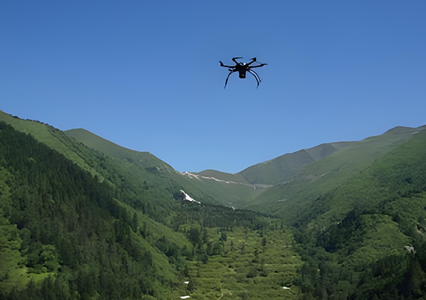
Drone Environmental Monitoring: How Drones Transform Environmental Monitoring
As environmental issues receive increasing global attention, drone environmental monitoring is becoming an important technology in the field of environmental protection. Drones can quickly collect high-precision environmental data and are playing an increasingly significant role in air quality monitoring, water quality monitoring, forest protection, and wildlife monitoring. Compared with traditional manual monitoring methods, drones offer advantages such as higher efficiency, lower costs, and real-time data collection, making environmental monitoring more intelligent and precise.
Today, we will introduce everything you need to know about drone environmental monitoring and help you understand how drones make environmental monitoring more convenient and effective.
What is Drone Environmental Monitoring?
Drone environmental monitoring refers to the use of drones (UAVs) equipped with various sensors and imaging devices to collect, analyze, and monitor environmental data. Through aerial imaging, remote sensing technology, and real-time data transmission, drones can quickly obtain environmental information across large areas.
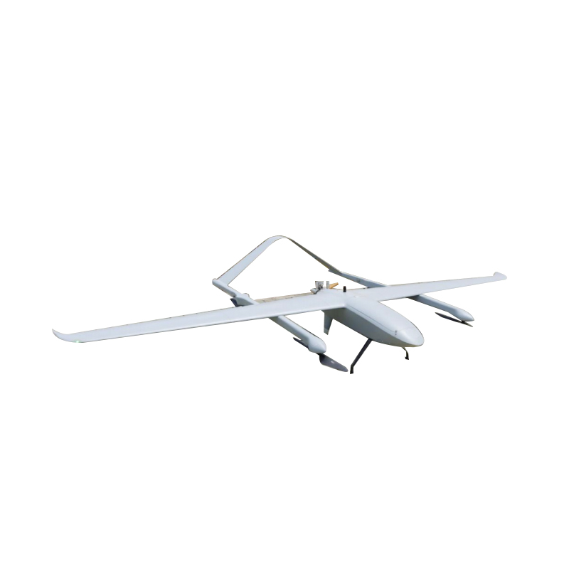
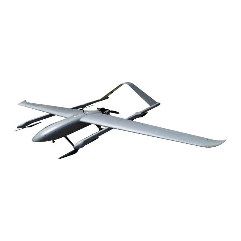
These drones are typically equipped with the device like high-resolution cameras, multispectral or thermal imaging sensors, gas detection sensors, LiDAR (Light Detection and Ranging) systems and GPS and Geographic Information Systems (GIS).
With these technologies, drones can continuously monitor air quality, water bodies, vegetation, and wildlife, while transmitting data in real time to analysis platforms. This enables researchers and environmental organizations to make more informed and scientific decisions.
Major Applications of Drone Environmental Monitoring
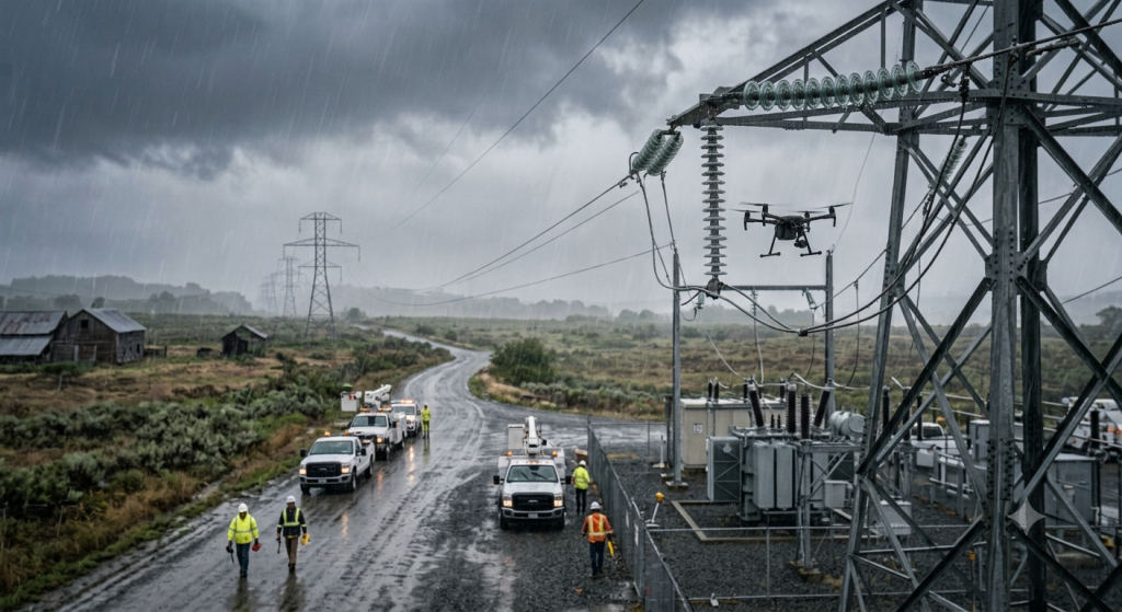
Drone environmental monitoring is extensively applied in numerous environmental management and research scenarios because ongoing development of drone technology and sensor systems and data analysis capabilities continues to progress. Drones can efficiently and accurately support environmental protection by gathering data from hazardous and complex areas which they can cover through their ability to traverse wide distances within short periods.
1. Water Quality Monitoring
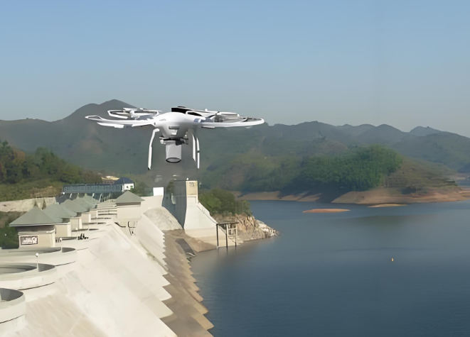
Drones perform essential functions to monitor rivers, lakes, wetlands, and marine environments. Drones use their high-resolution cameras and multispectral sensors and remote sensing systems to monitor water environments across extensive regions.
Drones have the ability to detect water pollution and they can monitor algal blooms and identify oil or chemical spills while they analyze changes in water color and clarity. The collected data allows researchers to evaluate the ecological health of water bodies while they can identify potential pollution threats at an early stage. Drones enable more efficient water quality monitoring through their ability to conduct rapid data collection across extensive areas, which outperforms traditional manual sampling methods.
2. Air Quality Monitoring
Air pollution stands as one of the primary environmental problems that affect the world. Drones equipped with gas sensors and particulate matter detectors can perform three-dimensional monitoring of air quality at different altitudes and locations. Drones possess the ability to identify pollutants which include PM2.5 and PM10 particles as well as carbon dioxide (CO₂) and sulfur dioxide (SO₂) and nitrogen oxides (NOx) emissions.
Researchers can use drone monitoring to obtain air pollution data while they simultaneously track down the origins of pollution. Drones can track how pollutants spread and their development throughout various periods. Drones provide industrial areas and urban airspace and sudden pollution event monitoring with better operational flexibility than traditional fixed monitoring stations.
3. Wildlife Protection
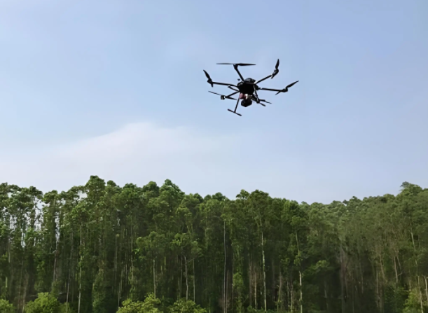
Nowadays, drones also play a more important role in wildlife conservation. These devices help in collecting whatever data they want without disturbing the animals, as they are able to monitor activities, have a perspective from a higher altitude.
Track-animal mapping, population counting of endangered species, and monitoring of wildlife habitats are some of the plans conducted by researchers using drones. In certain nature preservation areas, drones are flying to catch rascals who are hunting endangered or rare animals. The biological and geographical progress is ensured by high-resolution pictures and real-time data that drones can capture.
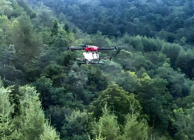
4. Forest Resource Monitoring
Forests are a vital part of the global system that not only helps in the maintenance of ecology but also acts as the final line of defense for biodiversity. Drones can bring major revolution by having them conduct flying over large areas of forests on short notice, which greatly help in forest resource management by forest authorities.
Drone surveillance has the ability to detect all illegal logging; assess the condition of the forests themselves, and break down infestations of pests and diseases. Thermal cameras mounted on drones can track forest fires to provide early warning of dangers and get alerts sent in real-time to forest management staff. Drones save the day for surveillance missions that make forest monitoring so much easier and so much more accurate.
5. Agriculture and Soil Monitoring
Drones have turned into a vital instrument for modern agricultural practices which require accurate farming measurements. Drones assist farmers through their ability to capture aerial images and gather data which enables farmers to monitor environmental changes on their agricultural land.
Drones provide various agricultural assessment functions because they can measure soil moisture levels and track crop development while detecting pest and disease threats and providing fertilizer and pesticide application solutions. Drones equipped with multispectral sensors create crop health index maps which enable farmers to make better management decisions. The method increases agricultural output while decreasing environmental damage caused by chemical substance usage.
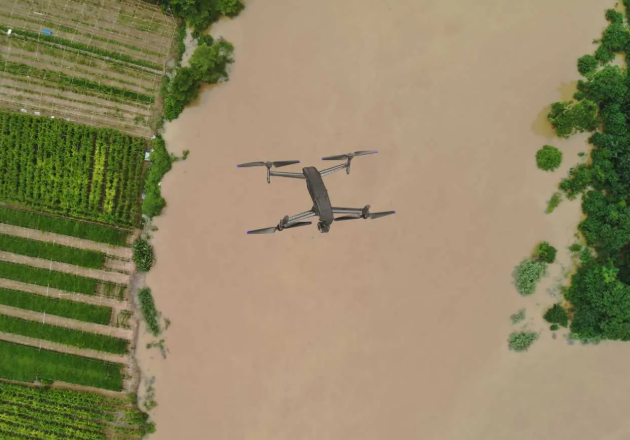
6. Environmental Disaster Assessment
After natural disasters or environmental incidents, drones can quickly enter affected areas to monitor and assess the situation. Compared with traditional methods, drones provide real-time imagery and environmental data in a short time, supporting emergency response decisions.
For example, after floods, drones can capture the overall condition of affected areas, helping authorities understand the extent of damage and road conditions. Drones are also useful for assessing forest fires, landslides, or marine pollution incidents, providing clear on-site imagery and monitoring data to help governments and rescue agencies develop more effective emergency plans.
Overall, drones are gradually transforming traditional environmental monitoring methods. With their efficient data collection, extensive coverage, and real-time analysis capabilities, drones provide smarter and more precise technological support for environmental protection and ecological research.
How Drones Are Transforming Environmental Monitoring?
The development of drone technology is profoundly changing traditional methods of environmental monitoring. Drones provide faster and more flexible environmental data collection than traditional methods which depend on manual sampling and ground-based equipment and satellite remote sensing. The following are several key ways in which drones are transforming environmental monitoring.
1. Improving Monitoring Efficiency
In traditional condition monitoring, field staff typically will have to go into the field to collect samples or set up long-term monitoring equipment as the case may be. This process consumes a lot of time, is plethoric on the human вогкф, and is limited in its coverage. Drones on the other hand, however, can rapidly fly to the designated operate areas and collect large-scale environmental data in a short time using aerial visuals or sensor equipment, making accurate monitoring much more feasible.
For instance, a single drone can conduct an assessment of environmental attributes over several kilometers in just a couple of minutes, in the instance where forest surveys or river inspections would have consumed may be hours to carry out only very thin sampling points in a terribly rough and inhospitable area.
2. Obtaining High-Precision Environmental Data
High-resolution cameras, multispectral imaging sensors, thermal imaging and gas sensors all are integrated into the drones to obtain data put into an exquisite detail. They are also having thoroughgoing information to fit environmental scientists; the data helps analysts and investigators identify important alterations in ecosystems, such as variations in vegetation health or malfunctioning water pollution or polluted air.
Sort of in comparison with satellite images, information from drones has a separate meaning due to their lesser count; drones obtain images at low altitudes, thereby giving extremely fine and accurate pictures.
3. Enabling Real-Time Monitoring
Drones can transmit the data they collect to ground control systems in real time via wireless networks. This allows researchers and environmental managers to promptly understand changes in the environment. For instance, in air quality monitoring in industrial zones or marine pollution monitoring, drones can quickly detect pollution sources and provide real-time data to support environmental management decisions.
4. Accessing Dangerous or Hard-to-Reach Areas
Numerous monitors are installed in difficult or dangerous zones to enter, like wildfire zones, heavily polluted industrial areas, offshore platforms, or right around forests and mountains. Drones can safely access these areas for monitoring, thereby keeping human personnel from harm.
It is particularly valuable for monitoring forest fires or volcanic activity since it is dangerous to have a human presence in such situations.
5. Reducing Monitoring Costs
Contrary to traditional helicopter campaigns or extensive ground measurements, drones are way more cost-effective. They are lightweight, easy to operate, and have a low maintenance cost which makes them attractive for more frequent continuous environment monitoring.
This enables governments, research institutions or environmental organizations to operate large inter-geographical-mapping programs despite having limited money.
6. Enhancing Disaster Response Capabilities
Drones can be absorbed in the rapid monitoring of affected areas in aerial situations at the time of our natural calamities or environmental disasters. When the агеа gets affected by floods, forest fires, air, or water pollution, drones can capture images and environmental data the disaster area. This will permit search and rescue teams to assess impacts and plan responses.
As a result of everything else, the utilization at one point of the drones for environmental monitoring will enter a new era which has become truly efficient, accurate, safe, and cheap in disaster response.
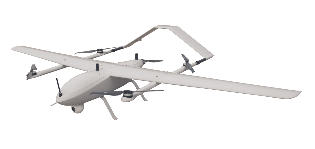
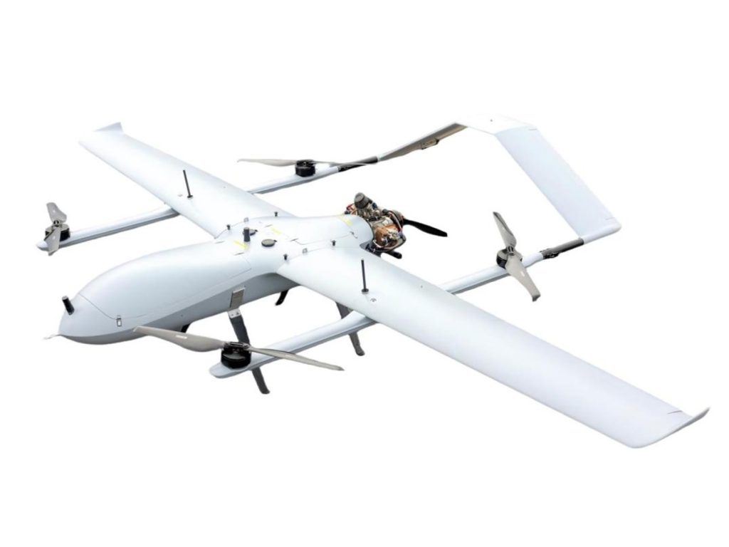
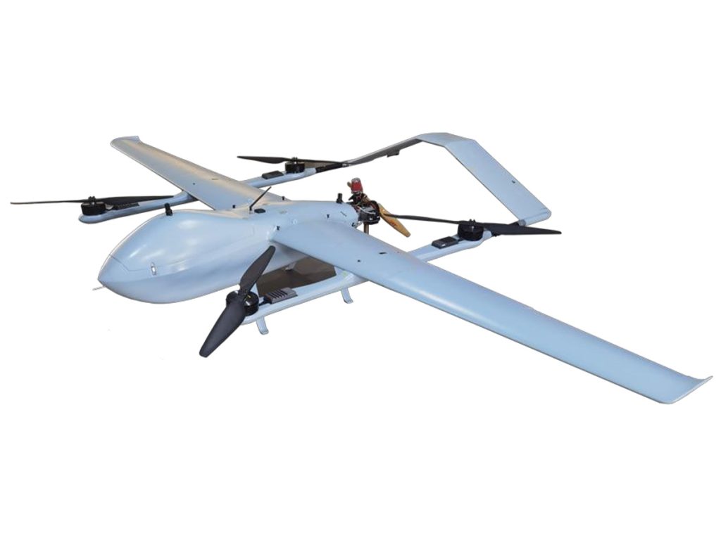
Make Environmental Monitoring Smarter with VastArrive Drones
As environmental challenges continue to grow, reliable and efficient monitoring tools are more important than ever. Researchers, environmental organizations, and government agencies use VastArrive drones, which deliver advanced sensors and real-time data transmission and multiple flight capabilities to perform effective monitoring of air and water and forest and wildlife resources.
The use of VastArrive drones in environmental monitoring programs enables teams to gather precise data, which improves their capacity to deal with environmental changes and make better decisions, resulting in cost reductions and decreased operational risks. VastArrive enables organizations to achieve their environmental monitoring goals through advanced technologies that deliver increased safety and sustainability.
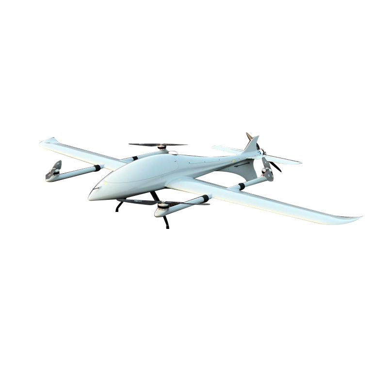
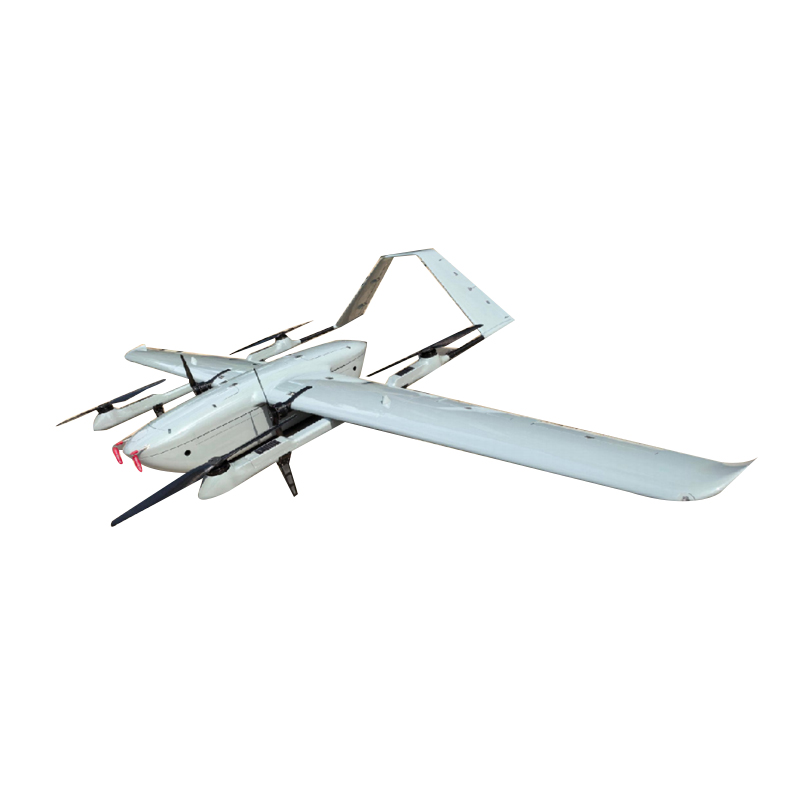
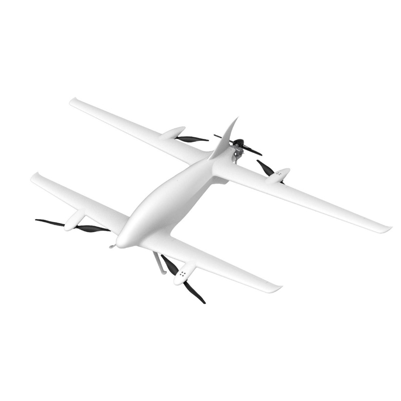
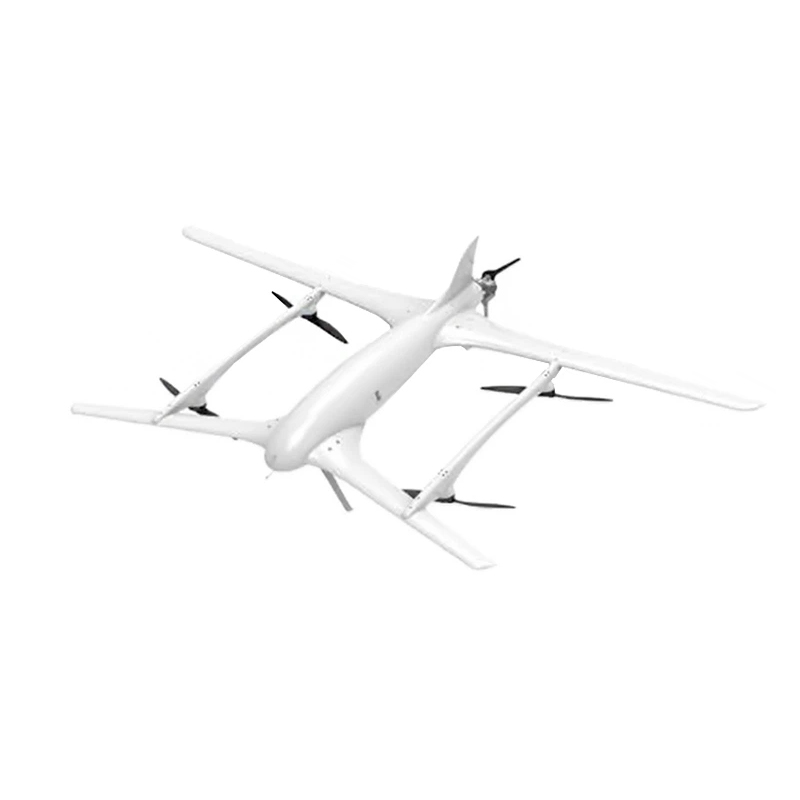
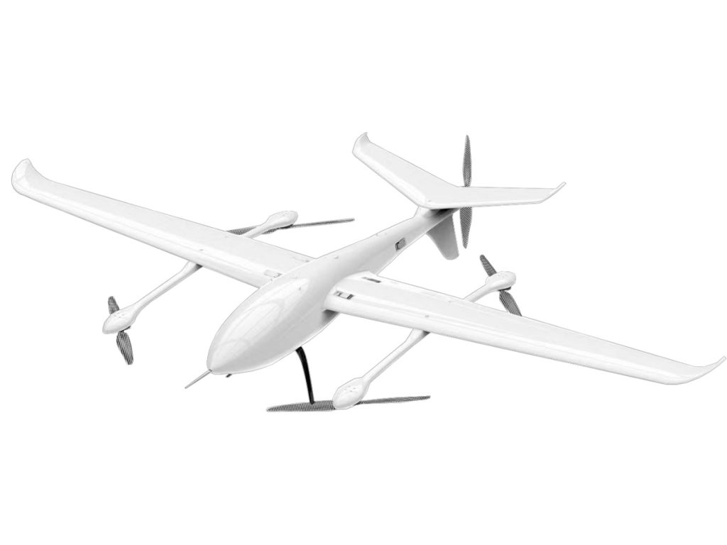
Related Products