
How firefighting Drones Support Fireground Reconnaissance
During a fire emergency, smoke, limited visibility, and inaccessible building areas can make it difficult for firefighters to understand the full situation. Roofs, upper floors, and surrounding structures may be difficult to inspect safely from the ground, while unknown hazards can complicate response planning.
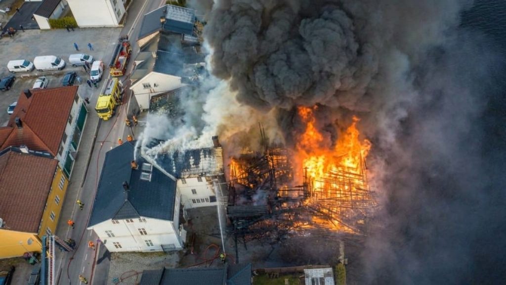
Firefighting drones provide an aerial perspective that helps emergency teams observe fire-affected areas, identify potential hotspots, and assess visible environmental conditions before approaching hazardous locations. Equipped with thermal imaging and real-time video systems, industrial drones can improve fireground situational awareness and support more informed operational decisions.
Table of Contents
Mapping the Fireground Perimeter
Understanding the extent of a fire is an important first step in fireground reconnaissance. A drone can capture aerial images of affected buildings, surrounding structures, access roads, and visible fire activity, helping incident commanders understand the spatial layout of the scene.
From an elevated viewpoint, operators can identify areas that may require closer inspection, observe the relationship between the fire and nearby structures, and document changes in visible conditions. This information can support decisions about inspection priorities and potential access routes.
Aerial imagery does not automatically establish the full fire perimeter, particularly when smoke or structures obscure the scene. However, it provides an additional perspective that can complement ground-level observations and existing incident information.
Identifying Heat Signatures and Hotspots
Thermal imaging helps operators observe temperature differences that may not be apparent in conventional video. During fireground reconnaissance, these images can help identify elevated-temperature areas on accessible roof surfaces, building exteriors, and surrounding materials.
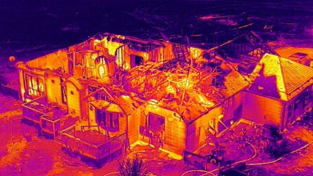
The VastArrive VA-FPVD13 can be equipped with a thermal imaging configuration featuring 640 × 512 resolution, supporting the observation of heat signatures during aerial inspections. When interpreted alongside visible-light imagery, thermal data can help responders identify areas that may warrant further investigation.
However, thermal imaging has limitations. Camera performance depends on viewing distance, atmospheric conditions, surface properties, and equipment specifications. It cannot reliably see through walls or roofs, and a detected hotspot does not independently establish the cause of heating or confirm structural safety.
Assessing Smoke Distribution and Visibility
Smoke can obscure entrances, rooftops, windows, and nearby structures, making visual assessment more difficult. A drone can record visible smoke distribution from different external viewpoints, helping responders understand which areas are obscured and where visibility may be restricted.
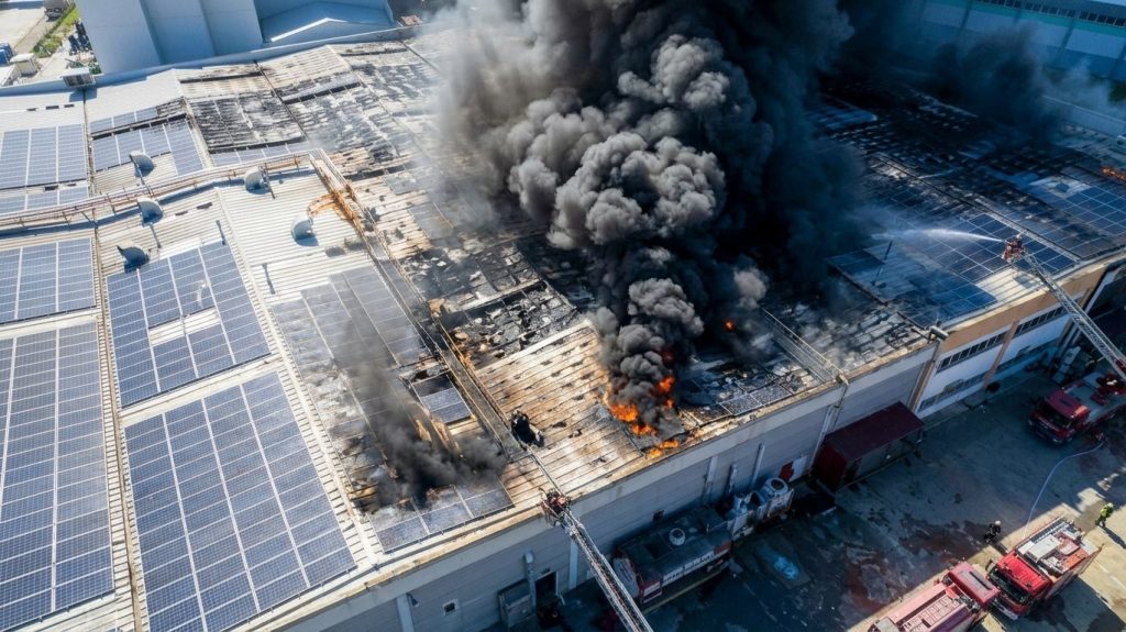
Repeated aerial observations may also document changes in smoke direction, density, and coverage over time. These observations can contribute to situational awareness, particularly when assessing external access conditions or monitoring the surroundings of a fire-affected building.
Smoke imagery alone cannot determine toxic gas concentrations or reliably predict fire spread. Such assessments require appropriate sensors, environmental information, and professional interpretation.
Observing Building Conditions and Potential Hazards
Fire can damage roofs, exterior walls, and surrounding infrastructure. Ground-level access to these areas may be limited by flames, debris, or other hazards.
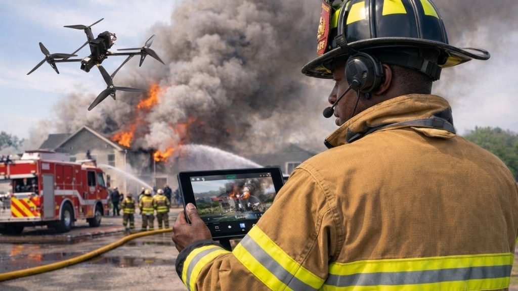
A drone can capture images of visible structural damage, roof conditions, fallen materials, blocked access points, and nearby obstacles. These observations help firefighters identify areas requiring closer assessment without immediately sending personnel to every inspection point.
When supported by compatible mapping equipment, aerial imagery can also contribute to spatial documentation. Nevertheless, external images cannot confirm internal structural integrity or determine whether a building is safe to enter. Structural assessments must remain with qualified personnel using appropriate procedures.
Delivering Real-Time Information to Incident Command
Aerial observations become more valuable when they can be shared with the incident command team. Compatible live-video and positioning systems can help commanders review visible fire conditions, coordinate inspections, and communicate areas requiring attention.
Depending on the communication setup, drone operators may provide live footage, thermal images, location information, and recorded evidence for further review. Reliable transmission depends on signal coverage, interference, obstructions, and the capabilities of the ground station.
By providing an additional view of the incident, drones can help teams build a more complete operational picture. The information supports decision-making but does not replace established communication protocols or incident-command procedures.
Reducing Unnecessary Exposure to Unknown Conditions
Before firefighters approach an unfamiliar area, aerial reconnaissance can help identify visible obstacles, inaccessible exterior sections, potential hotspots, and conditions that require additional investigation.
The VastArrive VA-FPVD13 supports reconnaissance applications through compatible imaging equipment, including the 640 × 512 thermal imaging configuration. For operations requiring additional intervention, the B100P multi-purpose heavy drone offers a different capability: a maximum payload capacity of 52 kg and configurable firefighting equipment, including a high-pressure water gun with a 40 mm fire hose.
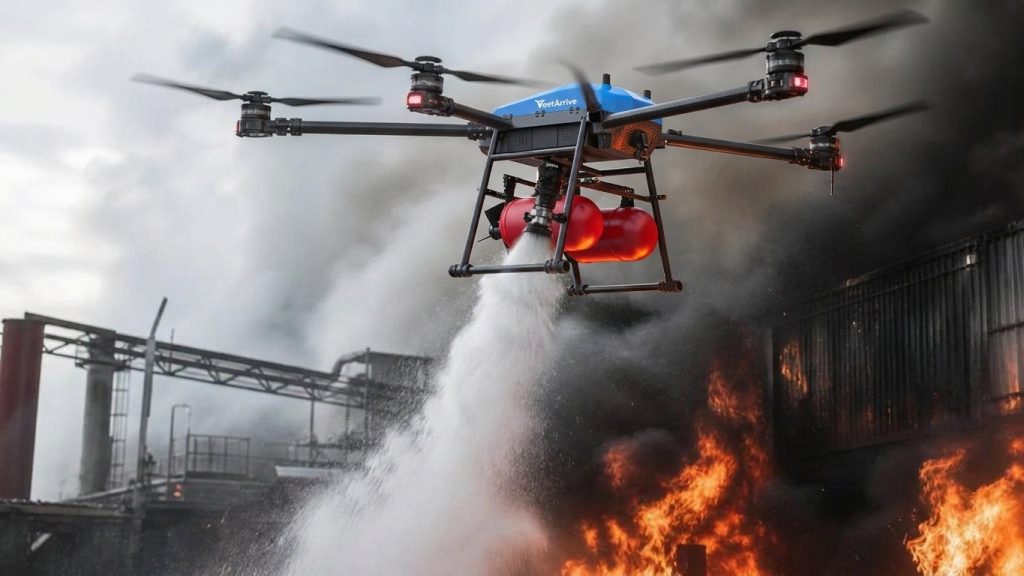
Depending on the selected configuration and operating conditions, the B100P can support targeted fire suppression in suitable locations. Its stated flight duration is 8–18 minutes, so mission planning must account for payload, water supply, flight conditions, and operational limits.
Reconnaissance and suppression remain distinct functions. Drones can help reduce uncertainty before personnel approach a hazardous area, but they cannot eliminate risk or replace on-site hazard assessment.
Conclusion
Drones support fireground reconnaissance by providing aerial views of affected areas, thermal observations of potential hotspots, and visual information about smoke distribution and building exteriors. When integrated into established emergency procedures, these capabilities help firefighters assess unfamiliar conditions and make better-informed decisions before entering potentially hazardous environments.
VastArrive offers the VA-FPVD13 for reconnaissance-related applications and the B100P for heavy-payload operations with configurable firefighting equipment. The appropriate solution depends on the mission, compatible payloads, environmental conditions, and operational requirements. Customized modules can be discussed with the VastArrive technical team to identify suitable configurations for specific emergency-response applications.