
Drone Bridge Inspection: How Drones Make Bridge Inspections Easier

Bridges are subjected to long-term vehicle loads, rainwater, temperature variations, and salt spray erosion. Issues such as cracks, concrete spalling, steel structure corrosion, and damaged connecting components may gradually affect bridge safety.
Traditional bridge inspection often requires bucket trucks, scaffolding, or rope access systems. Particularly when dealing with large cross-river bridges, viaducts, and complex steel structures, traditional methods face significant challenges in inspection efficiency, safety, and traffic control.
Drone Bridge Inspection offers a more efficient auxiliary solution. Equipped with high-definition, zoom, thermal imaging, or LiDAR sensors, drones can quickly capture images and data from high altitudes, bridge undersides, and other hard-to-reach areas, helping engineers detect potential defects faster while reducing high-altitude operational risks for personnel.
Want to learn more about drone bridge inspection? Read on!
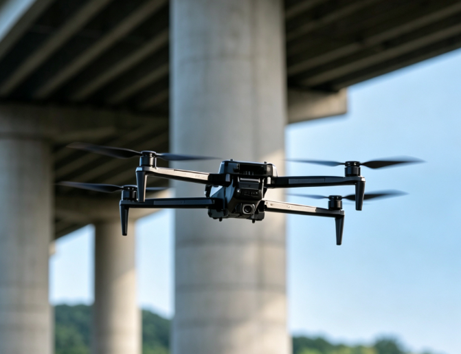
Table of Contents
Why Use Drones for Bridge Inspection?
Despite the necessity of the traditional method of manual inspection, it is possible to employ drones as an additional tool for solving certain challenges of bridge inspection.
1. Reducing Personnel Exposure to High-Altitude and Hazardous Areas
The problem with bridge inspection is that the inspector needs to be physically close to the object being inspected in order to see the defect.
For example, the inspection of the bottom part of a viaduct usually involves the use of bucket trucks. For cross-river or sea-crossing bridges, these operations carry even higher risks and organizational difficulty.
Drones can complete long-range and close-range visual data collection first, allowing engineering teams to understand field conditions before deciding if personnel entry is necessary, thereby reducing unnecessary exposure to high altitudes, water environments, and traffic.
2. Streamlining Complex On-Site Preparation
Large bridge inspections typically involve:
Traffic Control → Equipment Transport → High-Altitude Equipment Setup → Personnel Access → Inspection → Equipment Demobilization
Drones simplify the on-site workflow significantly:
Site Planning → Drone Flight → Data Collection → Data Analysis
Especially for routine or repeated inspections, drones can quickly capture standardized imagery and establish digital historical records, making it easy for engineers to compare structural changes over time.
3. Inspecting Hard-to-Reach Structures with Ease
One of the most valuable applications of drones is obtaining visual data from areas difficult to access with traditional equipment:
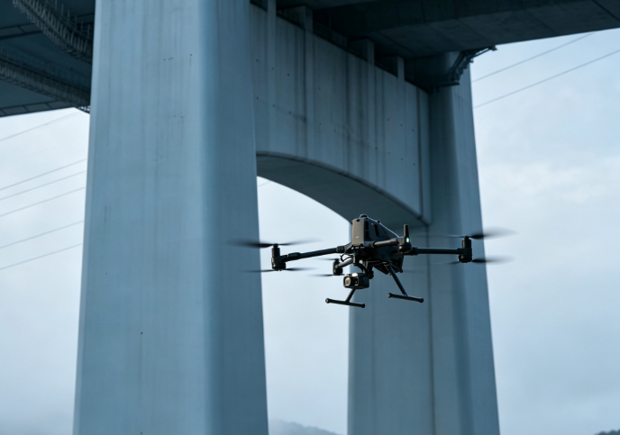
Underside of a Bridge: Usually narrow, near the water level, or structurally complex. Drones take images of multiple areas at a high definition to detect any cracks, spalls, or surface irregularities.
Pier of Tall Bridges: Drones cover different levels of piers of tall bridges in quick succession, making manual inspections of each area unnecessary.
Structural Connections in Steel Bridges: Steel bridges have numerous joints, bolts, welds, nodes, and connections. Using drones fitted with high-definition and/or zoom lenses, close images can be taken to make a preliminary visual assessment of corrosion and damage to coatings of such structures.
Cross River Bridges: Data collection takes place from the sides, undersides, and piers of bridges crossing rivers; some over-water work is made unnecessary through drones while the efficiency of field work increases.
What Issues Can Drone Bridge Inspection Detect?
By utilizing high-resolution cameras, zoom lenses, thermal imaging, or LiDAR, drones quickly collect multi-area data to help engineers spot and record visible structural anomalies.
Concrete Cracks & Surface Degradation:
Drones identify and document surface cracks, spalling, honeycombing, exposed rebar, and other visible defects, creating image archives with location data. (Further evaluation by professionals is still required for crack depth, root causes, and structural impacts.)
Steel Structure Corrosion & Coating Damage:
For steel bridges and components, drones focus on rust, corrosion, coating peeling, blistering, and surface damage. High-magnification zoom cameras capture close-up details of bolts, welds, and joints for subsequent manual checks.
Bearings & Expansion Joint Anomalies:
Drones assist in inspecting bearings and expansion joints for visible anomalies like deformation, displacement, rust, damage, or debris accumulation, reducing unnecessary high-altitude trips before targeted manual inspections are scheduled.
Anomalies in Hard-to-Reach Areas:
Areas like bridge bottoms, tall piers, box girder exteriors, and overwater structures are difficult to inspect quickly using traditional methods. Drones capture high-definition images from various angles. Building inspection logs over time helps engineering teams track defect progression and manage bridge health systematically.
How Does Drone Bridge Inspection Work?
A professional UAV bridge inspection isn’t merely flying a drone over a bridge to take pictures of it; rather, it is a systematic process involving various stages like determination of inspection goals, flight planning, and data analysis.
Step 1: Formulate the Inspection Plan
Before flying, the team defines target areas, expected defects, shooting distances, and required image resolutions. A flight plan is crafted based on bridge size, structural complexity, weather, wind speed, obstacles, and flight restrictions. For details like cracks, bolts, and connecting nodes, the team determines in advance whether high-power optical zoom or other sensors are required.
Step 2: Execute the Drone Flight
Flights can either be manually performed, automated, or a mixture of the two. Wide coverage areas are suited for automated flights in advance, whereas potential defects and complex knots often need close-range photography done manually.
Step 3: Collect Bridge Inspection Data
Drones are fitted with various payload loads depending on the nature of the inspections. High-resolution cameras are used to conduct visual inspections to detect any cracks, concrete surfaces, and corrosion, while zoom cameras take images of structural components at high altitudes and thermal cameras help detect temperature discrepancies.
Step 4: Process and Analyze Data
Post-flight, large volumes of photos, videos, and sensor data are organized and analyzed—including image stitching, 3D reconstruction, point cloud generation, defect localization, and temporal image comparison. Correlating defect locations, structural parts, timestamps, and historical imagery is far more useful for long-term maintenance than storing standalone photos.
Step 5: Generate the Inspection Report
The final results are tabulated in a report that contains images in HD quality, defect positions, pictures, 3D models, and further recommendations. Comparing the collected information at various inspection dates enables the engineering team to identify any defects trend, thus turning the drone from just an aerial camera to a real bridge inspection asset.
Drones vs. Traditional Bridge Inspection: Comprehensive Performance & Cost Comparison
To visually evaluate the application value of drone technology, here is a comparison between drone inspection and traditional methods across core operational dimensions:
| Evaluation Dimension | Traditional Manual / Bucket Truck Inspection | Drone-Based Digital Inspection |
| High-Altitude Safety | Extremely High Risk. Personnel rely on ropes or baskets, with risks of falling accidents. | Zero High-Altitude Risk. Pilots and engineers operate remotely from safe ground areas. |
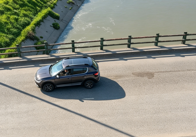
| Traffic Disruption | Requires closing 1–2 lanes, causing severe traffic jams and requiring complex permits. | Zero / Minimal Disruption. No lane closures needed; anti-airspace interference tasks require minimal control. |
| Inspection Efficiency | Slow. A medium-to-large cross-sea or valley bridge takes 1 to 3 weeks. | Highly Efficient. Bridges of the same scale typically take only 1 to 3 days for full data capture. |
| Data Accuracy & Coverage | Relies on visual checks and manual logs; restricted by line of sight; hidden corners easily missed. | Millimeter Precision & Full Coverage. Covers bridge undersides, cap beams, and towers; supports 3D digital twins. |
| Total Inspection Cost | Consistently High. Includes costly bucket truck rentals, road closure compensation, and hazard pay. | Reduces direct O&M and operational time costs by 50%–70%. |
How Much Does Drone Bridge Inspection Cost?
There is no fixed price for drone bridge inspection, as costs depend on the inspection method, bridge scale, equipment setup, and data processing requirements. Organizations and bridge authorities generally have two options: hiring a professional third-party service or purchasing drones to build in-house capabilities.
Option 1: Hiring a Professional Drone Inspection Service
If the need is for periodic inspections and/or a team that does not possess skilled drone pilots, then it is more efficient to opt for an external drone inspection service for bridges. The cost of projects depends on the dimensions of the bridge, the type of inspection needed, the conditions at the location, duration of flight, and any requirements of high definition, thermal imaging, LiDAR, 3D modeling, or reporting.
Pros: No initial cost incurred for drones, sensors, pilots, and data processing software. But over a period of time, the costs of outsourcing may be substantial for organizations maintaining many bridges.
Option 2: Purchasing a Drone for Bridge Inspection
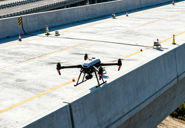
The acquisition of appropriate drones may be more economical for organizations that perform regular or long-term inspections on bridges. The important aspects to take into consideration apart from the frame of the drone include camera, optical zoom, battery life, obstacle detection capability, stability, and data processing software.
Bridge owners, engineering companies, and maintenance companies that have their own internal teams for inspecting bridges will benefit greatly by acquiring drones.
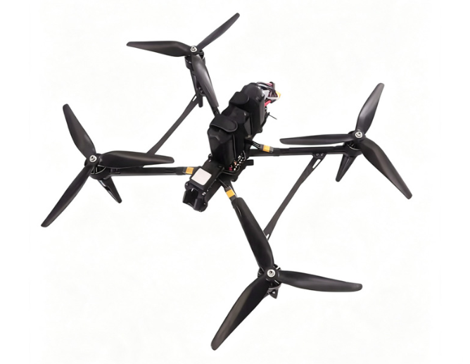
VastArrive VA-FPVD13 Drone for Bridge & Infrastructure Inspection
For users needing a platform that balances bridge inspection, infrastructure monitoring, and other industrial tasks, VastArrive VA-FPVD13 is a versatile industrial drone. Featuring a 13-inch frame paired with 4218 360KV motors and an 8S 16000 XT90 battery, it offers a flight time of approximately 15–35 minutes to support long-distance and sustained inspection missions at an affordable price point between $780 and $975.
In bridge inspection scenarios, the VA-FPVD13 captures high-definition imagery of bridge undersides, piers, steel beam gaps, and other hard-to-reach areas. Its robust propulsion system supports high-altitude flights in complex terrains, making it suitable not only for bridges, but also for power facilities, wind turbines, tunnels, mountainous areas, and other industrial infrastructure.
For long-range missions, the VA-FPVD13 achieves a cruise distance of roughly 10–30 km per flight. Depending on task requirements, it can also be equipped with or work alongside night vision, thermal imaging, and lightweight LiDAR modules for diverse data collection needs.
For engineering firms, infrastructure maintenance enterprises, and professional inspection teams seeking to build in-house drone capabilities, the VA-FPVD13 serves as a cost-effective drone platform for both bridge inspection and multi-scenario industrial operations.
What Type of Drone Is Best Suited for Bridge Inspection?
High specifications alone cannot guarantee that a drone can be used for all kinds of bridge inspections. Rather, it is important to find out which platform would be ideal for the size of the bridge, the inspection distance, the structure involved, and the kind of sensors needed.
Multi-Rotor Drone
Can hover steadily and has excellent agility and maneuverability at low speeds. It is recommended for close inspections of bridges below, bridge piers, steel beam joints, and other structures.
Long-Endurance Drone
Flight time directly impacts overall efficiency on large bridges or long-distance projects. Longer endurance means fewer battery swaps and takeoff/landing cycles, allowing operators to gather more data per flight. Multi-rotor platforms that balance endurance and agility offer high practical value for tasks combining long-distance scouting with local close-up checks.
Zoom Camera Drone
For large bridges, optical zoom capability is often more critical than simply increasing pixel count. When drones cannot safely fly close to bridge towers, steel beam nodes, or elevated structures, high-power optical zoom enables operators to record fine details while maintaining a safe distance.
Thermal Imaging Drone
The thermal imaging system serves as a supplemental sensor that provides information on temperature in addition to the ordinary visible imagery in order to detect thermal anomalies. It is important to understand that the thermal anomaly does not necessarily signify a structural deficiency. Platforms supporting thermal payloads should be selected specifically when projects mandate temperature anomaly analysis.
Summary
Value of Drone Bridge Inspection is not about totally getting rid of people who conduct inspections. It’s all about changing the conventional model which says that “personnel has to be present close to the structure for collecting the information.”
By using cameras with high resolution, optical zoom, thermography, LIDAR, and 3D modeling, drones can help in collecting structural information in a faster manner, reduce worker exposure to high risks, and create complete, digital, and traceable maintenance records.
If you are looking for the right drone solution, feel free to contact VastArrive!