How High Can A Drone Fly? A Complete Guide to Drone Flight Altitude
“How high can a drone fly?”
This is often the first question beginners ask, and one frequently searched by aerial photographers, commercial pilots, and experienced operators alike.
But the answer is more than just a number.
Legally, most countries set clear altitude limits for drones. Technically, many drones are capable of flying far higher than those limits. In practice, however, flying safely and legally matters far more than flying as high as possible.
Understanding how high a drone can fly, how high it is allowed to fly, and why altitude limits exist is the first step toward becoming a compliant, professional drone pilot.
What Are the Legal Maximum Altitude Restrictions for Drones in the U.S.?
Before discussing how high a drone can fly physically, it’s essential to understand its legal limits. Flying beyond these altitudes not only violates law but is also unsafe.
FAA Altitude Rules for Drones
In the United States, drone operations are governed by the Federal Aviation Administration (FAA). Here’s what you need to know:
Maximum Altitude: 400 feet (approximately 120 meters) above ground level (AGL).
Applies to: RPA pilots/operators and all commercial operations under Part 107
Why the FAA Sets This Limit:
- Maintain a safe distance between drones and manned aircraft.
- Reduce mid-air collisions and other airspace accidents.
Tip: Beginning pilots often become confused between AGL (Above Ground Level) and MSL (Mean Sea Level). FAA limits are set based on AGL – that means height relative to ground surface not elevation above sea level.
Exceptions to the 400-Foot Limit
Under certain conditions, FAA allows exceptions; however, these require careful planning and sometimes formal approval:
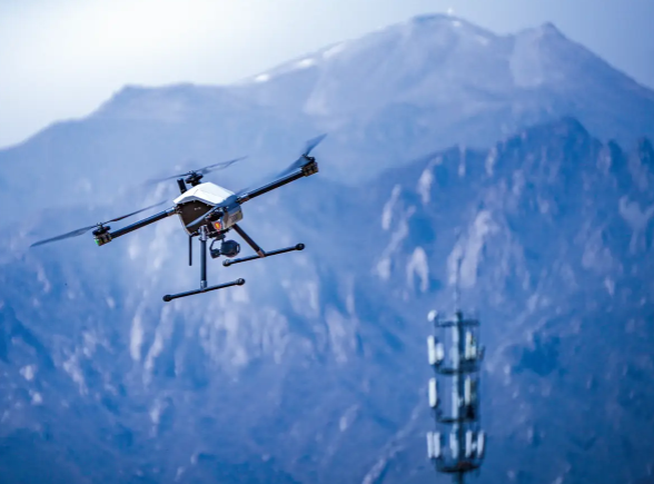
Flying near tall structures involves flying near certain heights. If you are near a building, tower, or other structure, your flyover could fly 400 feet above its top rather than over ground level.
Example: A 200-foot tower allows up to 600 feet AGL flying.
Specialized commercial, research, or testing operations: some commercial or scientific flights may necessitate travel over 400 feet.
Operators may request airspace authorization through LAANC (Low Altitude Authorization and Notification Capability), or apply for a waiver with the FAA.
Note: Approving requests does not happen automatically. Each application is evaluated individually, and specific conditions or safety measures may be necessary in order to satisfy it.
Done Altitude Limits in Different Countries and Regions
When looking at drone regulations worldwide, one thing becomes clear: most countries have similar maximum altitude rules, usually around 120 meters (400 feet) above ground level.
Here is an overview of some major countries and regions:
| Country / Region | Maximum Legal Altitude | Exceptions / Notes | Authority |
| United States | 400 ft (≈120 m) AGL | Higher with waiver or LAANC approval | FAA |
| European Union | 120 m AGL | Special operations may be approved by national authorities | EASA |
| United Kingdom | 120 m AGL | Permission needed for higher flights | CAA |
| Canada | 400 ft (≈122 m) AGL | Special Flight Operations Certificates (SFOC) for higher flights | Transport Canada |
| Australia | 120 m AGL | Higher flights require CASA approval | CASA |
| New Zealand | 120 m AGL | Specific permissions for commercial/research flights | CAA NZ |
| Japan | 150 m AGL | Local authorization may be required | MLIT |
| China | 120 m AGL | Special permission needed; geofencing restrictions | CAAC |
| Singapore | 200 ft (≈61 m) AGL | Higher flights require approval from authorities | CAAS |
| United Arab Emirates | 400 ft (≈120 m) AGL | Restricted zones near airports and cities | GCAA |
| India | 400 ft (≈120 m) AGL | No-fly zones; registration mandatory for drones above certain weight | DGCA |
| Germany | 100 m AGL (for most drones) | Special exemptions possible for commercial operations | LBA / EASA regulations |
| France | 120 m AGL | Higher flights require authorization | DGAC |
| South Korea | 150 m AGL | Permission required for higher altitudes | MOLIT |
| Brazil | 120 m AGL | Exemptions for special commercial operations | ANAC |
From a Technical Perspective: How High Can Drones Really Fly?
Legal restrictions aside, the maximum flight altitude of a drone depends largely upon its type, propulsion system, sensors, communication links, airframe design and intended use. Different categories of drones possess varied technical capacities that help pilots plan safe flight altitudes without risking unnecessary extreme heights.
Toy Drones
Toy drones are intended for beginners and recreational users, such as children. They typically come equipped with limited power and battery capacity, ranging between 10-50 meters in their maximum flight altitude; many lack GPS positioning capabilities and return-to-home functionality, making high-altitude flight more vulnerable to signal loss or control issues; these drones should therefore preferably be kept indoors or at low altitudes where safety can be ensured.
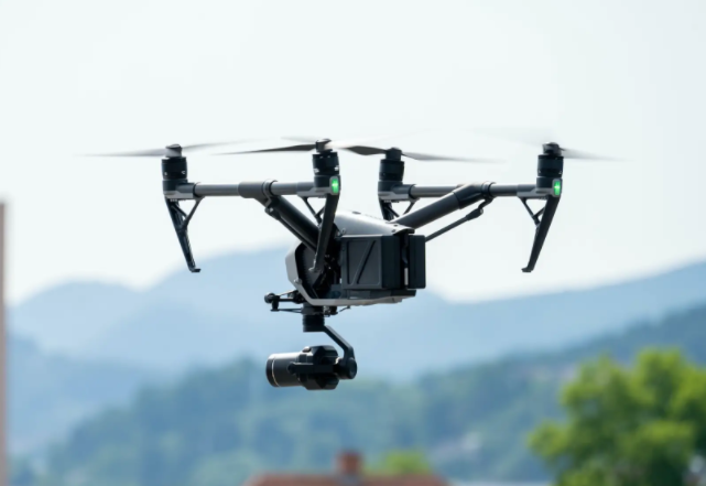
Consumer Drones
Consumer drones are intended for personal and light commercial aerial photography. Technically capable of flying between 500-1,200 meters, software typically limits them to 120 meters to comply with regulations.
Equipped with GPS navigation capabilities, live video streaming features and automatic return home features; higher flights technically possible but exceeding software limits significantly increases risk, including signal loss, failed automatic returns and potentially distorting aerial footage.
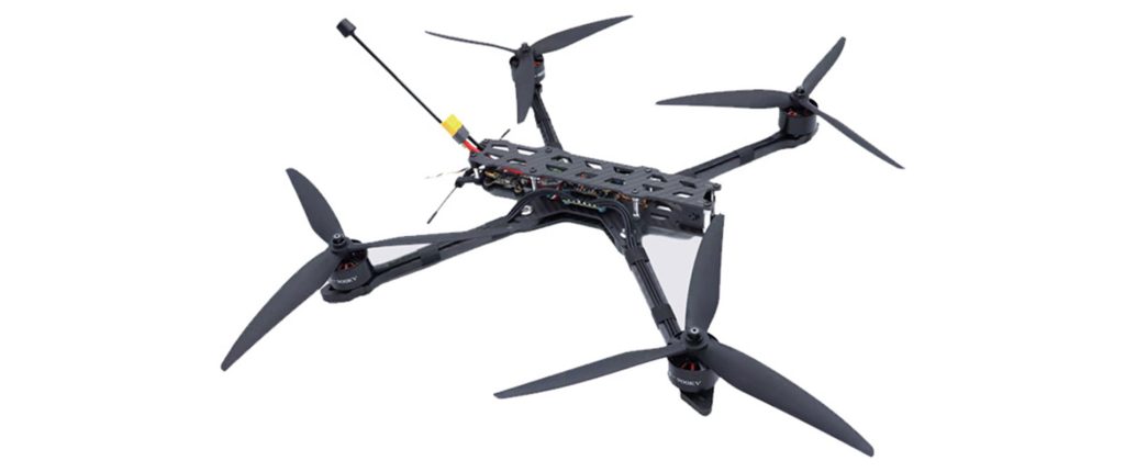
FPV/Racing Drones
FPV and racing drones prioritize speed and maneuverability, with their optimal flight altitude typically falling between 50 to 200 meters. Lightweight yet highly responsive, they make ideal choice for racing or stunt flying – in excess of 200 meters may cause significant video transmission delays or signal interference which reduce control precision while increasing crash risks.
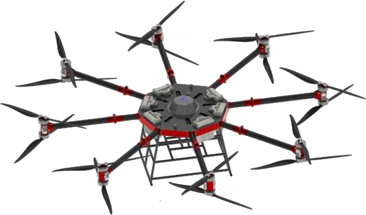
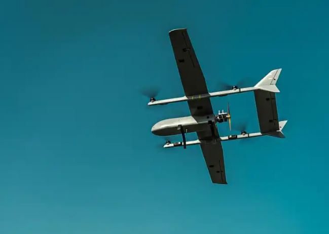
Industrial Drones
Industrial drones are built for professional tasks such as surveying, inspection and agricultural work. Their maximum altitude typically ranges between 1,000-3000 meters. Their systems feature powerful propulsion systems with advanced battery management features as well as flight control algorithms capable of wind resistance. Furthermore, industrial drones must still abide by local airspace laws as signal reliability and environmental factors are still key considerations when flying high altitude flights.
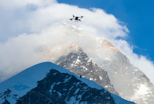
Research and Environmental Monitoring Drones
Research drones are used for weather observation, geological surveys and environmental monitoring with theoretical flight altitudes ranging from 500-5,000 meters. Equipped with high-precision sensors to measure meteorology sampling as well as optical or infrared measurements as well as long endurance batteries, high altitude flight requires careful planning of flight paths and altitude to avoid interfering with manned aircraft or violating airspace regulations.
Military Drones
Military drones are widely used for strategic reconnaissance, border monitoring and high-altitude research missions with theoretical flight altitudes between 8,000 and 20,000 meters. Equipped with powerful engines, satellite navigation systems, precision sensors and encrypted communication systems allowing safe flight in extreme environments, military drones far surpass civilian needs; only military personnel or specialized researchers should operate them; their altitude relevance only comes into play during military or research missions.
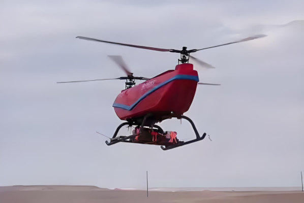
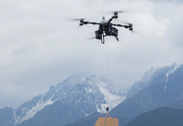
Large Commercial Drones
Commercial drones are built for heavy cargo transport or long-endurance monitoring at theoretical flight altitudes between 1,000 and 6,000 meters, featuring powerful propulsion systems, large batteries or fuel engines, high automation features and high propulsion system power for optimal performance, perfect for logistics operations, large scale inspection and energy monitoring purposes. However, these drones can be expensive to operate, large in size, subject to airspace restrictions that require prior flight approval as well as costly operation fees.
Factors Affecting Drone Flight Altitude
Even within legal flight limits, drone performance can differ significantly depending on technical and environmental factors that determine how high they can safely fly; understanding these is integral for safe and efficient operation of drones.
1. Drone Design and Propulsion System
Design and hardware of a drone play a critical role in its maximum altitude and stability at high altitudes. Key elements include:
Motor Power and Continuous Thrust
The more powerful a drone’s motors, the easier it will be able to overcome gravity and air resistance during ascent. More powerful motors provide superior high-altitude performance, faster climb rates, and enhanced stability under turbulent conditions.
Propeller Efficiency
Propellers play a critical role in providing lift. Their size, shape, pitch and material all impact efficiency, high performance propellers can maintain stable lift with reduced power input; this is especially relevant when flying at higher altitudes where air density decreases.
Battery Capacity and Discharge Performance
Batteries have an immense effect on flight duration and altitude capability of drones. High capacity, high discharge batteries allow drones to maintain stable flight under increased loads while mitigating energy loss caused by thinner air or increased motor effort.
Airframe Design and Weight
In general, lighter drones tend to perform better at altitude. Structural rigidity also plays an essential role, as flexible or poorly balanced frames may compromise stability under windy or high-altitude conditions.
An efficient propulsion system featuring powerful propellers and batteries can significantly enhance high-altitude stability, wind resistance, and overall flight performance.
2. Control Signals and Communications Range
Drone flights rely on reliable communication between pilot and aircraft, with increasing altitude making maintaining strong and stable connections increasingly challenging.
Remote Signal Strength
As distance and altitude increase, signal strength declines with distance. Loss of signal may trigger automatic return-to-home, hover, or emergency landing modes on the device.
Video Transmission Stability
High-altitude video transmission can be susceptible to lags, frame drops or interference that decrease pilot situational awareness.
Environmental Interference
EMC interference from buildings, power lines or radio signals can interfere with both video control and control link transmission at higher altitudes, potentially interfering with both control and video links.
Many drone incidents do not arise because a drone flies too far, but due to flying too high and thus jeopardizing signal link and control reliability.
3. Weather and Environmental Factors
Environmental conditions play a substantial role in drone performance at higher altitudes:
Reduced Air Density
With higher altitude comes reduced air density, leading to reduced lift. Motors and propellers must work harder which in turn drains batteries quicker, impairing stability as a result.
Wind Speed and Turbulence
High-altitude winds tend to be stronger and less predictable than those nearer the ground, meaning gusts can knock drones off course, reduce stability, and increase power usage.
Temperature Effects
Low temperatures reduce battery efficiency, shortening flight times and possibly setting off automatic safety protections. Extreme heat can degrade performance or damage components.
Weather Events
Rain, fog and snow not only increase weight and drag but may interfere with sensors and electronics systems affecting safe flying altitude.
Environmental conditions often play a pivotal role in ensuring safe high-altitude flight. Many accidents have been tied to conditions at altitude rather than distance or pilot error alone.
Risks Associated with Operating Drones Too High
Even when operating outside legal restrictions, flying an excessively high drone comes with serious risks that pilots must understand to operate more safely and avoid accidents. Knowing these dangers allows for safer drone operations and may help pilots prevent accidents altogether.
Collapse Risk in Manned Aircraft Systems
Flying at high altitudes greatly increases the risk of collision with manned aircraft such as planes and helicopters, such as airplanes and helicopters. When drones enter airspace used by low-flying planes, helicopters or light aircraft, their visual observation becomes less reliable making collision avoidance more challenging for pilots – one reason aviation authorities enforce strict altitude limits to protect manned air traffic.
GPS and Compass Errors
At higher altitudes, drones may experience GPS signal weakness or magnetic interference that wreak havoc with flight control systems, leading to GPS positioning instability that leads to drift or deviation from planned routes. Compass readings may also become inaccurate due to magnetic fields or interference.
Because flight control systems rely heavily on this data for hovering, stability, and return-to-home functions, errors can significantly increase risk; many failed auto-return incidents have been caused by altitude related navigation errors rather than pilot mistakes.
Failures Upon Return-to-Home (RTH)
At high altitudes, GPS, compass data and communication links become more vulnerable than at lower altitudes, potentially leading to signal delays or losses which prevent the drone from returning on schedule and depleted battery power which further compromises RTH functionality. When RTH fails pilots typically have very little chance to regain control; flying too high could disable these automatic safety features significantly increasing accident risks.
Wind Drift, Loss of Control and Crashes
High-altitude winds tend to be stronger and less predictable than those closer to the ground, creating problems for drone stability. Strong winds can push drones off course, increasing their risk of drifting.
Motors and propellers must work harder against the wind which requires more battery power for motors/propellers; lightweight consumer drones are particularly susceptible to gusts which could result in loss of control or crashes, such accidents usually have nothing to do with pilot error; more often they result from misjudging altitude limits and exceeding what their drone can safely handle safely handling capacity.
How to Fly Safe and Legal Altitudes of Drones
Flying drones within safe and legal altitude limits is a core principle every professional pilot should abide by, not only to ensure flight safety but also to comply with regulations and protect property and lives of others. Here are some widely recommended practices.
Use the Official Flight App and Enable Altitude Limits
Most drone manufacturers provide an official flight app for controlling flight altitude, setting return-to-home points, and monitoring battery levels. Enabling altitude limits can prevent your drone from unknowingly reaching legal maximum height limits, especially valuable in areas with strong winds or weak signals where losing control could become a real possibility. Pilots should familiarize themselves with these settings in the app before tailoring them accordingly to meet flying environments.
Check Airspace Maps and No-Fly Zones
Before flying a drone, always double-check local airspace maps and restrictions, including permanent no-fly zones and temporary flight restrictions. Official maps and apps mark airports, military zones, controlled airspaces, temporary event areas as well as temporary no-fly zones to assist pilots in planning safe flight paths and avoid dangerous areas while decreasing potential conflicts with manned aircraft. Understanding your airspace will ensure your drone avoids hazardous or illegal areas while decreasing potential conflicts with manned aircraft.
Avoid Airports and Emergency Areas
Avoid flying near airports, helicopter routes or emergency zones such as firefighting or police operations as this is both dangerous and illegal. Even with adequate power or technical capability for your drone to operate safely within these zones, operating here could result in accidents or legal ramifications; professional pilots always maintain a safe distance to protect themselves and others.
Keep Your Drone Within Visual Line of Sight (VLOS)
Maintaining your visual line of sight (VLOS) when flying your drone is an internationally accepted safety requirement, as this enables you to closely observe its orientation, avoid obstacles and respond swiftly in unexpected situations or signal interference. Even with advanced safety systems in place such as automatic return-to-home or obstacle avoidance systems, keeping it within VLOS remains the most reliable way to prevent accidents from happening.
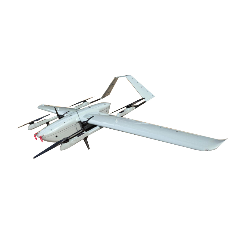
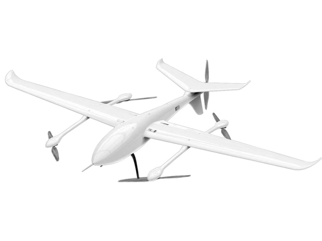
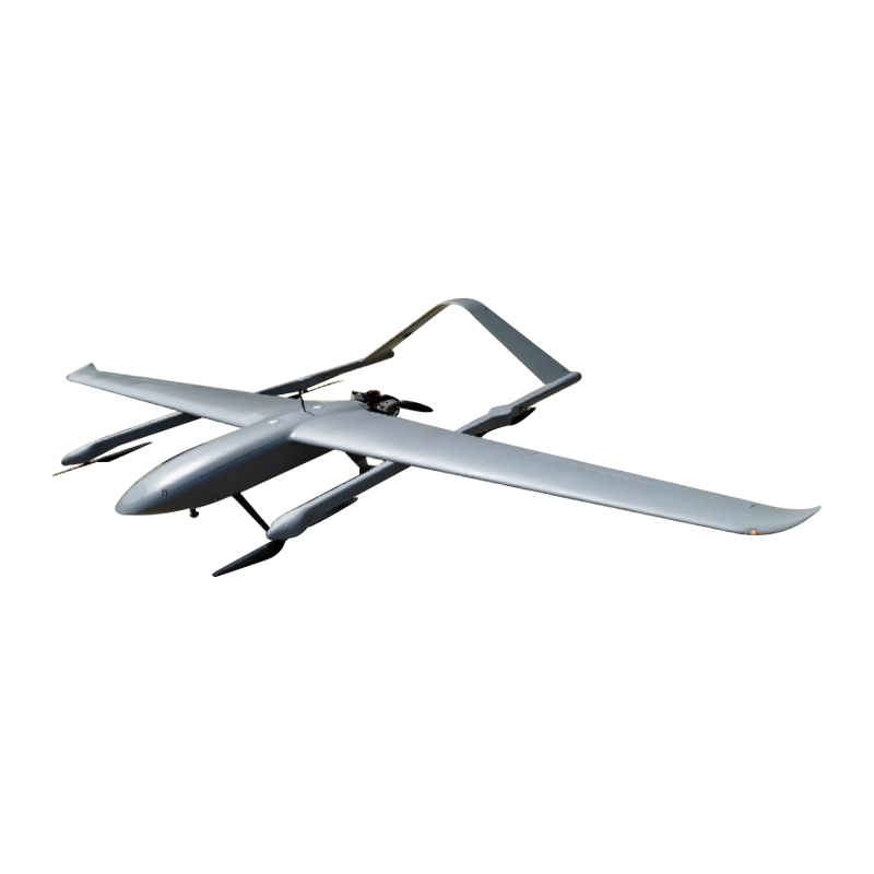
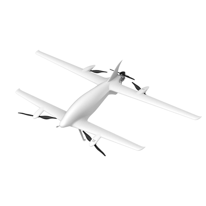
VastArrive Drones Offer Safer, Higher, and Efficient Flights
Industrial activities require strict adherence to regulations, but any drone used must also meet a high-standard. VastArrive drones were created specifically to facilitate these tasks and guarantee safer, higher, more efficient flights while complying fully with all relevant regulations:
Intelligent Altitude Management: Operators can set an optimal safe flight altitude before their flights begin, helping them easily remain within legal limits without overstepping.
Effective Performance and Long Flight Times: Experience powerful performance with long flight times that remain within legal constraints, perfect for inspection, surveying, agriculture, rescue operations and logistics operations.
Reliable Communication Systems: For optimal remote control and video transmission even at high altitudes or in harsh environments.
All-Weather Design: Made for optimal wind- and cold-proof performance in harsh environmental conditions to safely complete missions safely.
VastArrive provides electric, hybrid, and heavy-lift drones suitable for various flight heights and industrial uses. If you require reliable yet cost-efficient industrial drone solutions, VastArrive could be an ideal choice.
FAQs
How high can a police drone fly?
Police drones tend to follow the same FAA regulations as other drones, typically limited to flying 400 feet (120 meters) above ground level; specialized law enforcement drones may receive approval for higher flights.
Is it legal to fly a drone around your neighborhood?
Absolutely, provided they adhere to FAA regulations, avoid airports and stay below 400 feet; all while remaining within line of sight of their pilot and complying with local privacy laws.
Will the FAA know I’m flying my drone?
Yes. If your drone weighs 0.55 lbs (250g) or more, you are required to register it with the FAA; registered drones can be tracked if needed while unregistered ones may not always be automatically detected; flying illegally could still result in legal consequences.
Do I need a license to fly a drone in the USA?
No license is needed for recreational flying under 400 feet, however commercial operators require an FAA Part 107 remote pilot certificate for commercial operations.
Related Products