What is Drone Surveying? 5 Things You Must Know
Drone surveying is a remote sensing technology that uses data from onboard sensors of unmanned aerial vehicles (UAVs) to create two-dimensional and three-dimensional maps of a given area.
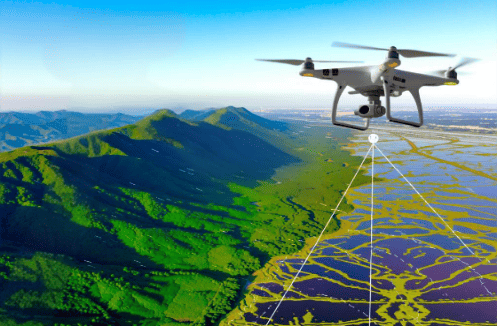
The generated maps are typically geospatial maps. Each data point in the map has specific real-world coordinates. The embedded map data enables practical measurement applications through its use in land surveying and construction and agriculture and urban planning.
The 3 Most Important Components of Drone Surveying
Drone mapping systems require several essential system components to work together to produce accurate mapping results which engineers and planners can use for their work. The three main components of the system include the UAV platform and onboard sensors and surveying technologies which their data accuracy and operational efficiency and application value depend on.
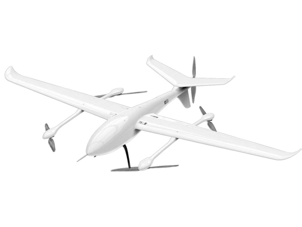
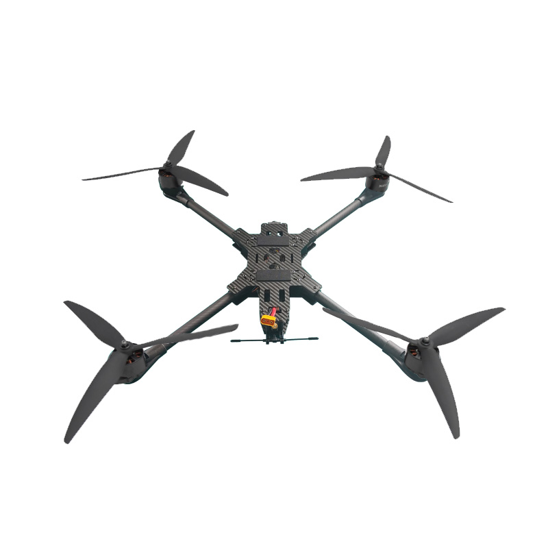
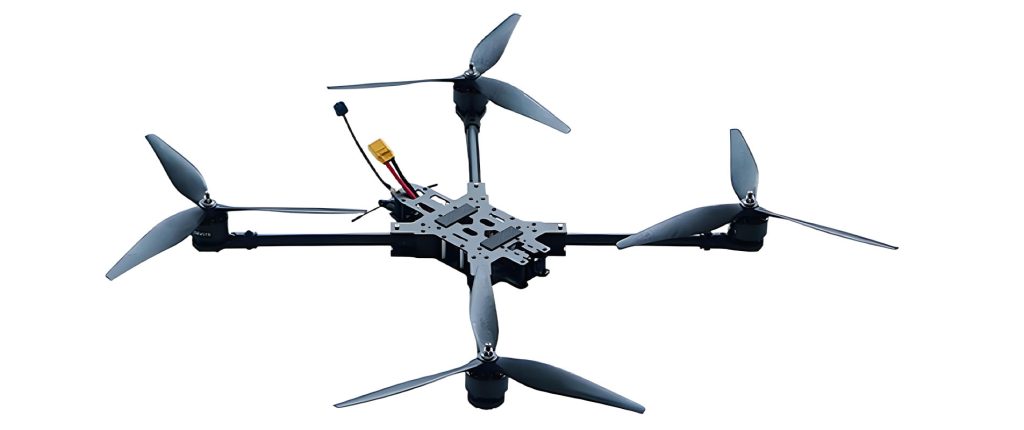
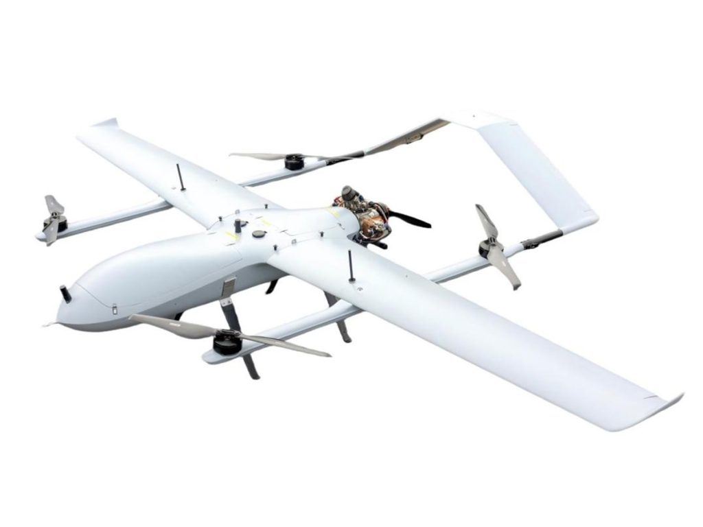
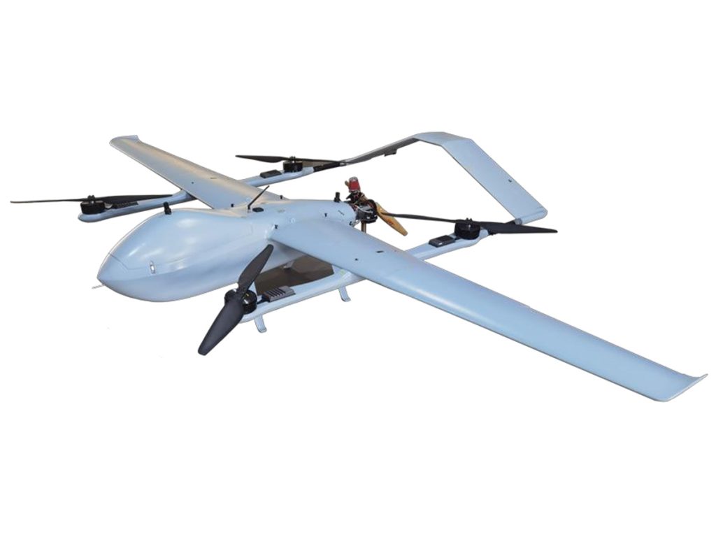
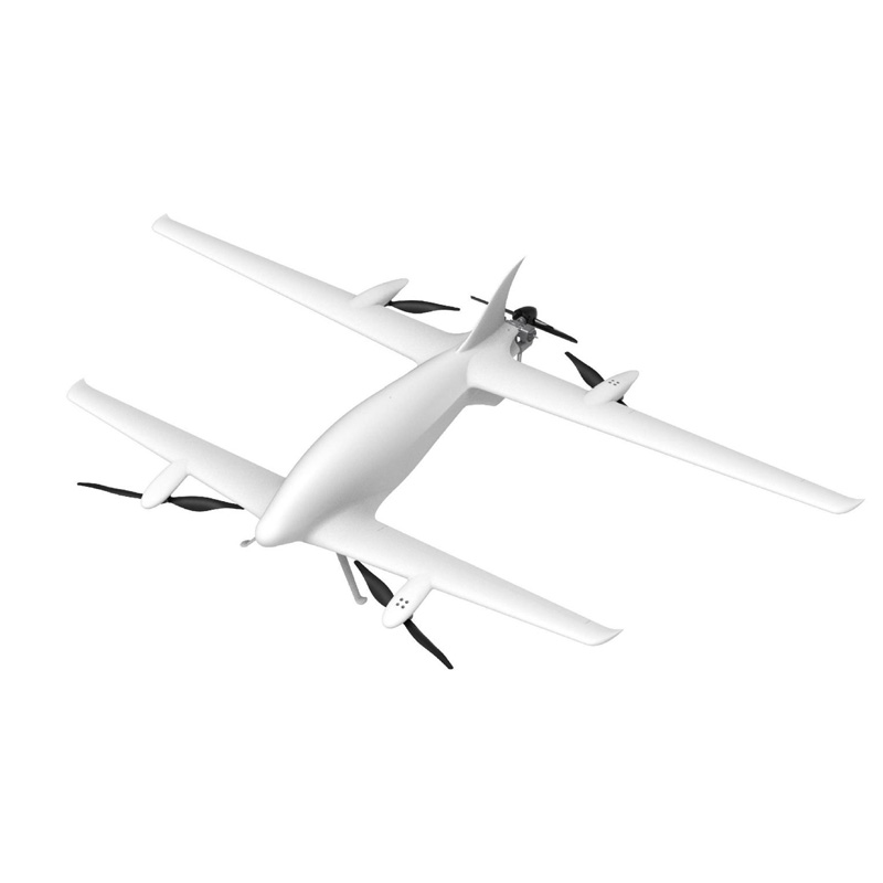
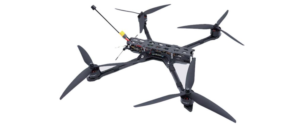
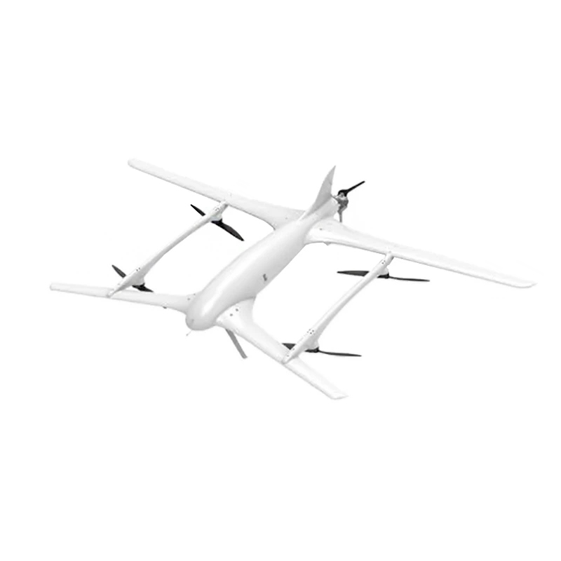
UAV Platform
The UAV serves as the “aerial carrier” of the entire surveying system. Its performance directly affects operational efficiency, coverage area, and data stability. In real-world engineering projects, a professional UAV designed for surveying can significantly reduce deployment complexity and operational risks.
For example, VastArrive offers dedicated UAV solutions for topographic survey applications. These systems are optimized for complex terrain and large-scale areas, enabling stable and efficient data acquisition. Such UAV platforms are typically engineered at the system level for surveying tasks, making them well suited for engineering measurement, infrastructure construction, and resource investigation within modern drone surveying workflows.
UAV Sensors
Drones do not produce data because their onboard sensors are responsible for obtaining data. The selection of sensors for surveying purposes determines both the resulting output format and the accuracy of the final results.
Orthophoto images and 3D models require high-resolution RGB cameras while multispectral and hyperspectral sensors are suitable for studying vegetation and agricultural and environmental research and lidar sensors provide precise measurements of terrain and elevation. In engineering surveying projects, the selected sensor equipment holds greater importance than the chosen drone platform because specific project needs determine which sensors should be used.
Surveying Technologies and Software
The technical components of drone surveying technology divide into two main categories which include photogrammetry and LiDAR surveying. The two methods provide different levels of accuracy which makes them suitable for use in various environmental conditions.
Photogrammetry
Photogrammetry uses multiple overlapping aerial images to produce 3D models and surface data. The method performs effectively in wide open spaces which have excellent visibility despite its low operational costs. The method requires orthomosaic mapping and 3D modeling and earthwork volume calculation as its standard applications.
Photogrammetry serves as the primary method for drone surveying because it effectively supports construction site operations and land surveying activities and urban development projects.
LiDAR Surveying
LiDAR surveying uses laser pulse emissions to create 3D point cloud data through its capability to analyze returned signals. The system’s main benefit enables it to penetrate plant life while it records actual ground height measurements.
LiDAR provides accurate measurements which remain dependable in challenging environments that include complex landscapes and forested areas and mining sites and locations with dense plant growth. LiDAR-based aerial surveying becomes the main choice for projects that need precise elevation measurements.
The Workflow of Drone Surveying
Major Application Areas of Drone Surveying
Drone mapping has found broad application in varied industries around the globe, of which the next six seem to be namely:
Construction and Infrastructure
This system supports construction companies in three main activities: site planning, construction progress monitoring, and earthwork measurement. It achieves its goals by optimizing resource allocation, thereby reducing the risk of construction errors and improving project quality.

Mines and Quarries
Drone mapping can replace traditional manual surveying, quickly completing stockpile volume measurement and mine pit modeling, reducing the risks of manual operations, and improving the efficiency of mineral resource management and safety decision-making.
Land Surveying
Drones produce high-resolution photographs and point cloud information which create precise digital surface models (DEM/DSM). These models enable land-use planning and urban and rural development and land valuation while enhancing surveying speed and accuracy.
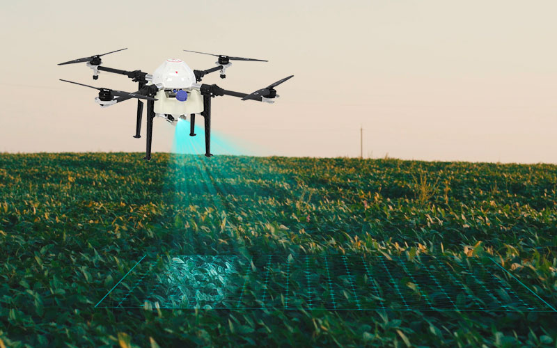
Agriculture
Farmers use multispectral sensors and 3D terrain data to assess drainage system performance and determine soil moisture levels and crop growth conditions, which helps them develop effective planting strategies that boost crop yield while minimizing farming expenses.
Environmental Monitoring
Drones can quickly cover large areas which produce high-precision terrain and hydrological models that enable environmental management departments to identify risk areas while they assess erosion and flood impacts and develop disaster prevention and mitigation strategies.
Energy and Utilities
Companies can use drone mapping to create 3D models and analyze terrain across extensive areas which include their pipeline networks and major energy plants. This technology enables firms to improve their operational efficiency while reducing inspection expenses and enhancing their safety management capabilities.
Key Advantages of Drone Surveying
Compared with traditional surveying methods, drone surveying offers several clear advantages:
- High operational efficiency
- Improved safety
- Controllable costs
- High data density
- Strong repeatability
Limitations and Considerations
Drone surveying provides accurate and speedy results but still encounters certain restrictions.
First, drones must comply with local regulations, meaning they must obtain flight permits for specific areas, including urban areas and protected zones.
Second, drone systems are affected by weather conditions, as their flight performance and data accuracy depend on factors such as wind speed, rainfall, and fog.
Third, drone mapping requires advanced data analysis, as both aerial imagery and lidar measurements require specialized software tools, which demand expertise.
Fourth, the application scope of drones is limited because they cannot operate in environments with many obstacles, indoor spaces, or densely populated urban areas.
Finally, traditional mapping methods remain crucial for legal boundary measurements requiring extremely high precision.
Drone surveying provides efficient results but it falls short of being a complete solution. The evaluation process enables optimal results through regulations and environmental factors and operational capacity and task objectives which guide the selection of flight plans and sensor systems and surveying techniques.
Related Products