High Comprehensive Strength Supplier in UAV Field
Safe & Reliable & Practical Civilian Drones
High Comprehensive Strength Supplier in UAV Field
Safe & Reliable & Practical Civilian Drones

About VastArrive
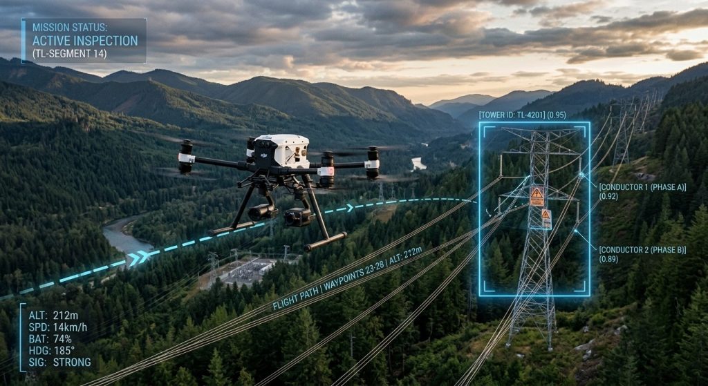
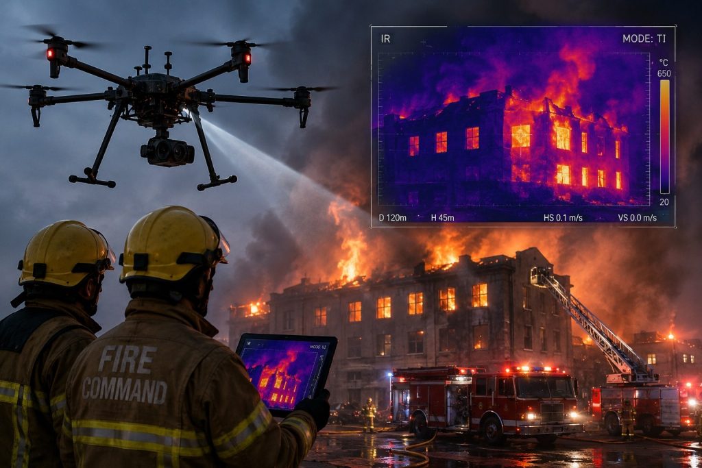
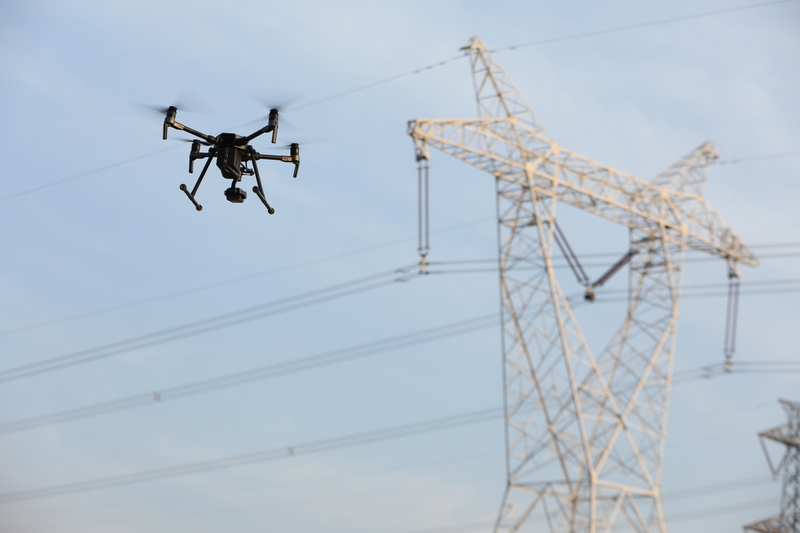
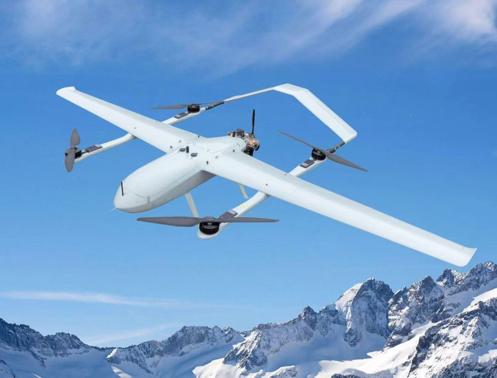
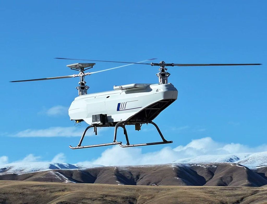
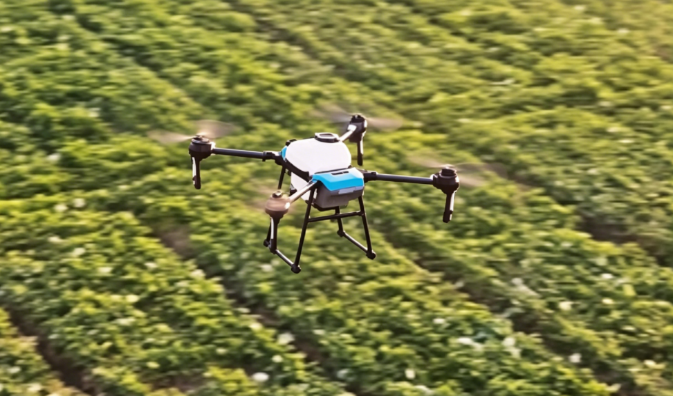
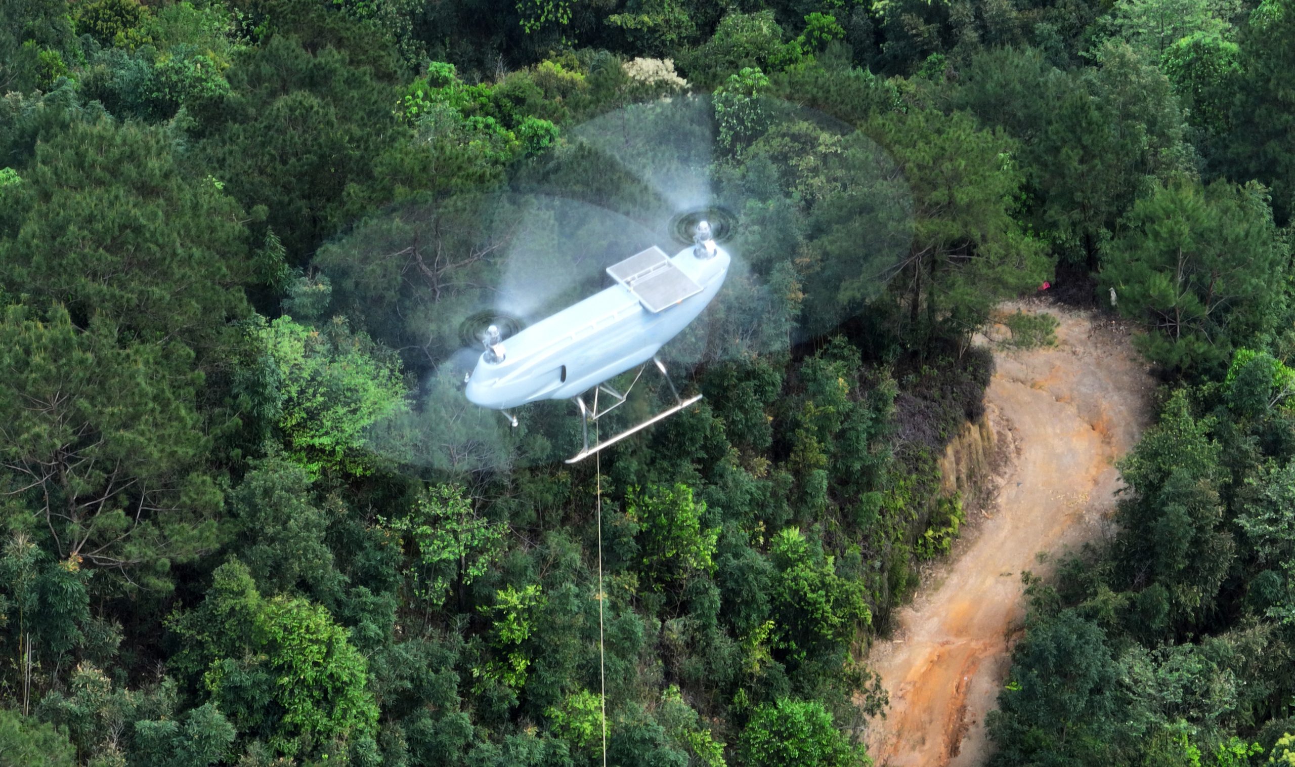
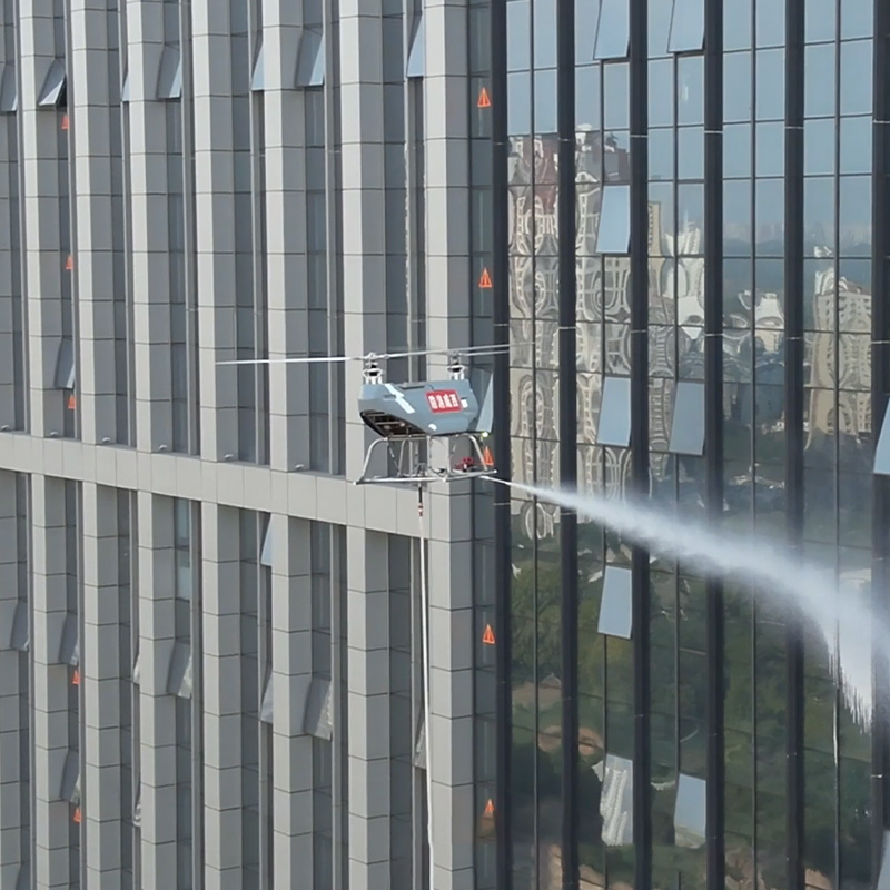
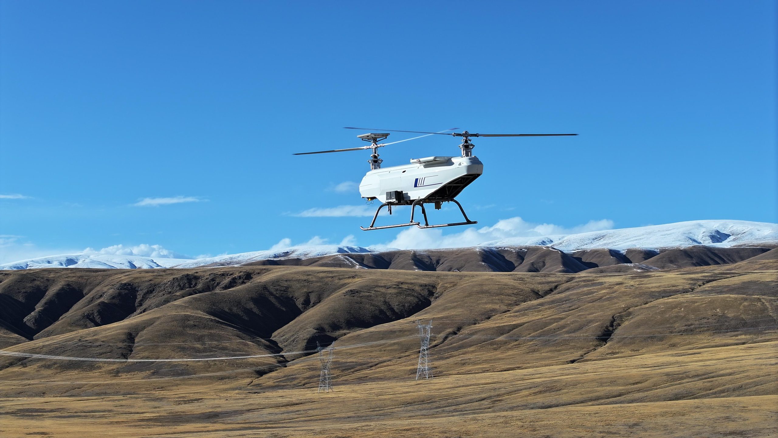
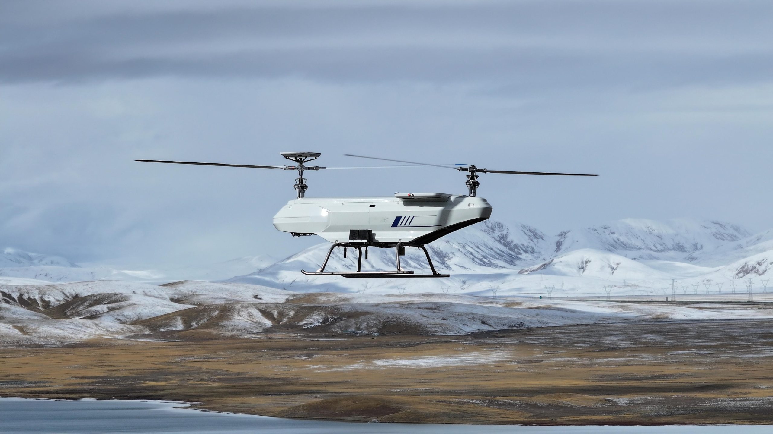
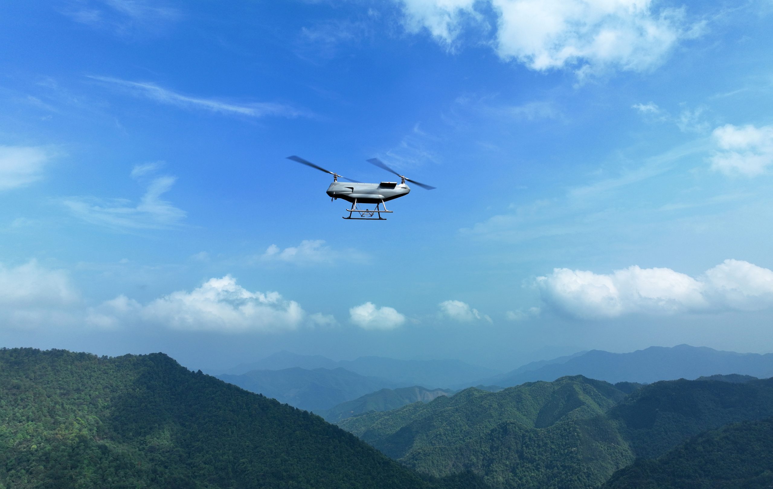
VastArrive has a complete business chain including, design and development, production, marketing, flight services, and training. It mainly deals in drones and drone intelligent airborne equipment, and professionally serves diversified application scenarios such as civil transportation, agricultural meteorology, fire rescue, urban emergency response, communications support, border patrol, land surveying, environmental monitoring, scientific research flights, etc. It aims to deeply cultivate the drone industry and is committed to becoming a top domestic and internationally leading supplier of industry application products and personalized customized solutions.
About VastArrive
VastArrive has a complete business chain including, design and development, production, marketing, flight services, and training. It mainly deals in drones and drone intelligent airborne equipment, and professionally serves diversified application scenarios such as civil transportation, agricultural meteorology, fire rescue, urban emergency response, communications support, border patrol, land surveying, environmental monitoring, scientific research flights, etc. It aims to deeply cultivate the drone industry and is committed to becoming a top domestic and internationally leading supplier of industry application products and personalized customized solutions.
Why Choose VastArrive
High quality & Complete product chain
Experienced technical team
Safe & Reliable production system
Professional flight team training
Timely & Efficient Sales service
Reasonable transportation process
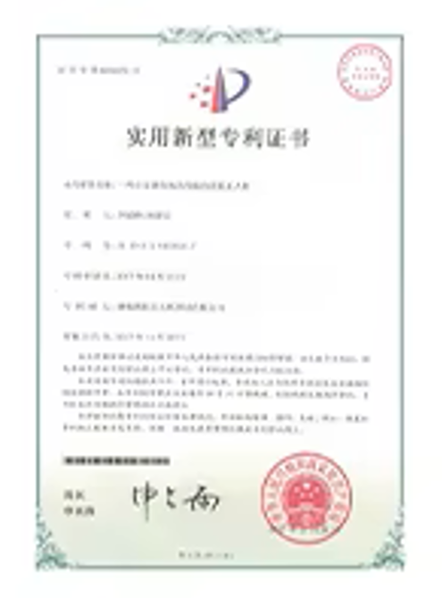
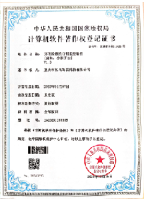
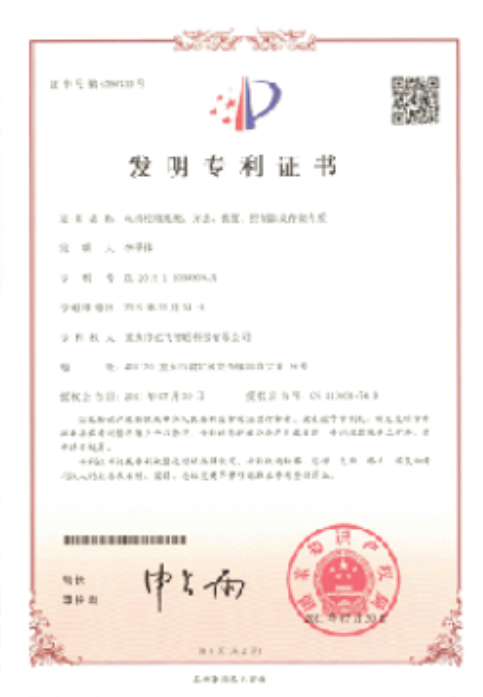
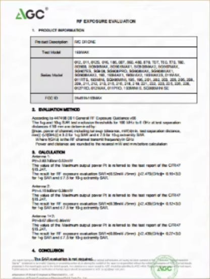
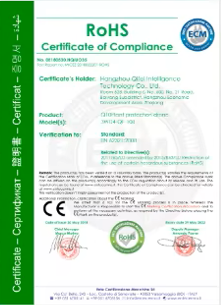
Certification
Reviews
When I first heard Vastarrive, we were only concerned about the price and had a lot of doubts about the quality, but it turns out they have a full range of drones with excellent performance.
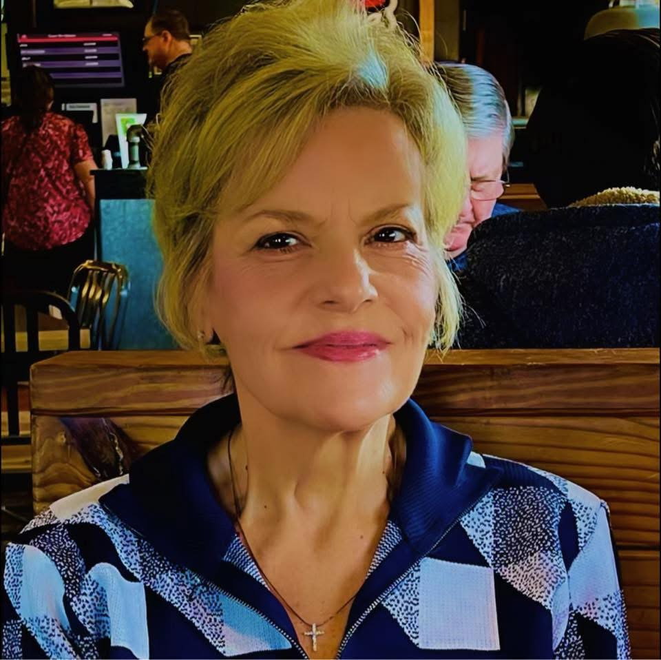
Sylvia Guzman
Producer.Mgr.
Vastarrive has the best vertical take-off and landing drones in the world. They are incredibly reliable, practical, and rapidly developing. They also provide excellent after-sales service support
and professional technical support.

Carvin Thomas
UAS buyer
Vastarrive has a wide range of drones and a complete range of supporting equipment, giving you a wide range of options. They are very professional.

Tom
IQC.Engineer
News
We will be sharing some industry and brand news here.