How to Survey Land with a Drone?
With the rapid development of drone technology, traditional land surveying methods are being replaced by more efficient and precise solutions. Drone land surveying, known for its high efficiency, low cost, and high accuracy, is now widely used in industries such as construction, agriculture, and mining.
So, how to survey land with a drone? Here, we will provide you with a complete and practical guide. Here we go!
What is Drone Land Surveying?
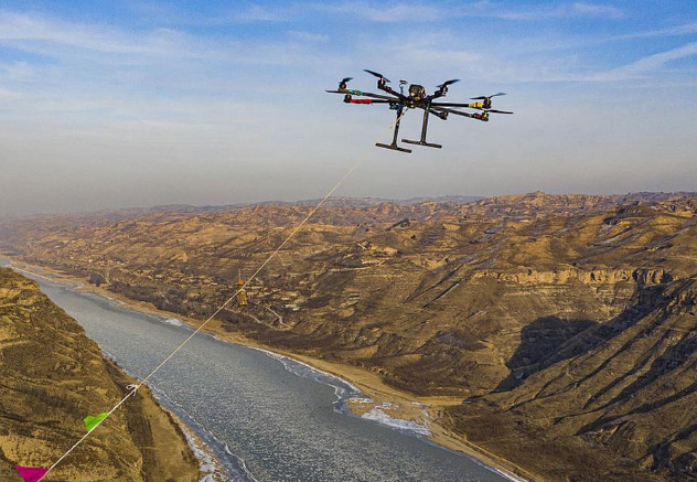
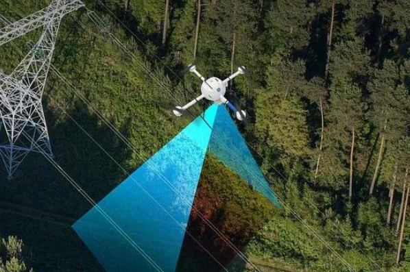
Drone land surveying refers to the process of accomplishing survey tasks with the aid of unmanned aerial vehicles, which are equipped with cameras that produce high-quality content and other state-of-the-art sensors, for example, GPS, LiDAR, and multispectral sensors. The drones fly along their predetermined (generally rectangular or circular) paths, collecting visual and geographical data from multiple perspectives.
The collected data is processed through specialized software, which produces accurate results, including orthomosaic maps, 3D models, topographic maps, and exact measurement data. The efficiency of drone surveying methods exceeds traditional surveying methods while their accuracy remains at high standards.
Advantages of Using Drones for Land Surveying
1. Higher Efficiency
Drones can automatically follow pre-planned flight paths to capture large volumes of high-quality data in a short time. Drones complete their work within a few hours while traditional surveying methods need several days to finish their work on large and complicated terrains. This development leads to better results in all work activities.
2. High Accuracy
Drone surveying achieves centimeter-level accuracy through the integration of RTK (Real-Time Kinematic) positioning and GCPs (Ground Control Points) together. The system produces authentic orthomosaic maps and 3D models which meet the standards required for engineering surveys and planning projects when professional surveying software processes the data.
3. Lower Cost
Essentially, drones can help in the coverage of survey works by cutting down the demand for massive survey teams and the importance of traditional equipment investments. At another level, a minimal staff may cover vast surveys with much benefit in terms of lowered labor and the amount of time saved, especially related to projects on a grand level.
4. Enhancing Safety
In tough or hazardous constructions like mining areas, steep slopes, or construction, drones would replace humans in all the tasks of data collection. This reduces potential risks and drastically provides some safety due to the operational conditions of the challenging terrain.
Equipment Required for Drone Land Surveying
Before starting a drone survey, you need to prepare the following essential equipment:
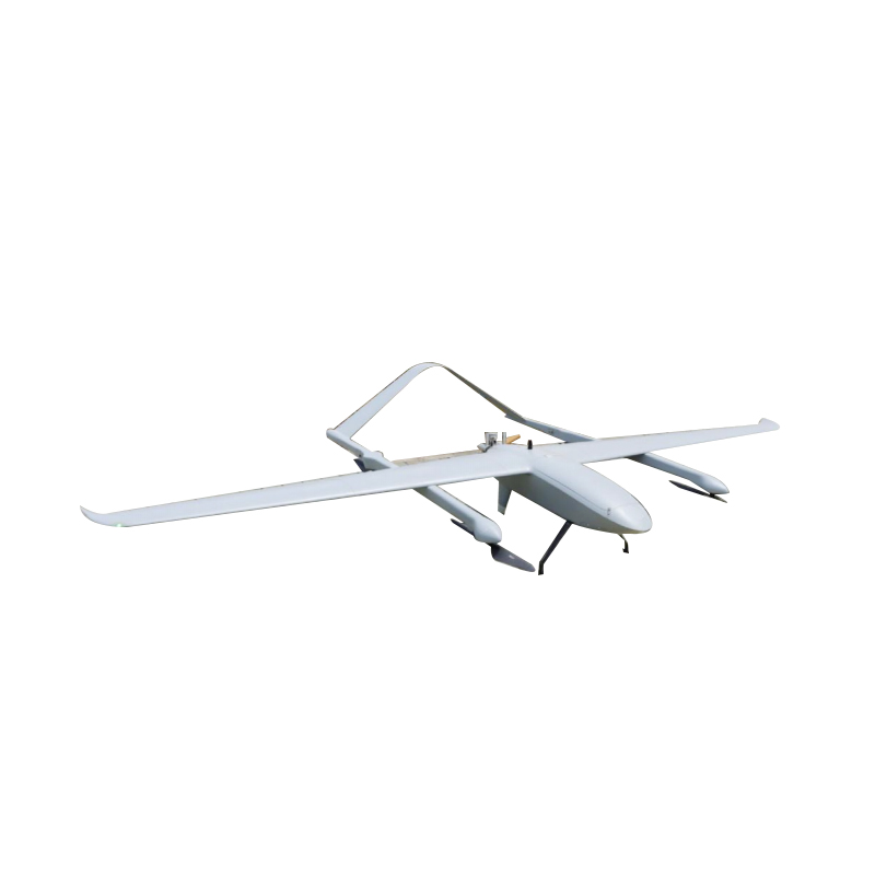
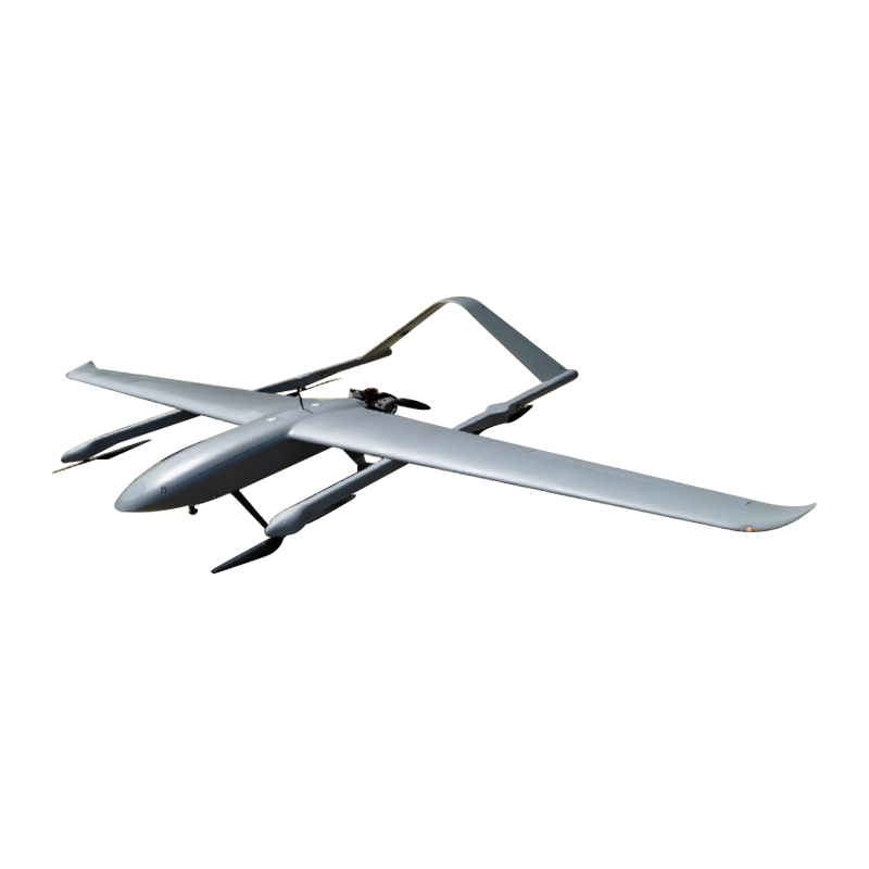
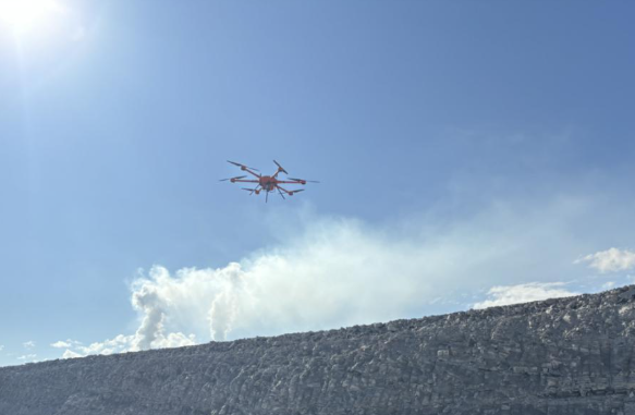
1. Surveying Drone
A drone for mapping and surveying must be the drone of choice, especially if it is an RTK (Real-Time Kinematic) position aircraft. These drones carry high-definition cameras coupled with stable flight systems for capturing data and ensuring more precision in positioning.
2. Ground Control Points (GCPs)
The Geospatial Control Points (GCPs) are ground markers that are known on their coordinates. They are applied to the drone aerial survey data for calibration and georeferencing, which drastically improves the accuracy and reliability of the final survey results.
3. Surveying Software
Specific software is a must when working with the recorded images, data, and outputs like ortho-mosaic maps, 3D models, contour maps, and measurement reports. The functions cover image stitching, point cloud generation, and data analysis.
4. GPS / RTK System
A high-precision GPS or RTK system provides accurate positioning data during the survey. It plays a crucial role in ensuring that the collected data is properly aligned with real-world coordinates, making it an essential component for professional-grade land surveying projects.
How to Survey Land with a Drone?
Below is a complete and clear workflow for drone land surveying, covering everything from preparation to final deliverables. Each step plays a crucial role:
Step 1: Plan the Survey Area
The scope of the survey and the objectives must be defined, such as topographic mapping, diameters, and construction planning or agricultural analysis. The flight boundary and, subsequently, suitable flight altitudes and ground sampling distances (GSDs) would then be set using flight planning software based on project needs.
Airborne image resolution increases with decreasing flight altitudes, which ultimately leads to a longer flight mission. Therefore, a trade-off between productivity and accuracy will always remain the goal.
Step 2: Set Up Ground Control Points (GCPs)
Distribute GCPs uniformly spread over the survey zone, typically at corners and the middle, to bring enhancement to the general accuracy. The points have to be measured with a high-precision GPS or RTK equipment to achieve very accurate readings. GCPs permit calibration of the drone data and make a great improvement in the spatial accuracy of the final deliverable.
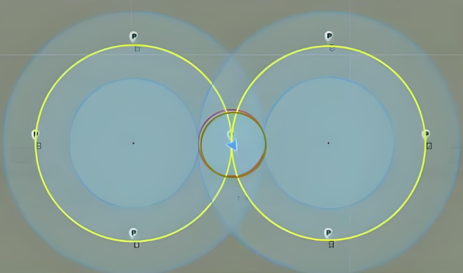
Step 3: Configure the Flight Mission
Set detailed flight parameters in the software according to the survey requirements. Key parameters include:
Overlap Rate: It is recommended to set 70%–80% front overlap and 60%–70% side overlap to ensure proper image stitching
Flight Path: Usually designed in a grid pattern to ensure full coverage
Flight Speed and Altitude: Adjust based on camera performance and lighting conditions to avoid motion blur or uneven exposure
Proper parameter settings are essential for ensuring high-quality data.
Step 4: Execute the Drone Flight
Once everything is set, start the automated flight mission. The drone will follow the predefined route and capture images or data at specific intervals. During the flight, monitor the drone’s status, battery level, and signal connection in real time to ensure a safe and smooth operation.
Step 5: Data Collection and Processing
After the flight, import the data collection into any professional surveying software for processing. During processing, it is good to stitch the images to make them orthomosaic maps, generate the point clouds, do some 3D modeling, and correct the data. If GCPs are being used, they should be imported by marking and matching them in the software to improve the accuracy even more.
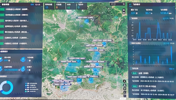
Step 6: Generate Final Deliverables
After processing, you can generate various outputs to meet different application needs, including:
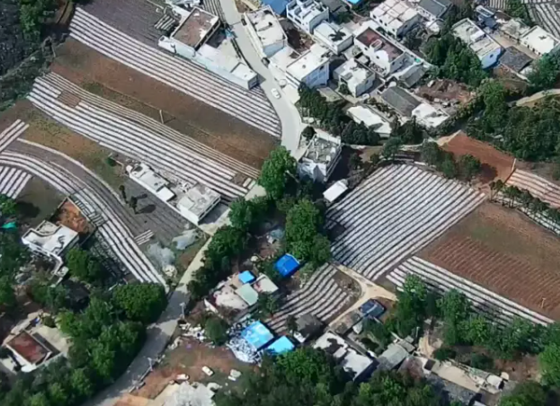
Orthomosaic Map: Used for accurate 2D measurements and analysis
Digital Elevation Model (DEM): Represents terrain elevation changes
3D Model: Used for visualization and engineering analysis
These results are widely applied in construction, land planning, mining management, and agricultural monitoring.
How Accurate is Drone Land Surveying?
Drone surveying tends to have the most accuracy depending on the route of tools, surveying methods, and data-processing strategies. Typically, accuracy is enhanced and controlled by the following means.
Using RTK (Real-Time Kinematic)
Drones equipped with an RTK system can obtain high-precision positioning data in real time during flight. Accuracy can typically reach centimeter-level, making this method suitable for high-precision engineering surveys or small-area, high-detail mapping projects.
Ground Control Points (GCPs)
The use of a number of high-precision GCPs placed across the survey area and identified during data processing will overall increase the precision of the survey. The amount and layout of the GCPs have a significant direct correlation with the final accuracy of the output.
Surveying Without Control Points
If neither RTK nor GCPs are used, the accuracy of the survey will be relatively low. This method is more common for fast surveys, such as the preliminary reconnaissance, where precision is not a great concern.
The use of both RTK and GCPs presents the best compromise of accuracy and work-rate while still being a common professional choice for facilitating excellent outcomes with drone aerial surveys over land.
Best Practices for Drone Land Surveying
To ensure high-quality and reliable results, it is recommended to follow these best practices:
Fly in Good Weather Conditions
Conduct flights in clear, calm weather with minimal wind and adequate lighting. Avoid strong winds, rain, or heavy shadows, which can affect image quality and drone stability. Poor weather not only risks blurry images but also increases operational hazards.
Maintain Sufficient Image Overlap
Set the flight parameters to achieve a front overlap of 70%–80% and a side overlap of 60%–70%. Adequate overlap helps with image stitching and 3D modeling, improving the completeness and accuracy of the survey data.
Place Ground Control Points (GCPs) Strategically
GCPs are spread over the survey area based on the size and shape, with typical point placements at the edges and middle. Providing enough well-distributed GMCPs significantly increases overall survey accuracy in post-processing.
Regularly Calibrate Equipment
Periodically check and calibrate drone sensors, cameras, and RTK/GPS systems to ensure optimal performance. Even small deviations in equipment can impact survey accuracy, making maintenance and calibration essential.
Follow Local Drone Regulations
Before you sail that UAV off, acquaint yourself with the local drone laws and follow the rules of your local county, including restrictions in airspaces, flight altitude ceilings, and licensing requirements. This is a legal requirement and cuts off any accidents.
Legal and Compliance Requirements for Drone Land Surveying
It is important to understand local laws and regulations before one starts with drone land surveys. This allows for not just legal operation but also flight safety and survey usability. These are the key points:
Flight Altitude Limits
Normally, clear restrictions on drone flight altitudes are established within a particular country or region, most usually under 120 meters (approx. 400 ft.). Nevertheless, differences with city areas, special zones like airports and military bases, and airspace type mean that actual altitudes may still vary but always check the local ordinances on the subject to avoid legal consequences or quarrels with other airspace users.
Flight Permit Requirements
In some areas, commercial drone surveying or aerial photography requires obtaining a flight permit in advance. The type of permit and application process vary by region, typically requiring submission of the flight plan, operator information, and drone specifications. Operating commercially without a permit may result in fines or legal penalties.
Drone Operator Certification or License
A lot of countries require individuals who operate drones to carry a permit or certificate, particularly for activities typical of commercial surveying. A license typically involves both theoretical and practical coursework and an exam to be passed. By doing so, the pilot is in compliance with regulations and holds to safe flight operations.
Airspace and No-Fly Zones
Drone flight is typically restricted to aerospace locations like vicinity of airports, government properties, military, and heavily populated urban areas. Be sure to review local airspace maps prior to survey to avoid restricted and no-fly zones.
Data Privacy and Imaging Regulations
Due to different restrictions in certain regions, aerial photography and surveying data collection are concerned with personal privacy. While conducting the survey, one should avoid recording sensitive information and trespassing privacy. At times, one might even need permission to use certain collected data.
Before starting to conduct an aerial photogrammetric survey with the use of a drone, make sure to fully understand well the legislation in the region, get every kind of permit and legitimate certification required, and attend to airspace regulations and personal privacy. In such a way, an operation may remain totally legal, secure, and admissible.
Applications of Drone Land Surveying
Drone surveying stands, with immense efficiency, accuracy, and versatility, are embraced everywhere in different industries. The sectors of concern are:
Construction Engineering
In this critical and noisy world of construction projects, drones are used primarily for monitoring the development of construction progress, calculating earthwork volumes, and site management. Timely surveys from the sky enable project administrators to achieve real-time knowledge into the progress at the site, optimize construction plans, and kickstart the projects in time, maintaining quality standards.
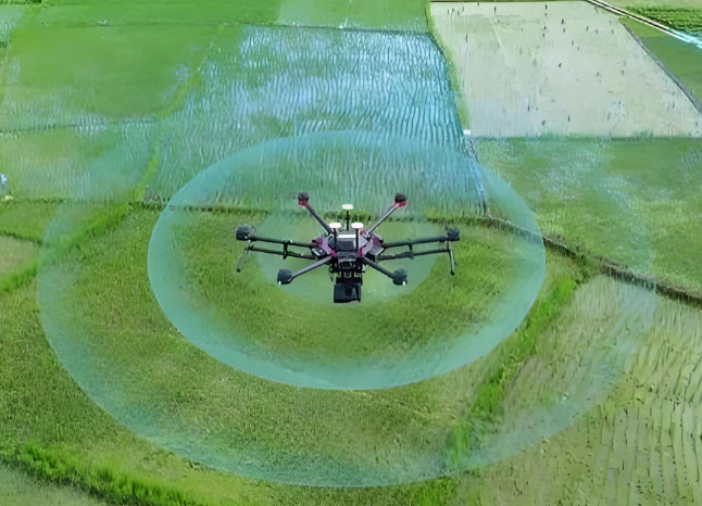
Agriculture
Being agricultural personnel, drones come in handy in three interconnected ways: field mapping, monitoring crop growth, as well as precise farming management. In other words, flying equipped with multispectral or thermal imaging sensors, drones in agriculture allow farmers to reach farmland instantly and fish out a wealth of detailed data on soil composition, crop health, irrigation requirements, and eventually higher crop yield and resource efficiency.
Mining
In mining, drones are employed in partial surveys of mining areas, measuring mined ore heaps, or mine safety assessment. Drones can be lifesavers and can support high-precision surveys in hazardous or otherwise difficult-to-reach sites in this industry. This means reduced risks for personnel, yet the resulting mine planning and resource management is based on solid data.
Real Estate
The use of drones contributes to half of land visualisation and planning analysis via aerial surveying, which is specific to the respective site. At a real estate development stage, developers and planners avail themselves of high-resolution orthomosaic maps for a thorough view of land properties and 3-D modeling to plan better, visualize, and present landscape projects.
Infrastructure
In surveying and monitoring in the interest of infrastructure-like roads, bridges, pipelines, etc., drones are used extensively. They become an immediate catalyst for large-scale spatial data collection for inspections and engineering design, thereby increasing operational efficiency and reducing unforeseen hazards at the site.
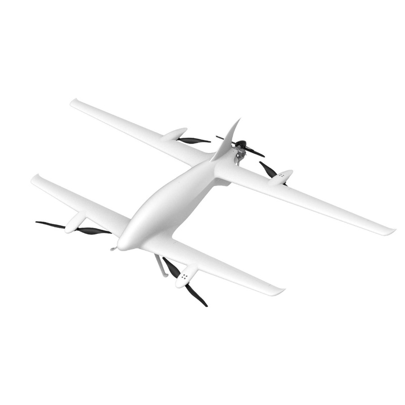
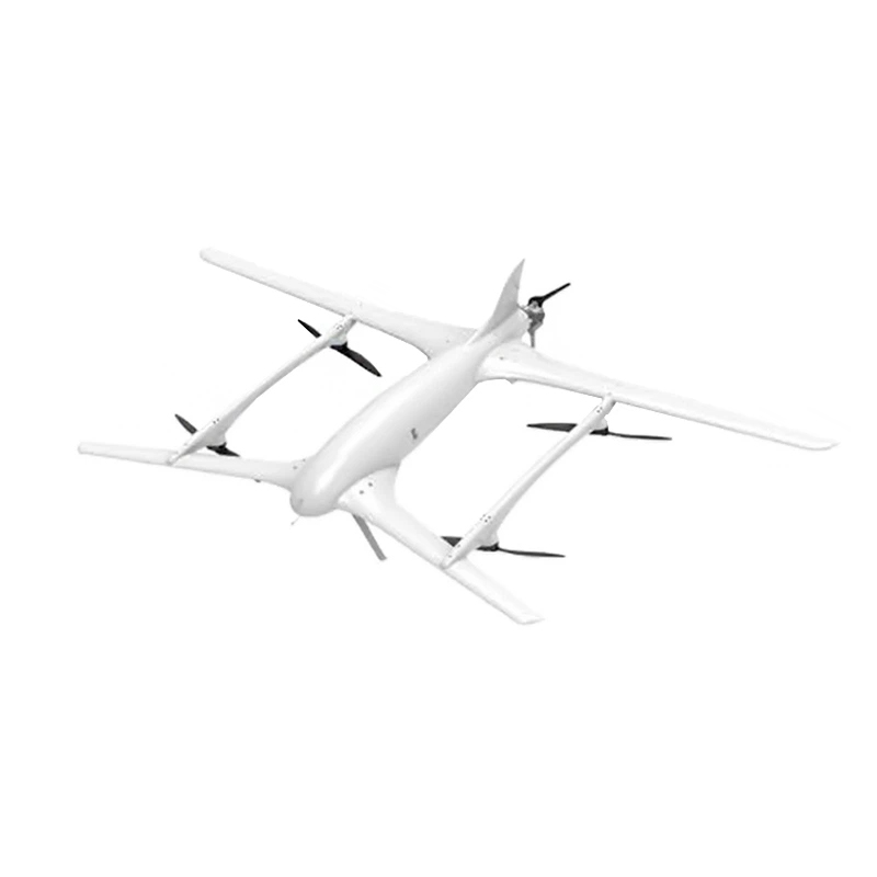
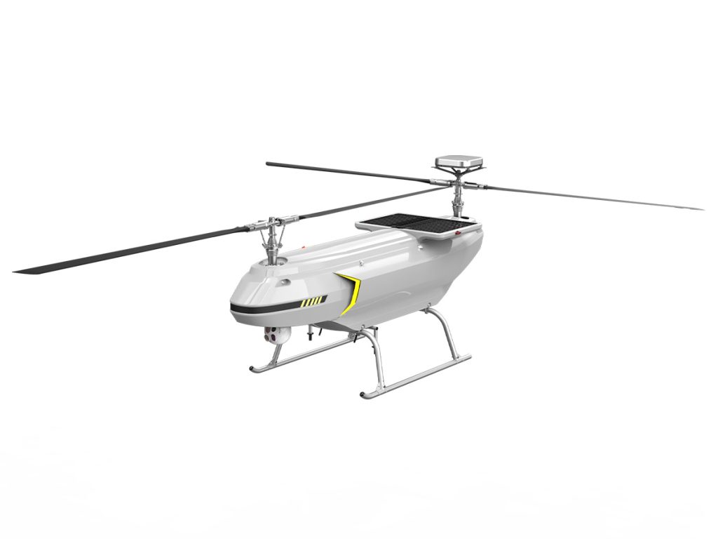
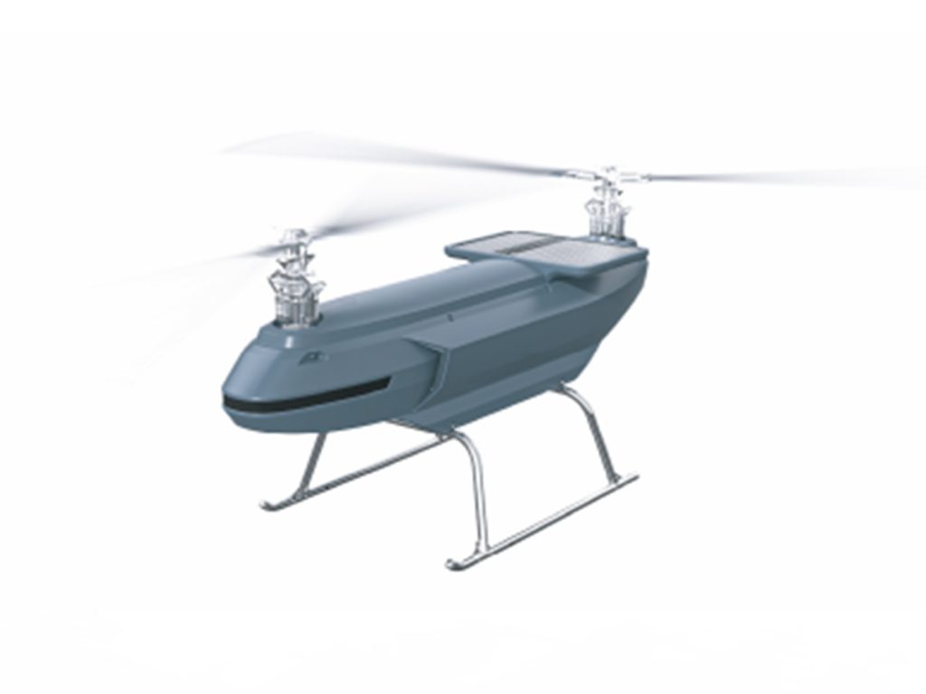
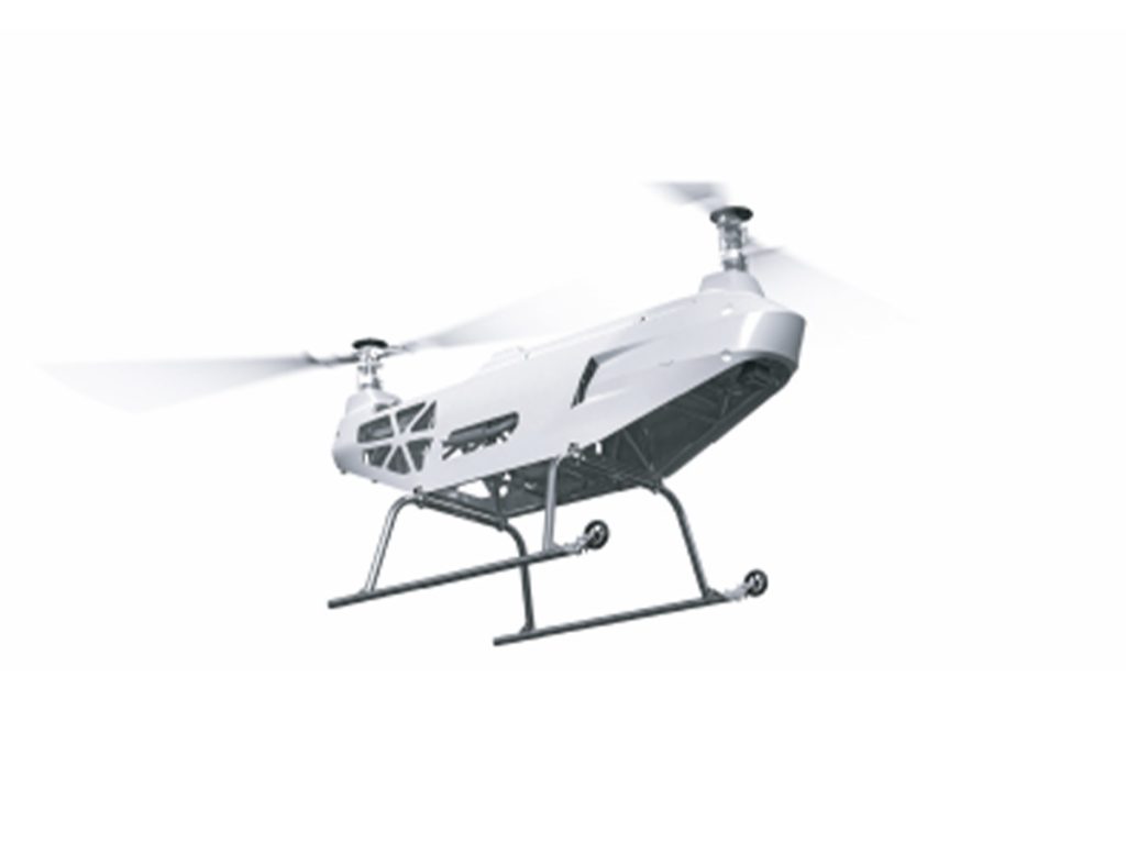
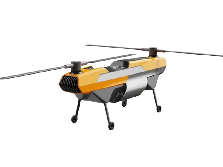
Recommended: VastArrive Drones for Landing Surveying
When it comes to choosing a surveying drone, VastArrive offers high-performance drones specifically designed for land surveying. With VastArrive drones, you can receive the following benefits:
High-Precision Positioning: Supports RTK and GPS systems to ensure every measurement is accurate and reliable.
Stable Flight Performance: Maintains steady flight even in strong winds or challenging terrain, improving data collection efficiency.
Intelligent Flight Planning: Equipped with professional surveying software that can automatically plan grid flight paths, making large-area surveys effortless.
Multi-Scenario Applications: Suitable for various industries, including construction, agriculture, mining, and infrastructure surveying.
With VastArrive, you don’t have to worry about equipment accuracy or reliability, making land surveying with drones simple and efficient.
In a Word
Drone land surveying is gradually becoming the industry standard. Compared with traditional surveying methods, it offers higher efficiency, lower costs, and clear advantages in terms of accuracy and safety.
By selecting the right equipment, following standardized operational procedures, and utilizing advanced software tools, you can easily complete high-quality land surveying tasks.
If you are considering entering the surveying industry or looking to improve project efficiency, drone surveying is undoubtedly a direction worth investing in.
Related Products