Can UAV Land Surveying Completely Replace Traditional Surveying?
UAV land surveying is a frequently used term, often appearing in industries such as urban construction, planning, and energy. There’s even a saying within the industry that “one drone can collect more data in one hour than a traditional surveying team does in a week.” But is it really that amazing? Does the development of modern technology and the widespread adoption of high-precision 3D modeling mean that traditional surveying methods will be rendered obsolete? Can drone topographic survey truly completely replace manual surveying?
UAV Land Surveying vs Traditional Surveying
UAV land surveying and traditional surveying are essentially two completely different data collection modes.
Different Principles
Traditional surveying mainly depends on three tools which include total stations and GNSS receivers and levels because surveyors use these tools to gather ground-based coordinate data which they use to create precise control and feature points. The “points” method creates terrain through mathematical calculations which achieve millimeter-level precision for engineering layout and legal boundary surveying and high-precision construction positioning.
Drone topographic survey uses photogrammetry or LiDAR technology to enable drones to capture aerial imagery and point cloud data which they use to create complete 3D terrain models. The approach, which focuses on “areas,” acquires coordinate data while creating DEMs and contour lines and orthophotos that enable complete digital terrain reconstruction of the surveyed region.
Different Application Scenarios
| Application Scenario | UAV land surveying | Traditional surveying |
| Large-area topographic survey | High efficiency, suitable for large areas | Lower efficiency |
| Land development and planning | Fast terrain data collection | Used to establish control points |
| Mining and earthwork measurement | Main method, fast volume calculation | Used for accuracy verification |
| Construction layout and staking | Limited accuracy, not suitable for direct staking | Primary method, high accuracy |
| Legal boundary survey | Used as support | Standard method |
| Construction progress monitoring | Highly suitable, efficient | Difficult to perform frequently |
| Hazardous area survey | Safe, no need to enter site | Safety risks present |
| Control point survey | Depends on ground control points | Core method |
UAV land surveying operates better for large-scale high-efficiency terrain data collection because it enables more effective data gathering than traditional surveying methods that need precise control for legal surveying purposes. The combination of both methods achieves optimal results because it delivers maximum productive output with precise measurement results.
Applications Where UAV Land Surveys Have Replaced Traditional Methods
| Application Scenario | UAV Survey Advantages | Reason for Replacement |
| Mining and earthwork measurement | Rapid acquisition of large-area terrain and volume data | Improves efficiency and reduces labor intensity |
| Land development planning | High-density terrain models and 3D data | Supports overall planning and visualization analysis |
| Construction progress monitoring | Quick periodic capture of site data | Enables real-time tracking of construction changes, saving time |
| Agricultural surveying | Detailed crop and field terrain data | Large-area coverage with high efficiency |
| Road and infrastructure alignment | Efficient generation of digital terrain models | Provides overall terrain reference for design decisions |
In these applications, UAV land surveys have largely replaced traditional ground-based data collection due to their efficiency, coverage, and data density, while traditional surveying is still needed for precise control points and legal measurement verification.
Why Drone Topographic Survey Cannot Replace Traditional Surveying?
Relative Measurement and Absolute Reference Limitations
Drone topographic surveys use photogrammetry or LiDAR to capture terrain which creates detailed 3D models of the land. The data exists as relative information which needs to be processed through particular methods to achieve alignment with absolute geodetic reference points. The process of integrating national coordinate systems requires ground-based surveying to establish links with actual control networks.
Environmental and Operational Constraints
Aerial surveys experience disruptions from three main factors which include weather conditions and signal disturbances and drone equipment stability. Drones show unreliable performance in three specific environments which include steep areas and densely vegetated areas and areas with limited GNSS access. Ground instruments can function effectively in these conditions to provide ongoing precise measurement results.
Precision Requirements and Professional Instruments
High-precision tasks, such as control point establishment, structural layout, or legal boundary surveys, require millimeter- or sub-centimeter accuracy. Drones fail to deliver the required precision which traditional tools like total stations and calibrated GNSS receivers.
Legal and Professional Standards
Certified surveyors must conduct certain surveys which include cadastral and boundary measurements through their physical presence at the measurement site. Drones can assist with data collection but they cannot provide complete replacement for legally accepted ground measurements.
Hybrid Mapping UsingDrones and Traditional Methods Is A Growing Trend
The future of surveying will achieve its best results through using both UAV topographic surveys and traditional ground-based methods. Drones excel at rapid, large-area data collection, producing dense 3D terrain models efficiently. Traditional surveying provides the high-precision control points, absolute references, and legal compliance required for engineering, cadastral, and boundary tasks.Surveyors who use both these methods will achieve faster results which maintain their measurement accuracy. The standard process begins with ground control point establishment followed by aerial mapping through drones and the confirmation of essential locations. This hybrid method maximizes efficiency while ensuring reliability and legal validity. It represents the current industry standard and the most effective strategy for modern surveying projects.
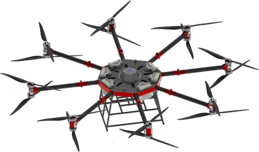
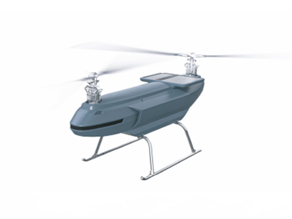
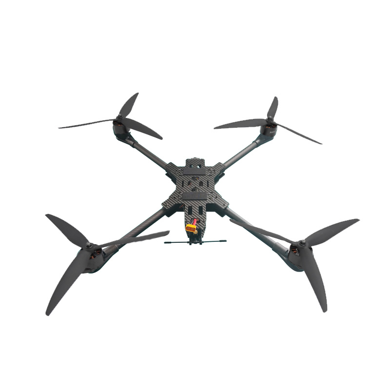
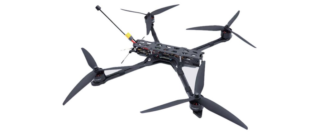
Related Products